
Condemnation of the Spanish conquerors
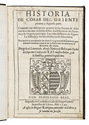
CASAS, Bartholomeo DE LAS.
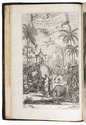
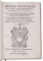
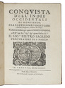
Conquista dell' Indie Occidentali di monsignor Fra Bartolomeo dalle Case o Casaus, Sivigliano, Vescouo di Chiapa.
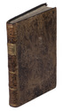
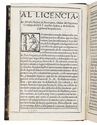
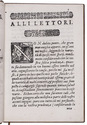
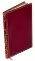
Venice, Marco Ginammi, 1645. 4to. Woodcut printer's device (Hope, with anchor) on title-page, woodcut initials. Later half red morocco, marbled sides gold-tooled spine, marbled endpapers. 8, [4], XVII, [1], 31-184 pp. Full description
€ 1,750
Venice, Marco Ginammi, 1645. 4to. Woodcut printer's device (Hope, with anchor) on title-page, woodcut initials. Later half red morocco, marbled sides gold-tooled spine, marbled endpapers. 8, [4], XVII, [1], 31-184 pp. Full description