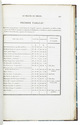

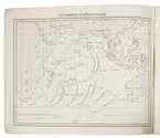
Sailing routes in the Indian Ocean and a general information about its weather, currents, etc. forecast,
with 2 maps showing the Persian Gulf, Red Sea and Gulf of Aden
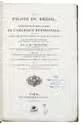
ROSSER, William Henry.
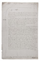
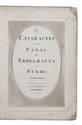
Short notes on the winds, weather, & currents, together with general sailing directions and remarks on making passages; to accompany a chart of the Indian Ocean.
London, James Imray & son, 1878. 8vo. With 2 folding maps. Original publishers blue wrappers. [4], 71 pp. Full description
€ 1,800
London, James Imray & son, 1878. 8vo. With 2 folding maps. Original publishers blue wrappers. [4], 71 pp. Full description