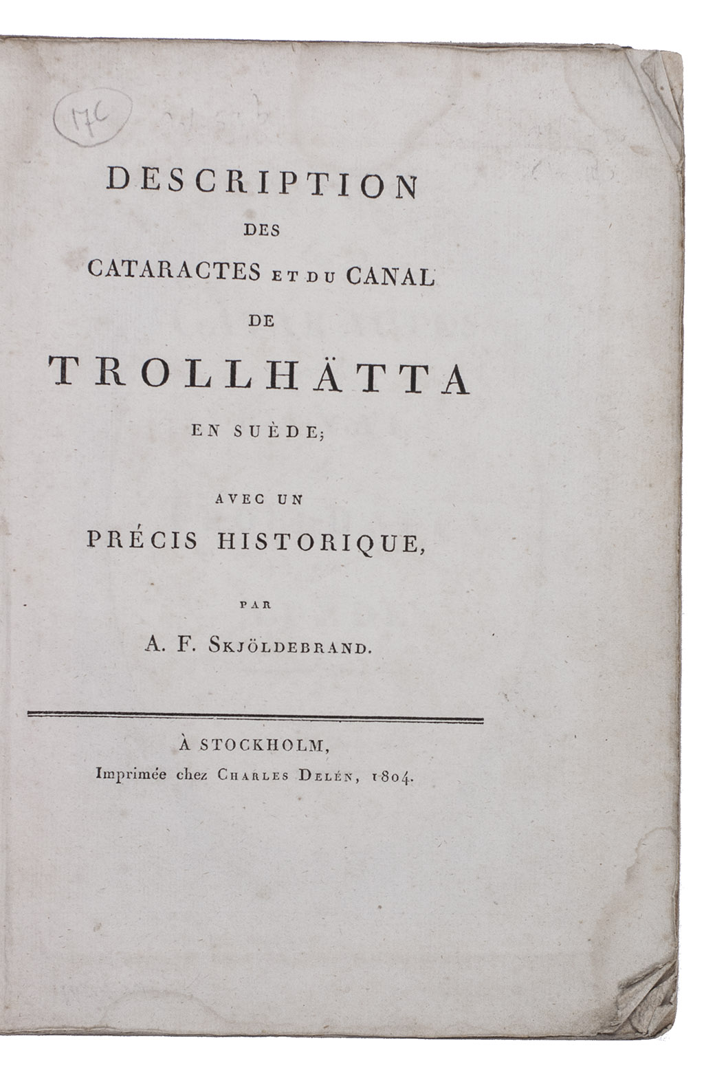
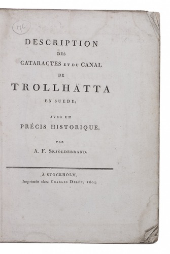
SKJÖLDEBRAND, Anders Frederik.
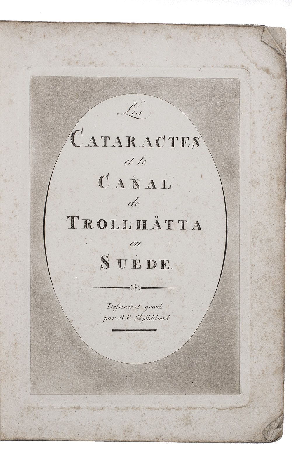
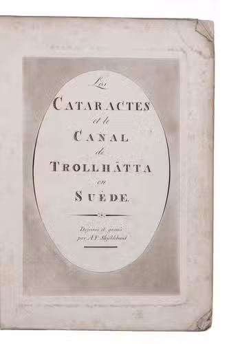
Description des cataractes et du canal de Trollhätta en Suède; avec un précis historique.
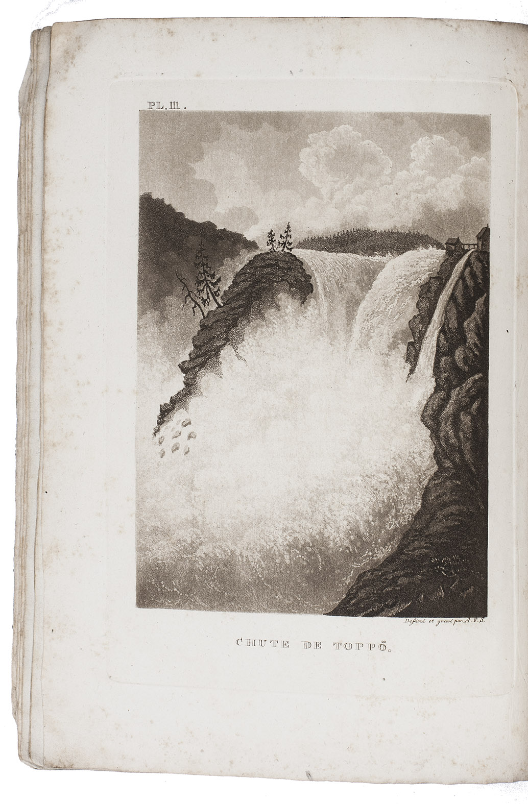
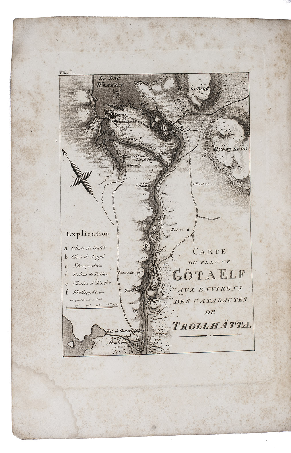
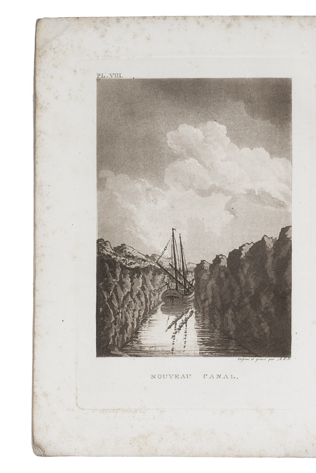
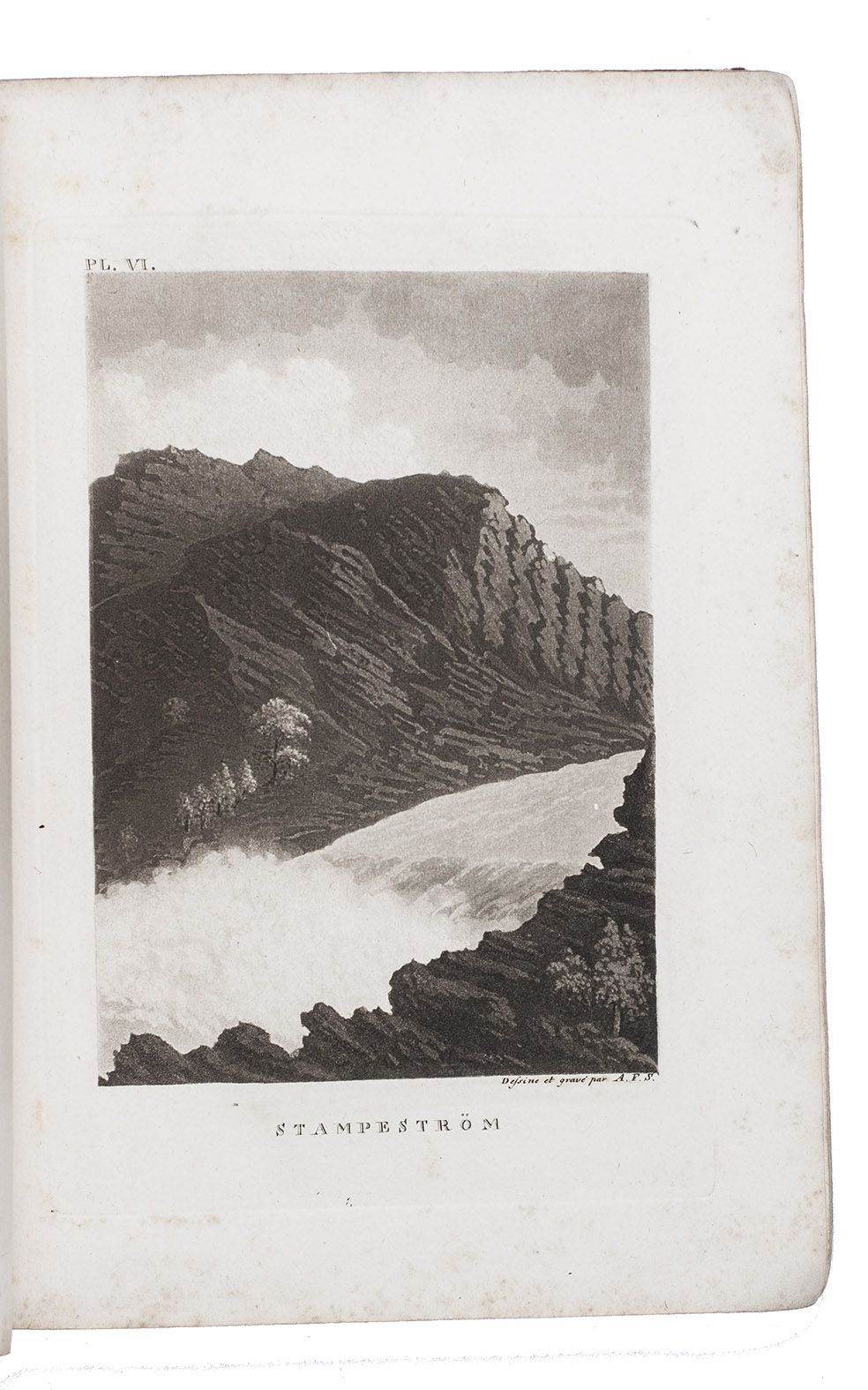
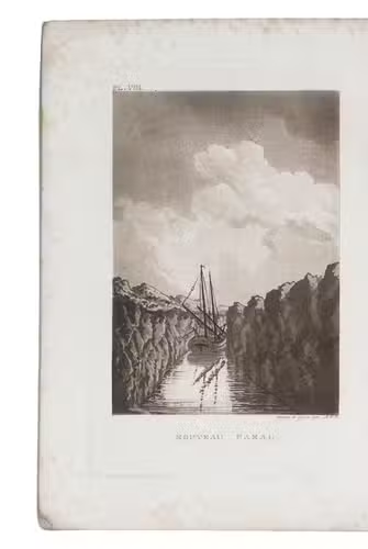
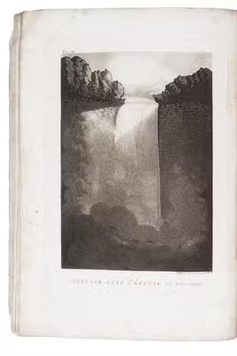
Stockholm, Charles Delén, 1804. 4to. With an aquatint title-page and 12 aquatint plates, including 1 map, all drawn and engraved by the author. Contemporary grey-blue wrappers. [1], [1 blank], 47, [2] pp.
€ 850
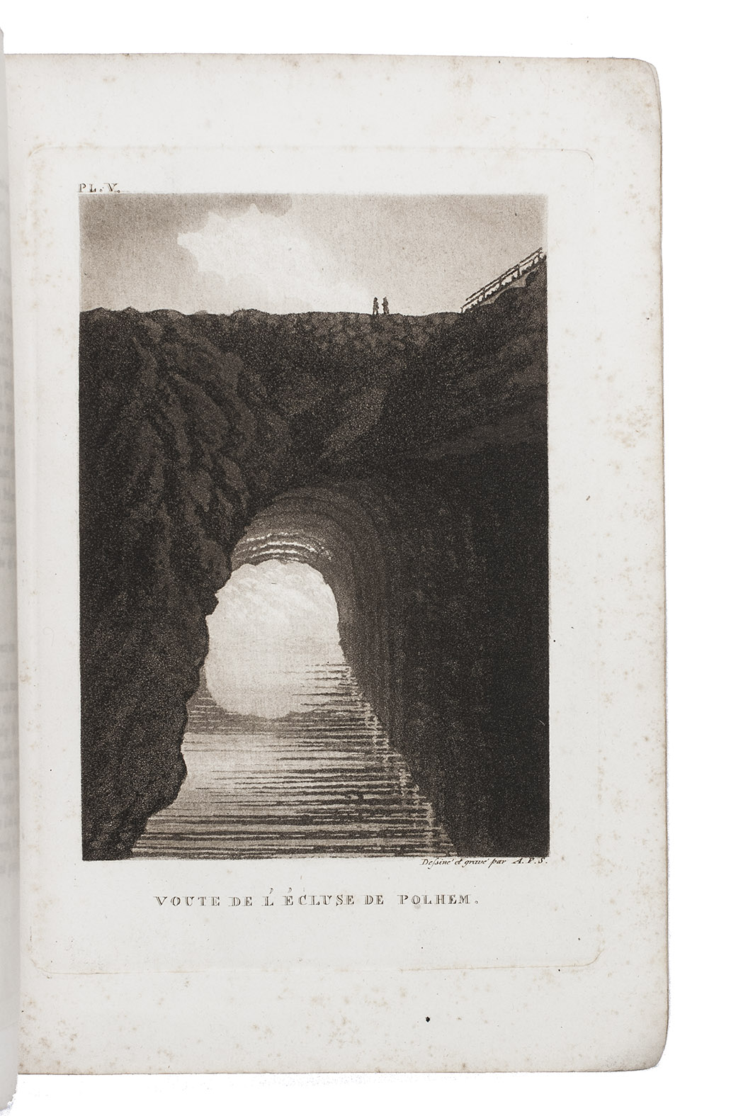
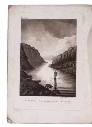
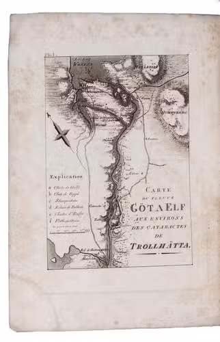
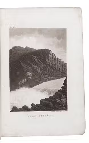
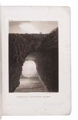
First and only edition in the original French, of a richly illustrated description of the waterfall, locks and canal near Trollhättan in Sweden. Although spectacular, the waterfalls were a great obstacle in the transport of wood from Lake Vänern in the interior of Sweden, to the port of Gothenburg. To navigate the cataracts a canal was cut through solid rock. At the opening in 1800, eight locks could raise and lower a ship 32 meters, making it finally possible to sail past Trollhättan without reloading goods on horse-carts. The waterfall, canal and sluices became, and still are, a popular destination for tourists, providing a market for this description written and illustrated by count Anders Skjöldebrand (1757-1834). The book describes the countryside, culture and feats of engineering near Tröllhattan, starting with the etymology of the city's name and ending with a critique of the current state of the engineering works. A table gives the amount that passed the sluices in 1800-1802.
Browned and foxed throughout, especially the plates, with waterstains at the top and bottom corners. Spine tattered, with the final gathering and back cover partly loose; otherwise a good copy. Brunet V, col. 408; Myren, "Det äldre Trollhättan i konsten", Historia och Historier om "Stranna" XI, pp. 3-32.
Related Subjects: