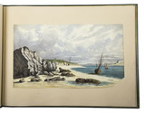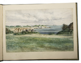

First edition of a well-illustrated account of Phipps's arctic expedition
PHIPPS, Constantine John.
A voyage towards the North Pole undertaken by His Majesty's command 1773.
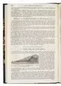
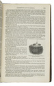
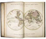
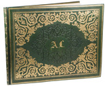
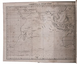
London, William Bowyer and John Nichols for J. Nourse, 1774. Large 4to. With 15 large double-page and larger folding engraved plates, and many letterpress tables in the text. Contemporary tree calf, gold-tooled board edges, rebacked soon after with a richly gold-tooled spine with globes and numerous floral stamps, red morocco spine-label. VIII, 253 pp. Full description
€ 4,000
London, William Bowyer and John Nichols for J. Nourse, 1774. Large 4to. With 15 large double-page and larger folding engraved plates, and many letterpress tables in the text. Contemporary tree calf, gold-tooled board edges, rebacked soon after with a richly gold-tooled spine with globes and numerous floral stamps, red morocco spine-label. VIII, 253 pp. Full description