SWINDEN, Jan Hendrik van, Pieter NIEUWLAND and Gerard HULST VAN KEULEN.
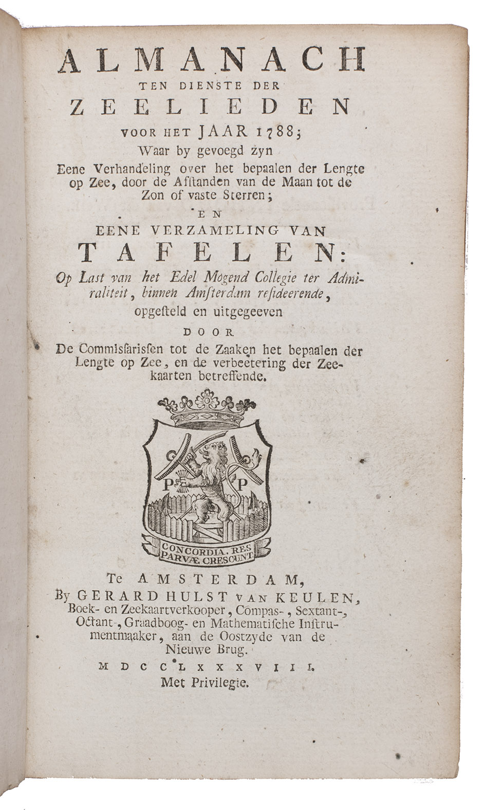
Almanach ten dienste der zeelieden voor het jaar 1788.
Including:
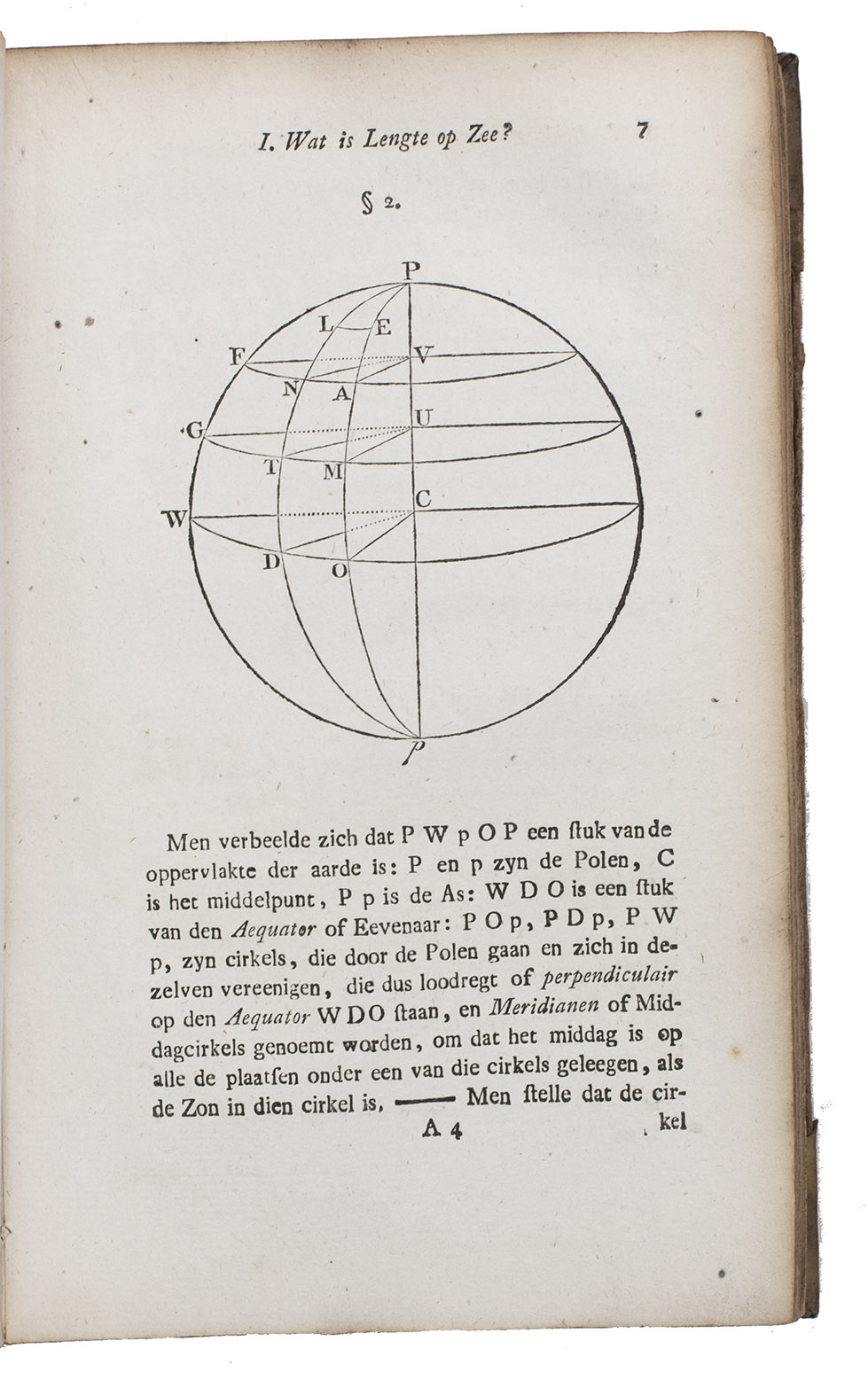
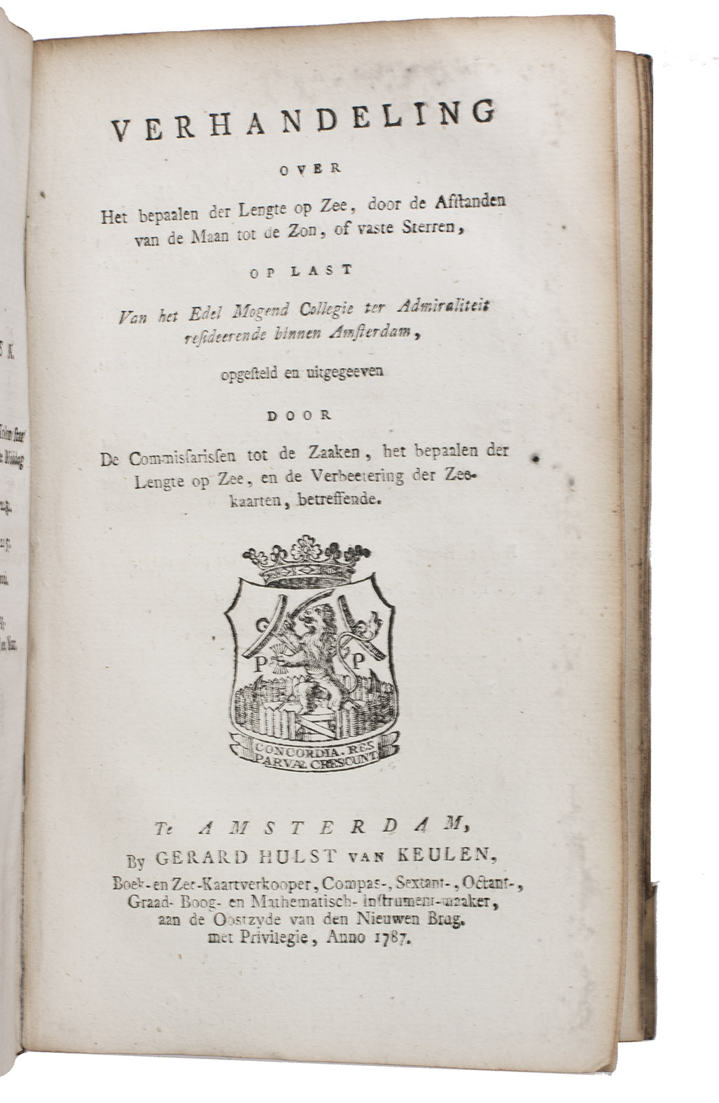
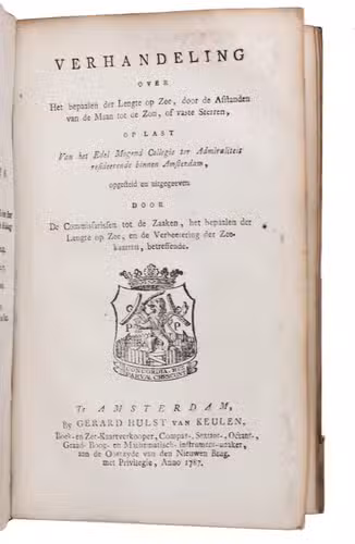
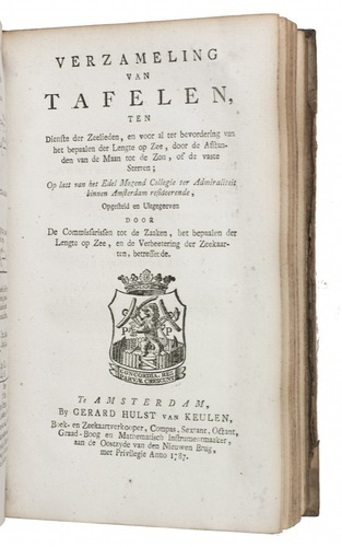
(2) Over het bepalen der lengte op zee door de afstanden van de maan tot de zon, of vaste sterren, ...(3) Van tafelen, ten dienste der zeelieden, en voor al ter bevordering van het bepaalen der lengte op zee, door de afstanden van de maan tot de zon, of de vaste sterren; ...
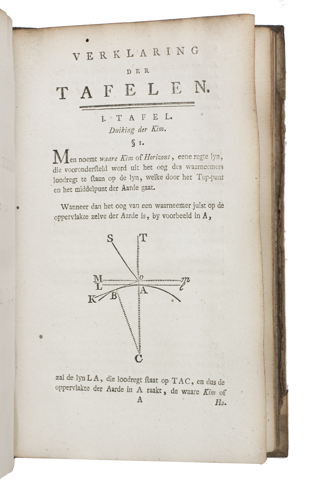
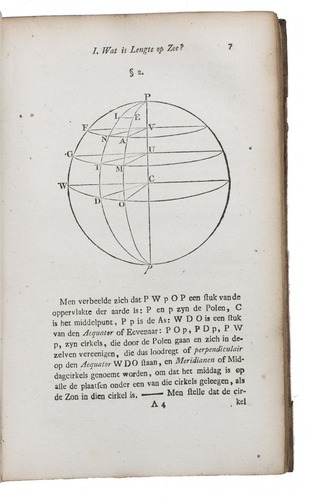
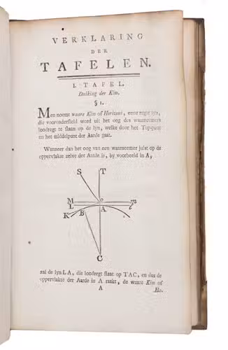
Amsterdam, Gerard Hulst van Keulen, 1787-1788. 3 parts in 1 volume. 8vo. With three title-pages with woodcut printer's device, mathematical figures in the text, letterpress tables, and 4 large printed folding tables. Contemporary half vellum. XXX, 108, 87, [1]; XXIII, 136; [4], 30, [2], 60 pp.
€ 1,500
First edition of an almanac for the use of seamen, in three parts, published by order of the board of the Amsterdam Admiralty by the Committee for the establishment of longitude at sea and the improvement of nautical charts, in which committee Van Swinden played a leading role. The almanac is based on the English Nautical almanac and includes everything that can be of use to seamen, including a separate part on the calculation of longitude at sea and a part with letterpress tables necessary for the calculations. Although John Harrison had already demonstrated the accuracy of his chronometer in the 1760s they were still not in widespread use and the present works calculate longitude from very precise measurements of the position of the moon.
In very good condition, only slightly browned around the margins. Binding worn along the extremities, sides chafed but otherwise good. Bierens de Haan, 4789 (1), 4791 (2), 4793 (3); C.A. Davids, Zeewezen en wetenschap, pp. 188-190; Poggendorf II, col. 1058.
Related Subjects: