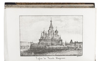

One of the best 18th-century collections of travels and descriptions of various parts of the world,
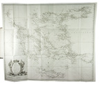
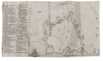
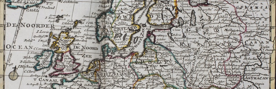
with the fine Bowen maps
HARRIS, John.
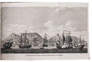
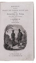
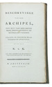
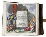
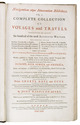
Navigantium atque itinerantium bibliotheca. Or, a complete collection of voyages and travels. Consisting of above six hundred of the most authentic writers, beginning with Hackluit, Purchass, &c. in English Ramusio, Alamandini, Carreri, &c. in Italian ... Together with such other histories, voyages, travels, of discoveries, as are in general esteem; ... containing whatever has been observed worthy of notice in Europe, Asia, Africa, and America ...
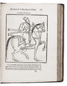
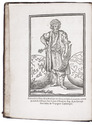
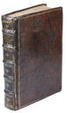
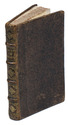
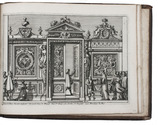
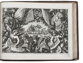
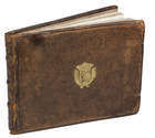
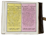
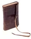
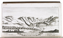
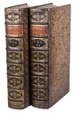
London, Printed for T. Woodward, A. Ward, S. Bird (and 12 others), 1744-48. 2 volumes. Large folio (41 x 25 cm). With the title-pages printed in red and black, 22 maps (16 folding, 6 full-page), 2 full-page plans, 37 full-page plates, and numerous decorated woodcut initials and head- and tail pieces. Contemporary gold-tooled mottled brown calf, richly gold-tooled spines with red morocco title labels lettered in gold, gold-tooled board edges, red edges. [12], XVI, [4], 984; [10], 1056, [10] pp. Full description
€ 20,000
London, Printed for T. Woodward, A. Ward, S. Bird (and 12 others), 1744-48. 2 volumes. Large folio (41 x 25 cm). With the title-pages printed in red and black, 22 maps (16 folding, 6 full-page), 2 full-page plans, 37 full-page plates, and numerous decorated woodcut initials and head- and tail pieces. Contemporary gold-tooled mottled brown calf, richly gold-tooled spines with red morocco title labels lettered in gold, gold-tooled board edges, red edges. [12], XVI, [4], 984; [10], 1056, [10] pp. Full description