
Travelling in Russia in 1835: Russia through the eyes of an Utrecht professor
ACKERSDIJCK, Jan.
Verhaal eener reize in Rusland, gedaan in het jaar 1835.
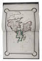
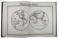
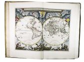
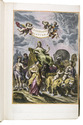
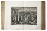
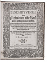
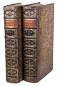
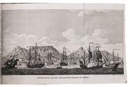
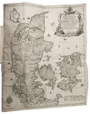
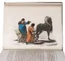
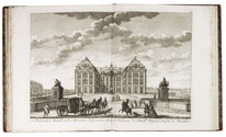
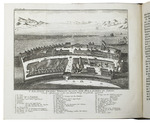
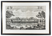
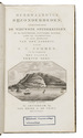
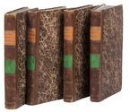
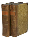
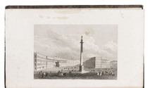
Groningen, W. van Boekeren, 1840. 2 volumes. 8vo. With a lithographed frontispiece of the "Alexander column" in Saint Petersburg in volume 1. Contemporary marbled boards. [6], XIV, 302; [4], VI, [2], 363 pp. Full description
€ 1,500
Groningen, W. van Boekeren, 1840. 2 volumes. 8vo. With a lithographed frontispiece of the "Alexander column" in Saint Petersburg in volume 1. Contemporary marbled boards. [6], XIV, 302; [4], VI, [2], 363 pp. Full description