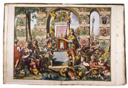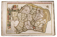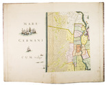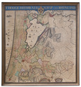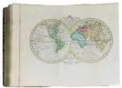

First edition of an account of The Hague, with 2 frontispieces and 9 plates
CRETSER, Gysbert de and Constantijn HUYGENS.
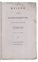
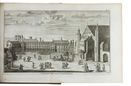
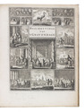
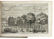
Beschryvinge van 's Gravenhage, behelsende desselfs eerste opkomste, stichtinge en vermakelyke situatie, het Graven-hof aldaar gebouwt ... Mitsgaders de oude coustumen ... Waar achter bygevoegt is de Zeestraat op Scheveninge door de Heer van Zuylichem [= Constantijn Huygens].
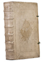
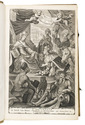
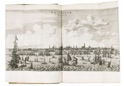
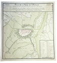
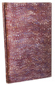
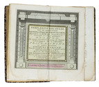
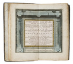
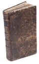
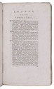
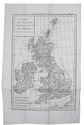
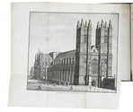
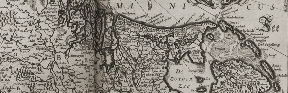
Amsterdam, Jan ten Hoorn, 1711. 3 part in 1 volume. 4to. With 2 engraved frontispieces (by Jan Luyken and Jan van Lamsvelt] and 9 engraved plates (4 folding). Contemporary vellum. [16], 140, [8], 104, [8]; 56 pp. Full description
€ 1,250
Amsterdam, Jan ten Hoorn, 1711. 3 part in 1 volume. 4to. With 2 engraved frontispieces (by Jan Luyken and Jan van Lamsvelt] and 9 engraved plates (4 folding). Contemporary vellum. [16], 140, [8], 104, [8]; 56 pp. Full description