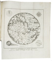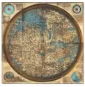

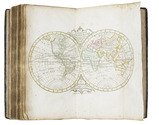
Pocket atlas of the Low Countries with the world and the continents,
coloured by a contemporary hand
ELWE, Jan Barend.
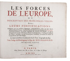
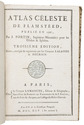
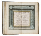
Compleete zak-atlas, van de zeventien Nederlandsche provinciën, begreepen in XXXI ... in 't koper gebragte kaarten.
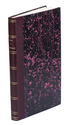
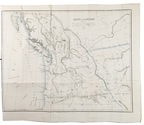
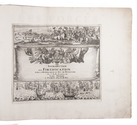
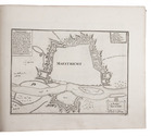
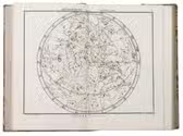
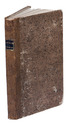
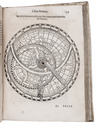
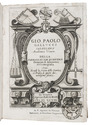
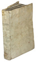
Amsterdam, Jan Barend Elwe and Dirk Meland Langeveld, 1786. 8vo. With double-page engraved title-page, 29 folding engraved maps and 2 folding engraved tables, all coloured by a contemporary hand. Contemporary half calf, rebacked with the original gold-tooled backstrip. 243, [1] pp. text Full description
€ 2,950
Amsterdam, Jan Barend Elwe and Dirk Meland Langeveld, 1786. 8vo. With double-page engraved title-page, 29 folding engraved maps and 2 folding engraved tables, all coloured by a contemporary hand. Contemporary half calf, rebacked with the original gold-tooled backstrip. 243, [1] pp. text Full description