
Rare Dutch translation of a work on Spanish America, with 4 maps
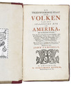
CAMPBELL, John.
De tegenwoordige staat der volken van het Spaansche ryk in Amerika, met een byzonder verhaal, van den koophandel uit Oud-Spanje, met de galjoenen, flota, &c.; en van den verboden handel der Hollanders, Engelschen, Franschen, Deenen en Portugezen, in de West-Indiën.
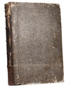
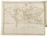
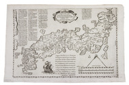
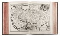
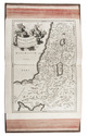
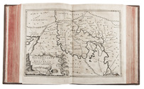
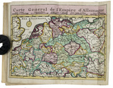
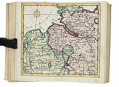
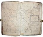
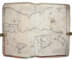
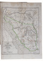
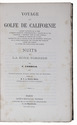
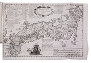
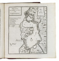
Amsterdam, Bernardus Mourik, [ca. 1745 or ca. 1748]. 8vo. With 4 folding engraved maps, showing the city and harbours of Veracruz, Havana, Portobelo and Cartagena. Contemporary red half sheepskin (roan). [8], 328 pp. Full description
€ 1,200
Amsterdam, Bernardus Mourik, [ca. 1745 or ca. 1748]. 8vo. With 4 folding engraved maps, showing the city and harbours of Veracruz, Havana, Portobelo and Cartagena. Contemporary red half sheepskin (roan). [8], 328 pp. Full description