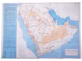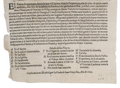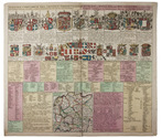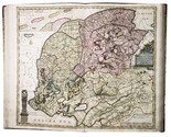

17th-century map of the Turkish Empire
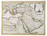
SANSON, Nicolas.
Estats de L'Empire du Grand Seigneur des Turqs ou Sultan des Ottomans en Asie, en Afrique, et en Europe.
Paris, 1654. Engraved map (42 x 56 cm), coloured in outline. Full description
€ 2,500
Paris, 1654. Engraved map (42 x 56 cm), coloured in outline. Full description