
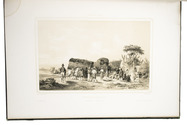
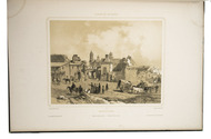
Beautiful album of 12 tinted lithographic views of Argentina and Uruguay
HASTREL, Adolphe d'.
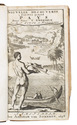
Album de la plata.
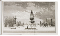
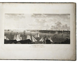
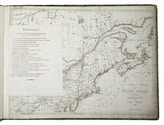
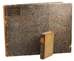
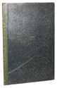
Paris, Gihau(l)t frères (printed by Auguste Bry, Lemercier and Thierry), [1846]. 1mo (55 x 38 cm). 12 tinted lithographs (22 x 35 cm), depicting views in and around Montevideo, Buenos Aires, etc. Mid-19th-century binding, rebacked in green morocco. 12 lithographed plates. Full description
€ 30,000
Paris, Gihau(l)t frères (printed by Auguste Bry, Lemercier and Thierry), [1846]. 1mo (55 x 38 cm). 12 tinted lithographs (22 x 35 cm), depicting views in and around Montevideo, Buenos Aires, etc. Mid-19th-century binding, rebacked in green morocco. 12 lithographed plates. Full description