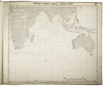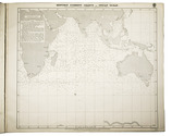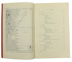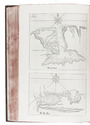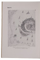

Influential guide to the East and West Indies, featuring 42 double-page and folding plates,
including 6 detailed maps.
LINSCHOTEN, Jan Huygen van.
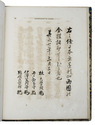
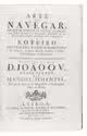
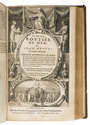
Histoire de la navigation... aux Indes Orientales. Contenant diverses descriptions des lieux jusques à present descouverts par les Portugais: observations de coustumes & singularitez de delà, & autres declarations. Deuxiesme edition augmentee.
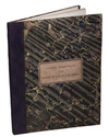
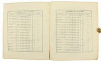
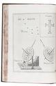
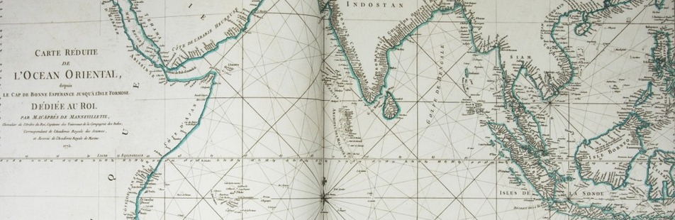
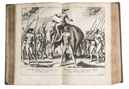
Amsterdam, Evert Cloppenburg, 1619. 3 works in 1 volume, the first in 2 parts. Folio (31 x 21 cm) With an engraved title page for each work, 42 engraved plates (31 double-page and 11 folding), including 6 maps, and a full-page portrait of the author within collation. Including: LINSCHOTEN, Jan Huyghen van. Le grand routier de mer, ...
[LINSCHOTEN, Jan Huygen van]. Description de lAmerique & des parties dicelle ...
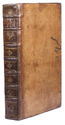
Near-contemporary gold-tooled calf. [1], [1 blank], [6], "205" [= 206]; [1], [1 blank], [2], 181, [1 blank]; [1], [1 blank], "86" [= 80]. Full description
€ 65,000
Amsterdam, Evert Cloppenburg, 1619. 3 works in 1 volume, the first in 2 parts. Folio (31 x 21 cm) With an engraved title page for each work, 42 engraved plates (31 double-page and 11 folding), including 6 maps, and a full-page portrait of the author within collation. Including: LINSCHOTEN, Jan Huyghen van. Le grand routier de mer, ...
[LINSCHOTEN, Jan Huygen van]. Description de lAmerique & des parties dicelle ...
Near-contemporary gold-tooled calf. [1], [1 blank], [6], "205" [= 206]; [1], [1 blank], [2], 181, [1 blank]; [1], [1 blank], "86" [= 80]. Full description