
Important contribution to the study of the Middle East
NIEBUHR, Carsten.
Voyage en Arabie & en d'autres pays circonvoisins. Tome premier[- second]. Traduit de l'Allemand.
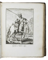
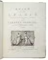
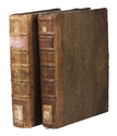
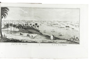
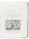
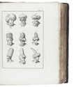
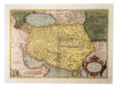
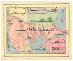
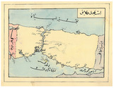
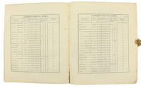
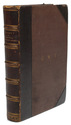
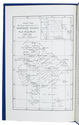
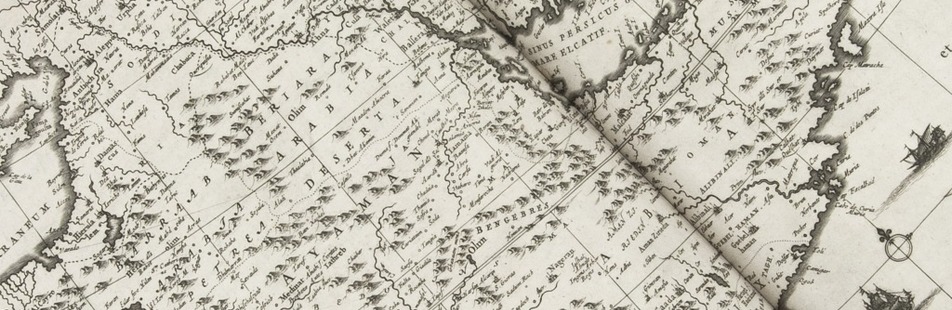
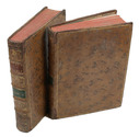
Amsterdam, Steven Jacobus Baalde; Utrecht, Barthelemy Wild (colophon: printed by Joh. Jos. Besseling, Utrecht, 1775), 1775-1780. 2 volumes. 4to. With 2 engraved integral title-pages, 124 engraved plates (many folding) and a folding map of Yemen (in partial colour). Contemporary gold-tooled calf. VIII, [6], 409, [1], [1 blank]; VI, [10], 389, [1] pp. Full description
€ 6,000
Amsterdam, Steven Jacobus Baalde; Utrecht, Barthelemy Wild (colophon: printed by Joh. Jos. Besseling, Utrecht, 1775), 1775-1780. 2 volumes. 4to. With 2 engraved integral title-pages, 124 engraved plates (many folding) and a folding map of Yemen (in partial colour). Contemporary gold-tooled calf. VIII, [6], 409, [1], [1 blank]; VI, [10], 389, [1] pp. Full description