
Attractive coloured views of the Pyrenees, including several panoramas
PETIT, Victor Jean-Baptiste.
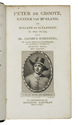
Bagneres de Luchon et ses environs.
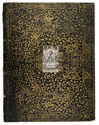
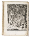
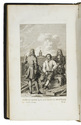
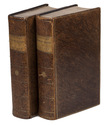
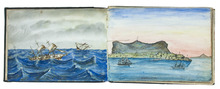
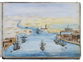
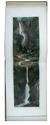
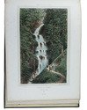
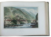
Paris, Charles Boivin; Pau, Auguste Bassy, [ca. 1850]. Oblong folio (26.5 x 37.5 cm). With a lithographed title-page with a hand-coloured vignette, and 29 numbered lithographed plates, all coloured by hand and some double-page (including 1 folding out vertically) or folding panoramas. All plates mounted on thick wove paper with letterpress captions. Contemporary gold- and blind-blocked dark green cloth, gilt edges. Full description
€ 1,250
Paris, Charles Boivin; Pau, Auguste Bassy, [ca. 1850]. Oblong folio (26.5 x 37.5 cm). With a lithographed title-page with a hand-coloured vignette, and 29 numbered lithographed plates, all coloured by hand and some double-page (including 1 folding out vertically) or folding panoramas. All plates mounted on thick wove paper with letterpress captions. Contemporary gold- and blind-blocked dark green cloth, gilt edges. Full description