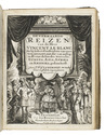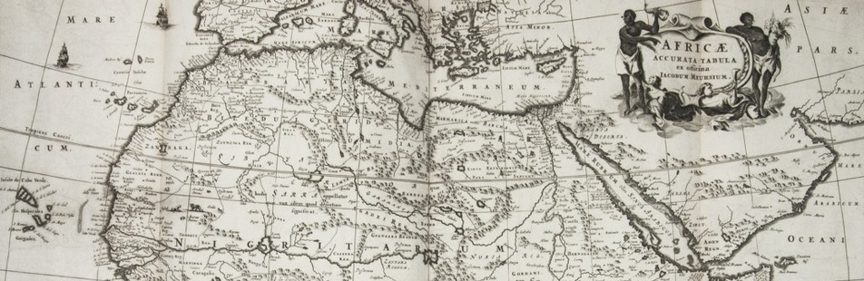

Della Valle's travels in the Near East, Persia and Arabia: "one of the finest works of travel literature" (Howgego)
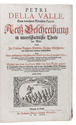
VALLE, Pietro della.
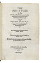
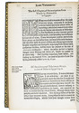
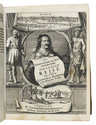
Reiss-Beschreibung in unterschiedliche Theile der Welt, nemlich in Türckey, Egypten, Palestina, Persien, Ost-Indien, und andere weit entlegene Landschaften ...
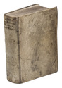
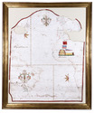
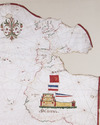
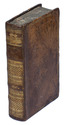
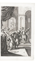
Geneva, Johann Hermann Widerholds, 1674. 4 volumes bound as 1. Folio. With 31 engraved plates (1 folding), including frontispiece and portraits of the author and his wife, by Jean Jacques Thourneyser. Contemporary vellum. [20], 218, [12], [2 blank]; [4], 236, [12]; [4], 244, [13], [1 blank]; [6], 231, [17] pp. Full description
€ 15,000
Geneva, Johann Hermann Widerholds, 1674. 4 volumes bound as 1. Folio. With 31 engraved plates (1 folding), including frontispiece and portraits of the author and his wife, by Jean Jacques Thourneyser. Contemporary vellum. [20], 218, [12], [2 blank]; [4], 236, [12]; [4], 244, [13], [1 blank]; [6], 231, [17] pp. Full description