
Dutch translation of Parry's account of his first Arctic expedition
PARRY, William Edward.
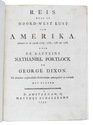
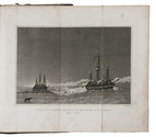
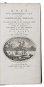
Reis ter ontdekking van eene noordwestelijke doorvaart, uit de Atlantische in de Stille Zee, gedaan in de jaren 1819 en 1820 door de schepen The Hecla en The Griper...
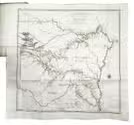
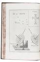
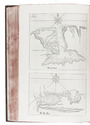
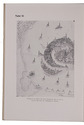
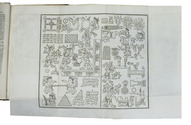
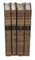
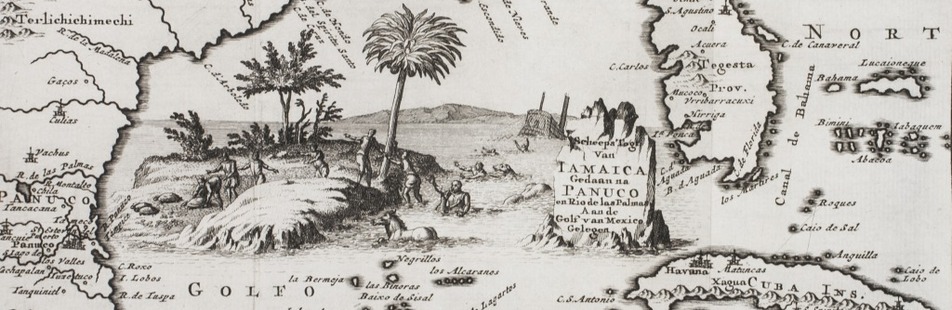
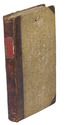
Amsterdam, Johannes van der Hey, 1822. 8vo. With engraved title-page, 1 large folding map and 3 plates (2 folding). Contemporary half calf. XII, 333, [2], [1 blank] pp. Full description
€ 1,250
Amsterdam, Johannes van der Hey, 1822. 8vo. With engraved title-page, 1 large folding map and 3 plates (2 folding). Contemporary half calf. XII, 333, [2], [1 blank] pp. Full description