
The British navy's pilot guide for crossing the South Indian Ocean
[GREAT BRITAIN, HYDROGRAPHIC DEPARTMENT].
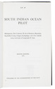
South Indian Ocean pilot. Madagascar, Îles Comores, Île de la Réunion, Mauritius, Seychelles Group, Chagos Archipelago, and other islands lying westward of Longitude 80° East. Eighth edition.
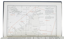
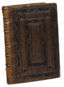
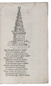
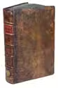
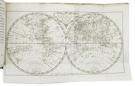
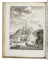
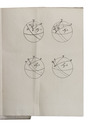
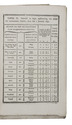
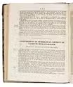
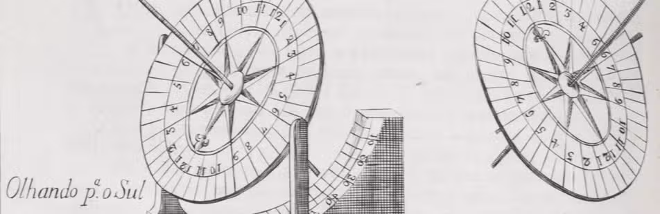
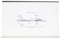
Taunton, published by the hydrographer of the navy, 1971. With supplement no. 5 (1977). 8vo. With 2 small maps, 8 coastal profiles, 9 diagrams and 11 climatic tables in the book and also 1 view of the coast of Marie Louise Islet (1975) in the supplement.Contemporary blue cloth with printed title in yellow. XI, [1 blank], 333, [1]; 40 pp. Full description
€ 600
Taunton, published by the hydrographer of the navy, 1971. With supplement no. 5 (1977). 8vo. With 2 small maps, 8 coastal profiles, 9 diagrams and 11 climatic tables in the book and also 1 view of the coast of Marie Louise Islet (1975) in the supplement.Contemporary blue cloth with printed title in yellow. XI, [1 blank], 333, [1]; 40 pp. Full description