
First edition of a richly illustrated work on the Americas, with numerous large maps and views.
MONTANUS, Arnoldus.
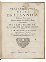
De nieuwe en onbekende weereld: of beschryving van America en t Zuid-Land, vervaetende doorsprong der Americaenen en Zuidlanders, gedenkwaerdige togten derwaerds,...
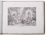
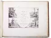
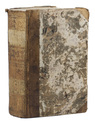
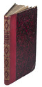
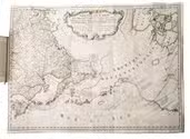
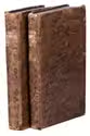
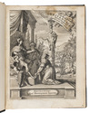
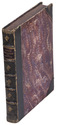
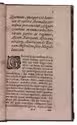
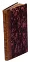
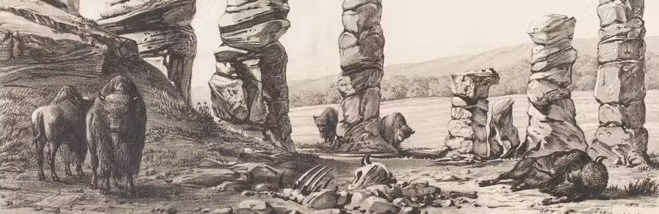
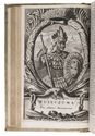
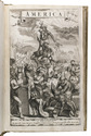
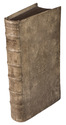
Amsterdam, Jacob Meurs, 1671. Folio. With a richly engraved allegorical frontispiece, 16 double-page engraved maps, including a large folding general map, 6 full-page engraved portraits, 32 double-page engraved views, including 2 large folding views of New Mexico and Mauritius, and 70 almost half-page engraved maps, views, and illustrations in the text. The title page is printed in red and black and contains Meurs' large engraved device. Additionally, with a large, engraved headpiece showing Joann Maurits van Nassau's coat of arms on the first dedication leaf and with numerous woodcut decorated initials (at least 2 series). Contemporary blind-tooled vellum binding. [12], 585, [29] pp. Full description
€ 28,000
Amsterdam, Jacob Meurs, 1671. Folio. With a richly engraved allegorical frontispiece, 16 double-page engraved maps, including a large folding general map, 6 full-page engraved portraits, 32 double-page engraved views, including 2 large folding views of New Mexico and Mauritius, and 70 almost half-page engraved maps, views, and illustrations in the text. The title page is printed in red and black and contains Meurs' large engraved device. Additionally, with a large, engraved headpiece showing Joann Maurits van Nassau's coat of arms on the first dedication leaf and with numerous woodcut decorated initials (at least 2 series). Contemporary blind-tooled vellum binding. [12], 585, [29] pp. Full description