
Detailed observations of life in the Ottoman Empire, Egypt and elsewhere in the Levant and Middle East ca. 1610
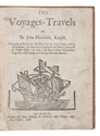
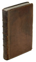
LITHGOW, William.
Nineteen years travels through the most eminent places in the habitable world.
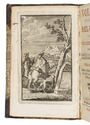
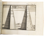
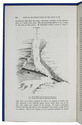
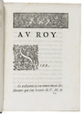
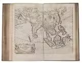
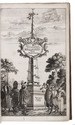
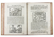
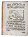
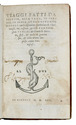
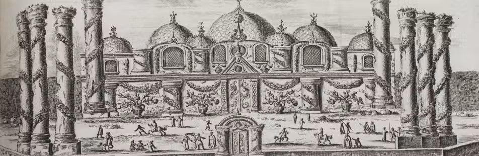
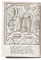
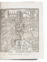
London, for John Wright & Thomas Passinger, 1682. 8vo. With a folding woodcut frontispiece and 6 folding woodcut plates and 1 woodcut in the text. 19th-century dark brown sheepskin, sewn on 3 recessed cords, brown spine label, Stormont on shell marbled endpapers. [8], 481, [7] pp. Full description
€ 3,500
London, for John Wright & Thomas Passinger, 1682. 8vo. With a folding woodcut frontispiece and 6 folding woodcut plates and 1 woodcut in the text. 19th-century dark brown sheepskin, sewn on 3 recessed cords, brown spine label, Stormont on shell marbled endpapers. [8], 481, [7] pp. Full description