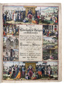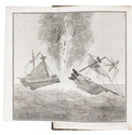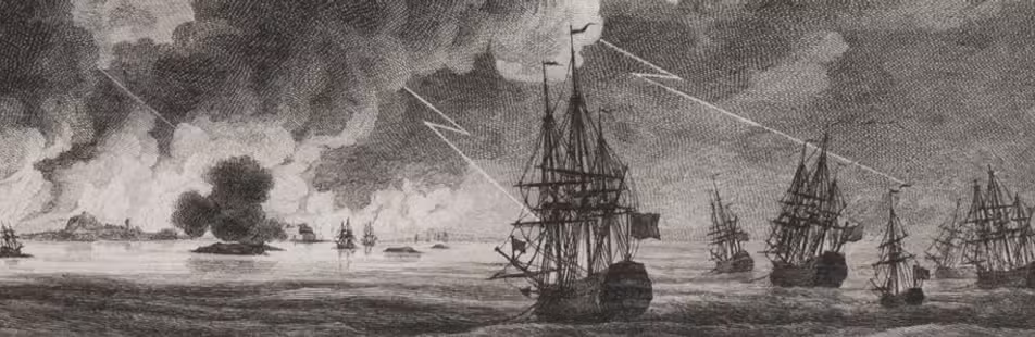

European history of the years 1620-1625, including the founding of the Dutch West India Company
MEERBEECK, Adriaen van.
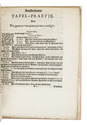
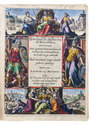
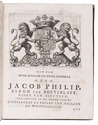
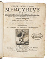
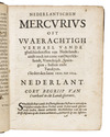
Neder-landtschen Mercurius oft waerachtich verhael vande geschiedenissen van Nederlandt, ende oock van Duytschlandt, Spaengien, Italien, Vrankrijck ende Turckijen. Sedert den iare 1620. tot 1625.
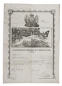
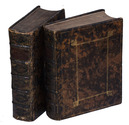
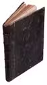
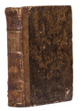
Brussel, Ian van Meerbeeck, 1625. 3 parts in 1 volume. 4to. With an engraved vignette on the title page. 19th-century quarter brown calf, with a brown paper title label on the spine, lettered in gold, marbled paper sides. [8], 156; [4], 192; [4], 40, 18, 73, [1 blank], 8, [16] pp. Full description
€ 3,500
Brussel, Ian van Meerbeeck, 1625. 3 parts in 1 volume. 4to. With an engraved vignette on the title page. 19th-century quarter brown calf, with a brown paper title label on the spine, lettered in gold, marbled paper sides. [8], 156; [4], 192; [4], 40, 18, 73, [1 blank], 8, [16] pp. Full description