
The complete series of Collaert's views around Brussels in its first state
COLLAERT, Hans I [after Hans BOL or Jacob GRIMMER?].
[Views in the vicinity of Brussels].
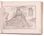
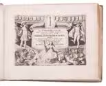
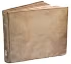
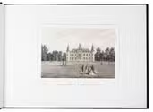
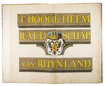
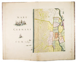
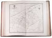
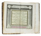
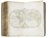
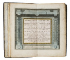
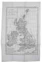
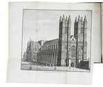
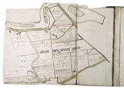
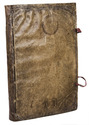
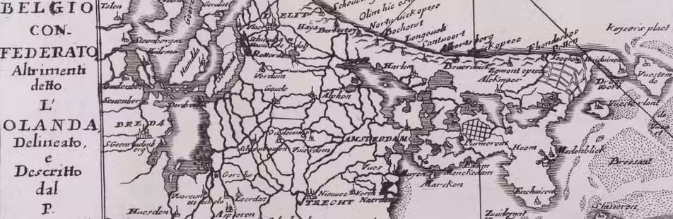
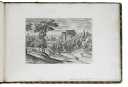
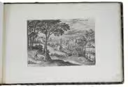
[Antwerp], Hans van Luyck, [ca. 1575/80]. Oblong folio album (24.5 x 35.5 cm). Series of 24 engravings (plate size ca. 20 x 14 cm) with views of landscapes around Brussels, by Hans I Collaert possibly after Hans Bol or Jacob Grimmer, each with a caption in the plate (plates 8 and 20 also with Van Luyck and Collaert's monograms "H.V.L.EX[cudit]" and "H.C.F[ecit]"). Trimmed down to the plate edge and mounted on album leaves, numbered in pencil on the album leaves, next to the engravings. Modern red half cloth, marbled sides. [24] ll. Full description
€ 15,000
[Antwerp], Hans van Luyck, [ca. 1575/80]. Oblong folio album (24.5 x 35.5 cm). Series of 24 engravings (plate size ca. 20 x 14 cm) with views of landscapes around Brussels, by Hans I Collaert possibly after Hans Bol or Jacob Grimmer, each with a caption in the plate (plates 8 and 20 also with Van Luyck and Collaert's monograms "H.V.L.EX[cudit]" and "H.C.F[ecit]"). Trimmed down to the plate edge and mounted on album leaves, numbered in pencil on the album leaves, next to the engravings. Modern red half cloth, marbled sides. [24] ll. Full description