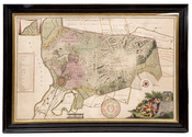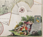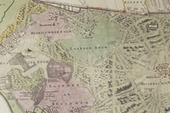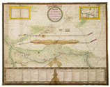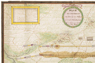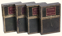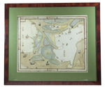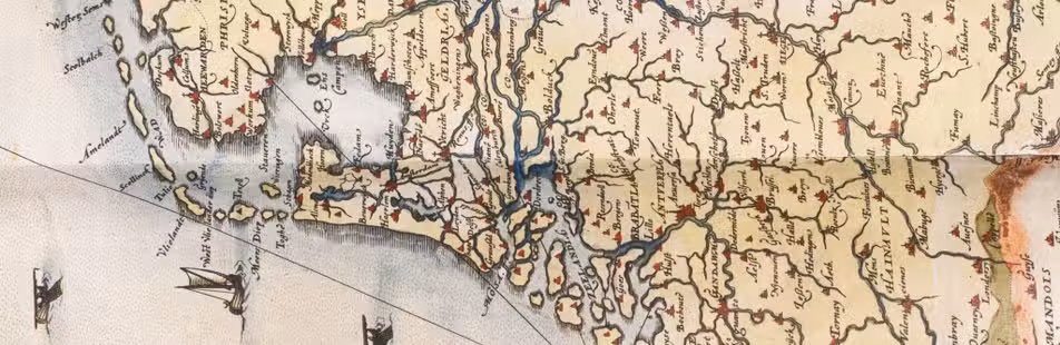

The castles of Utrecht
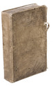
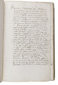
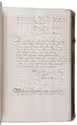
[MANUSCRIPT - UTRECHT].
Vrij en ridder hofsteden.
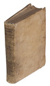
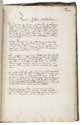
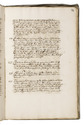
[Utrecht? ca. 1650]. Folio. Manuscript on paper, written in brown ink in a legible hand. Contemporary vellum, sewn on 5 supports laced through the joints. 72 ll. Full description
€ 2,750
[Utrecht? ca. 1650]. Folio. Manuscript on paper, written in brown ink in a legible hand. Contemporary vellum, sewn on 5 supports laced through the joints. 72 ll. Full description