
The Dutch West India Company (WIC) in the Americas,
a contemporary description by one of the company's directors

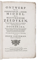
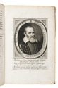
LAET, Johannes de.
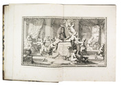
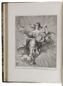
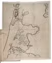
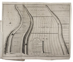
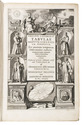
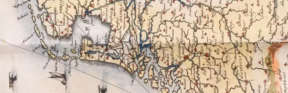
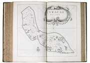
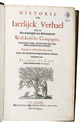
Historie ofte iaerlijck verhael van de verrichtinghen der geoctroyeerde West-Indische Compagnie, zedert haer begin tot het eynde van 't jaer sesthien-hondert ses-en-dertich. Begrepen in dertien boecken, ende met verscheyden koperen platen verciert.
Including:
IDEM. Kort verhael uyt de voorgaende boecken ghetrocken vande diensten ende nuttigheden die desen staet heeft genooten by de West-Indische Compagnie; ende schaden die deselve den koningh van Spagnien heeft ghedaen sedert haer begin tot het eynde van den jaere 1636.
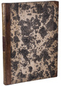
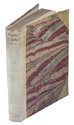
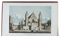
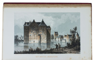
Leiden, Bonaventura and Abraham Elzevier, 1644. Folio. With the title printed in red and black, with the Elzevier woodcut device, and 13 double-page engraved maps and views. Contemporary sprinkled calf, gold-tooled spine with a black morocco title-label lettered in gold, red sprinkled edges, gold-tooled board edges. [32], 544, 31, [1 blank], [11], [1 blank] pp. Full description
€ 48,000
Including:
IDEM. Kort verhael uyt de voorgaende boecken ghetrocken vande diensten ende nuttigheden die desen staet heeft genooten by de West-Indische Compagnie; ende schaden die deselve den koningh van Spagnien heeft ghedaen sedert haer begin tot het eynde van den jaere 1636.
Leiden, Bonaventura and Abraham Elzevier, 1644. Folio. With the title printed in red and black, with the Elzevier woodcut device, and 13 double-page engraved maps and views. Contemporary sprinkled calf, gold-tooled spine with a black morocco title-label lettered in gold, red sprinkled edges, gold-tooled board edges. [32], 544, 31, [1 blank], [11], [1 blank] pp. Full description