
Tea and its cultivation in Asam and Ceylon investigated: presentation copy, with 22 original albumen prints
[CEYLON - TEA]. NETSCHER, H.J.Th., and Alexander Albert HOLLE.
Verslag eener reis naar de thee-districten van Britsch-Indie en Ceylon ondernomen door de heeren H.J.Th. Netscher en A.A. Holle in opdracht van de Cultuur Maatschappij Parakan-Salak.
Including: Harold Hart MANN. Het ferment in het theeblad en zijne verhouding tot de hoedanigheid der thee.
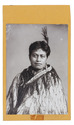
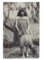
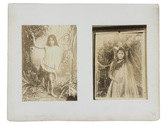
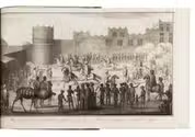
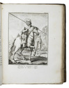
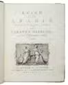
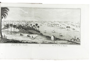
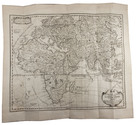
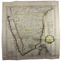
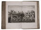
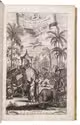
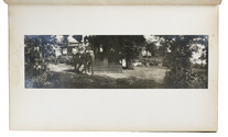
Batavia, G. Kolff & Co., 1903. 2 works in 1 volume. Folio. With 1 engraved double-page plate, 4 lithographed colour-plates and 22 albumen photographs with guard leaves containing text. Contemporary brown cloth, title in gold, decorated endpapers. [2], 93, [1] pp. Full description
€ 4,850
Including: Harold Hart MANN. Het ferment in het theeblad en zijne verhouding tot de hoedanigheid der thee.
Batavia, G. Kolff & Co., 1903. 2 works in 1 volume. Folio. With 1 engraved double-page plate, 4 lithographed colour-plates and 22 albumen photographs with guard leaves containing text. Contemporary brown cloth, title in gold, decorated endpapers. [2], 93, [1] pp. Full description