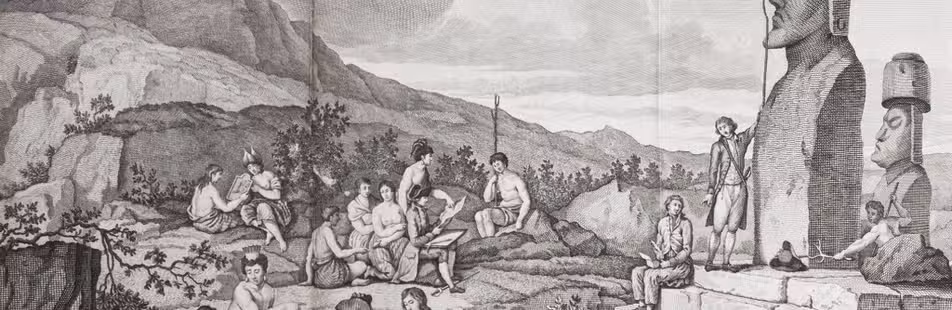

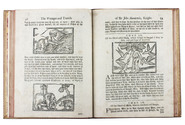
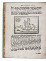
14th-century tales of travels in Turkey, the Middle East, Near East, India and the East Indies,
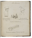
illustrated with about 60 woodblocks
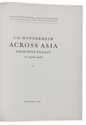
MANDEVILLE, John [= Jehan d'OUTREMEUSE].
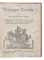
The voyages & travels of Sir John Mandevile, Knight, ... to the Holy Land, and to Hierusalem: as also to the lands of the Great Caan, and of Prestor John: to Inde, and divers other countries: ...
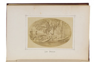
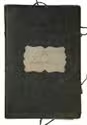
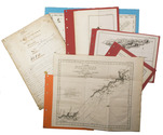
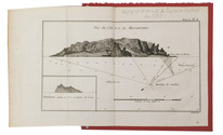
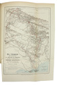
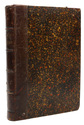
London, Richard Chiswell, Benjamin Walford, Matthew Wotton, George Conyers, 1696. 4to. With a woodcut ship on the title-page and about 60 woodcut illustrations in the text (mostly about 5.5 x 8 cm) plus about 10 repeats. Gold-tooled, red goatskin morocco by Robert Riviere in London (ca. 1875/80), one of England's best binders. [4], “139” [= 135], [5] pp. Full description
€ 22,500
London, Richard Chiswell, Benjamin Walford, Matthew Wotton, George Conyers, 1696. 4to. With a woodcut ship on the title-page and about 60 woodcut illustrations in the text (mostly about 5.5 x 8 cm) plus about 10 repeats. Gold-tooled, red goatskin morocco by Robert Riviere in London (ca. 1875/80), one of England's best binders. [4], “139” [= 135], [5] pp. Full description