
A Swiss jurist’s account of Algeria
LOCHER, Friedrich.
Nach den Oasen von Laghuat.
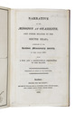
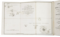
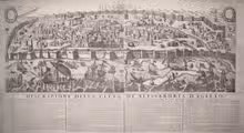
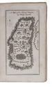
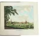
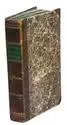
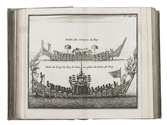
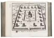
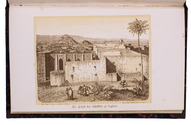
Bern, Haller, 1864. 8vo. With a tinted lithographed frontispiece showing the palace of the khalif in Laghouat and a folding lithographed map of the northern part of Algeria. Contemporary red half cloth. VIII, 208 pp. Full description
€ 800
Bern, Haller, 1864. 8vo. With a tinted lithographed frontispiece showing the palace of the khalif in Laghouat and a folding lithographed map of the northern part of Algeria. Contemporary red half cloth. VIII, 208 pp. Full description