
Rare heraldic game for young noblemen, improving and displaying their knowledge
of the genealogy, heraldry, geography and history of the main regions of Europe
KNOOP, Johann Hermann.
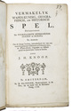
Vermakelyk wapen-kundig, geographisch, en historisch spel, betreffende de voornaamste heerschende staten in Europa. En dienende om de jonge lieden, inzonderheid die van een meer als gemeene geboorte of educatie zyn, de wapen-kunde, geographie en historie gelyk als speelender wyze te leeren.
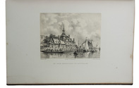
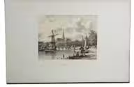
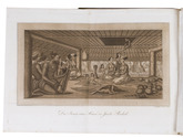
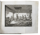
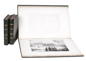
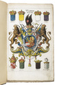
Amsterdam, David Klippink, 1768. 8vo. With a full-page engraved armorial plate with the coat-of-arms of the British chivalric Order of the Garter with their motto "Honi soit qui mal y pense" and small woodcut hearts, clubs, spades and diamonds in a card game in the text. 19th-century brown cloth, yellow endpapers. [24], 203, [5] pp. Full description
€ 1,250
Amsterdam, David Klippink, 1768. 8vo. With a full-page engraved armorial plate with the coat-of-arms of the British chivalric Order of the Garter with their motto "Honi soit qui mal y pense" and small woodcut hearts, clubs, spades and diamonds in a card game in the text. 19th-century brown cloth, yellow endpapers. [24], 203, [5] pp. Full description