
A monumental illustrated journey through Persia


D'ALLEMAGNE, Henri-René.
Du Khorassan au pays des Backhtiaris. Trois mois de voyage en Perse.
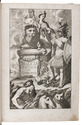
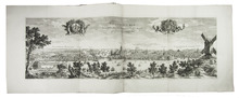
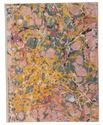
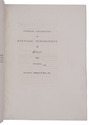
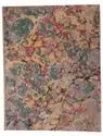
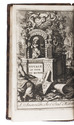
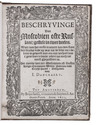
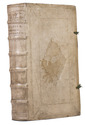
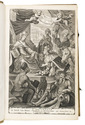
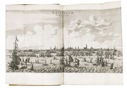
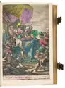
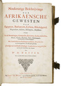
Paris, Hachette et compagnie, 1911. 4 volumes. 4to (ca. 32.5 x 25.7 cm). With approximately 960 photographic illustrations in the text and 255 full-page plates, including 47 in colour. Contemporary paper covers decorated with coloured symmetrical designs, featuring a central medallion and ornate borders, and utilising detailed geometric and arabesque floral motifs. The decorated spines bear the author, title, volume number, and printer, lettered in yellow on blue. All volumes are in their original brown sheer paper printers wrappers and are housed in brown paper publishers boxes with paper spine labels with the author, title, and volume number lettered. [6], VIII, 228; [4], 250, [1], [1 blank], [1], [1 blank]; [2], 271, [1]; [2], 322, [1] pp. Full description
€ 9,500
Paris, Hachette et compagnie, 1911. 4 volumes. 4to (ca. 32.5 x 25.7 cm). With approximately 960 photographic illustrations in the text and 255 full-page plates, including 47 in colour. Contemporary paper covers decorated with coloured symmetrical designs, featuring a central medallion and ornate borders, and utilising detailed geometric and arabesque floral motifs. The decorated spines bear the author, title, volume number, and printer, lettered in yellow on blue. All volumes are in their original brown sheer paper printers wrappers and are housed in brown paper publishers boxes with paper spine labels with the author, title, and volume number lettered. [6], VIII, 228; [4], 250, [1], [1 blank], [1], [1 blank]; [2], 271, [1]; [2], 322, [1] pp. Full description