Categories
Shopping cart (0 items € 0)
Advanced search ▾

Cartography, Exploration & Voyages / Atlases, Charts, Maps & Globes

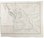
The division of Oregon Country between Britain and the United States of America
FÉDIX, P. A. L'Orégon et les côtes de l'Océan Pacifique du Nord, aperçu géographique, statistique et politique, avec une carte du pays d'après les documens les plus récens.
Paris, Librairie de Amyot (printed by Éd. Proux et Cie), 1846. 8vo. With a large folding map (40 x 52.5 cm) depicting what the United States called Oregon Country, dated 1846 and partly coloured in outline. Modern maroon half morocco. 258 pp. Full description
€ 9,500
Order Inquire Terms of sale

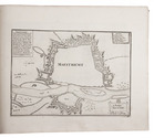
Europe fortified: the fortifications of Marolois, Stevin and Vauban, beautifully mapped,
together with an atlas of the coasts of France, also with fortifications

FER, Nicolas de. Les forces de l' Europe, ou description des principales villes; avec leurs fortifications. ... Premiere partie[-dixième partie].
Paris, "chez l'auteur" [= Nicolas de Fer, a false imprint], 1695-1696 [printed in Amsterdam, for Pieter Mortier, 1695-ca. 1702].
With: (2) FER, Nicolas de. Costes de France, sur l' ocean & sur la Mer Mediterranée &c. avec leurs fortifications. ... Tome I[-II].
Paris, "Nicolas de Fer" [a false imprint], 1695. [printed in Amsterdam, for Pieter Mortier]. 2 works in 12 parts or volumes, bound as 1. Oblong 1mo (30 x 37 cm). Ad 1 with 10 letterpress title pages in red and black for the 10 parts; 5 engraved titles for parts 1-5 (that for part 5 repeating that for part 2); plus 234 beautifully engraved plates (a few folding) with 366 maps and views of fortified cities. Ad 2 with an engraved title page, 2 letterpress title pages in red and black and 40 engraved plates (including 2 folding), labelled A-S in part 1 and T-Oo in part 2. Contemporary tanned sheepskin, sewn on 5 cords, gold-tooled spine with the title in the 2nd of 6 compartments. Full description
€ 17,500
Order Inquire Terms of sale

Accurately revised, corrected, and enlarged edition of Flamsteed's celestial atlas,
the first celestial atlas since Tycho Brahe and Hevelius

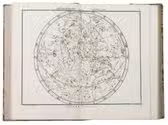
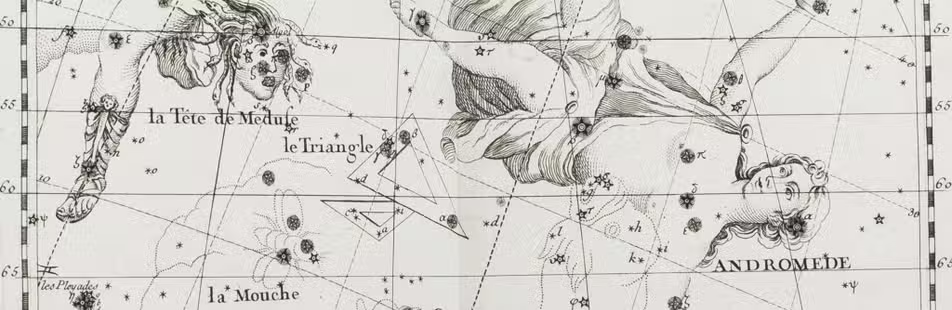
FLAMSTEED, John and Jean FORTIN (editor). Atlas céleste de Flamstéed ...
Paris, Le citoyen Lamarche, successeur de Robert de Vaugondy & J. Fortin, "L'an IIIe de la République Françoise" [= 1795]. Small 4to. With beautifully designed engraved maps of the celestial globe, including all astronomical constellations, on 30 double-page plates, versos blank, including 2 maps of the celestial hemispheres, and 2 maps of the celestial planisphere, one after a design by Abbé de La Caille with the plans of the southern constellations, all maps engraved by C. E. Voisard after Flamsteed, and the text written on the maps by Beaublé. With the title and text set within a simple woodcut frame. Contemporary half calf, black morocco title label lettered in gold on the spine, brown sprinkled paper sides, marbled edges. IX, [1] pp.; 30 double-page engraved plates; 47, [1 blank] pp. Full description
€ 5,000
Order Inquire Terms of sale

A Portuguese expedition to the Kingdom of Kazemba

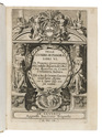
GAMITTO, Antonio Candido Pedroso. O Muata Cazembe e os povos Maraves, Cheva, Muiza, Muembas, Lundas e outros da Africa austral.
Lisbon, Imprensa Nacional, 1854. 8vo. With 22 hand-coloured lithographed plates, and a folding lithographed map (45 x 28 cm), hand-coloured in outline. Contemporary straight-grained, gold-tooled black sheepskin, gilt edges. XXV, [1 blank], 501, [1 blank], [2] pp. Full description
€ 9,000
Order Inquire Terms of sale

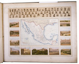
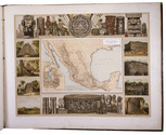
Mexico in the 1880s, with atlas volume including 13 chromolithographed maps and 1 general map of Mexico

GARCIA CUBAS, Antonio. Cuadro geográfico, estadístico, descriptivo é histórico de los estados unidos Mexicanos. Obra que sirve de texto al Atlas pintoresco.
Including: Atlas Pintoresco e Historico de los Estados Unidos Mexicanos.
México, Fomento & Debray, 1885. 2 volumes. 8vo and oblong large folio (64.5 x 82 cm). With 2 folding tables and 2 full-page plates in the text volume and in the atlas 13 chromolithographed maps (52 x 69 cm), and a full-page chromolithographed map of Mexico at the end. Contemporary black cloth with gold lettering on front board (text); contemporary red half morocco, title and ornaments in gold on spine (atlas). IV, 474, [3] pp. text. Full description
€ 11,000
Order Inquire Terms of sale

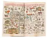
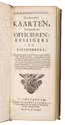
Rare charming pocket-atlas of the world, complete second edition with 6 more maps

[GEOGRAPHY]. Geografisch-toneel, of uitgezochte kaarten, tot gemak der officieren, reizzigers en liefhebbers; behelsende alle de generale kaarten van de waereld, met de bysondere, der plaatsen daar den oorlog in Europa gevoerd word, en de plans der forten … verrykt door de militaire bouwkunde, en door een korte manier om gemakkelyk de geographie te leeren en begrip van de waereldkloot te hebben.
Amsterdam, Heirs of J. Ratelband & Comp., 1735. Upright oblong 8vo (20 x 8.5 cm). With a woodcut ornament on the title-page, 1 folding plate and 40 folding numbered engraved maps (ca. 18 x 26.5-42 cm), many of them surrounded with coat-of-arms, city plans and views, all coloured by hand, of all parts of the world. The plate and maps are all folded 3 or even 4 times to the upright oblong format of the atlas. Contemporary calf. Hand-written list of plates on the first fly-leaf, listing only 38 of the 40 maps. 16 pp. Full description
€ 3,750
Order Inquire Terms of sale

A general in the Spanish army on the battles and sieges in Flanders 1601-1609,
during the Dutch war for independence, with 29 folding maps and plans

GIUSTINIANO, Pompeo. Delle guerre di Flandra libri VI. ... Posti in luce da Gioseppe Gamurini ...
Antwerp, J. Trognesio, 1609. 4to. With engraved architectural title-page and 29 folding engraved maps and plans of sieges and fortifications. White sheepskin (ca. 1700 or possibly later). [4], 329, [1 blank], [15], [3 blank] pp. Full description
€ 2,950
Order Inquire Terms of sale

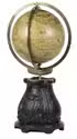
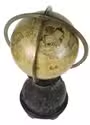
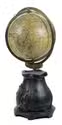
Rare Hondius globe dedicated to Archduke Albert and Archduchess Isabella of Austria,
with their arms on the globe and on the pedestal

[GLOBE - TERRESTRIAL]. HONDIUS, Jodocus. [Terrestrial globe].
Antwerp, Joan Baptist Vrients [produced by Jodocus Hondius in Amsterdam], "1601" [= ca. 1603?]. Diameter (21 cm). The globe is assembled from 12 engraved gores, mounted over a hollow wooden sphere, the gores hand-coloured in outline, some areas with full colour infill. Full description
€ 225,000
Order Inquire Terms of sale
173 books found / Show all