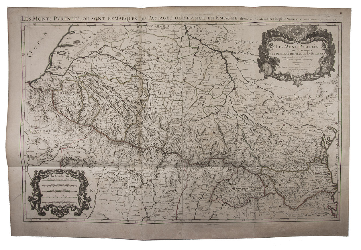
[MAP - PYRENEES]. SANSON, Nicolas.
Les Monts Pyrenées, ou sont remarqués les Passages de France en Espagne.
Paris, Hubert Jaillot, 1719. Engraved map on 2 assembled sheets (54.5 x 88 cm). With title in decorated cartouche (signed F.C.) in upper right corner and scalebars in decorated cartouche in the lower left corner. Coloured in outline.
€ 500
Large map of the Pyrenees, a mountain range on the border between France and Spain, after Nicolas Sanson (1600-1675). Apparently printed from the original plates, differing from the map issued in Mortier's "Jaillot-Atlas".
Very good copy, slightly browned. Pastoureau, Jail. II C map 166.
Related Subjects: