MAURY, William Lewis & Silas BENT.
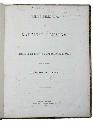
Sailing directions and nautical remarks; by officers of the late U.S. naval expedition to Japan, under the command of Commodore M.C. Perry.
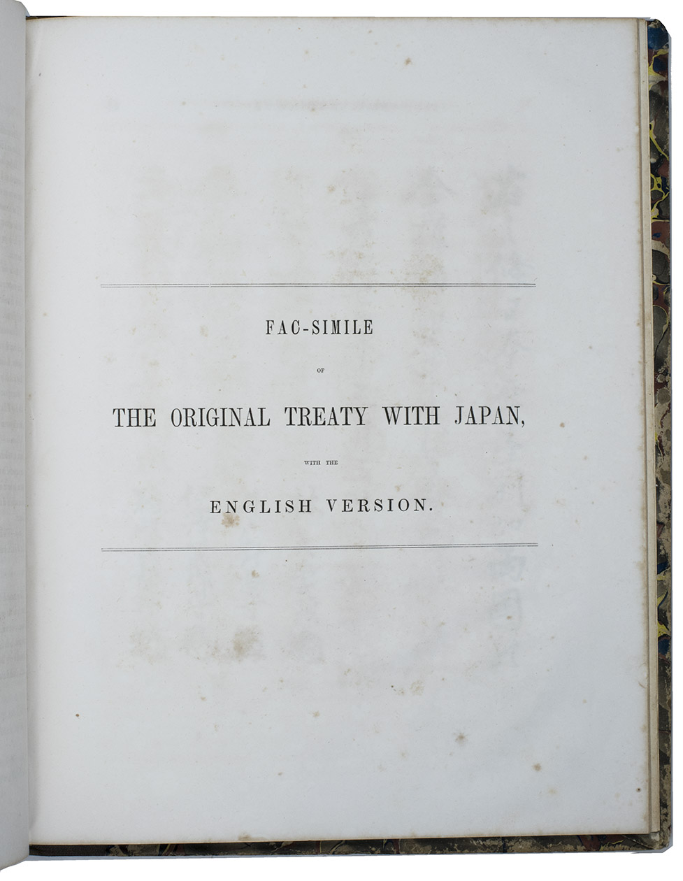
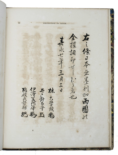
Including (with a divisional title): Fac-simile of the original treaty with Japan, with the English version.
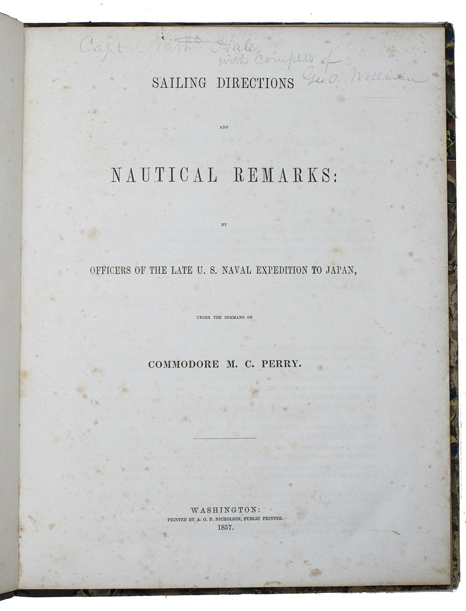
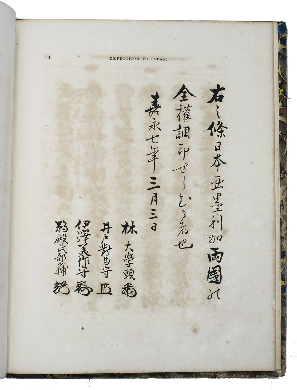
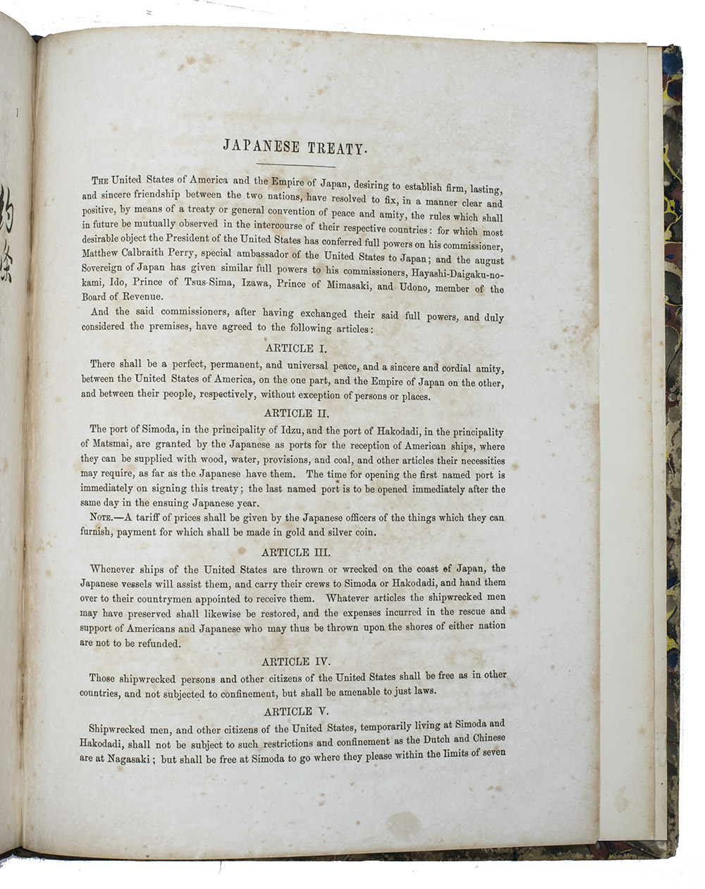
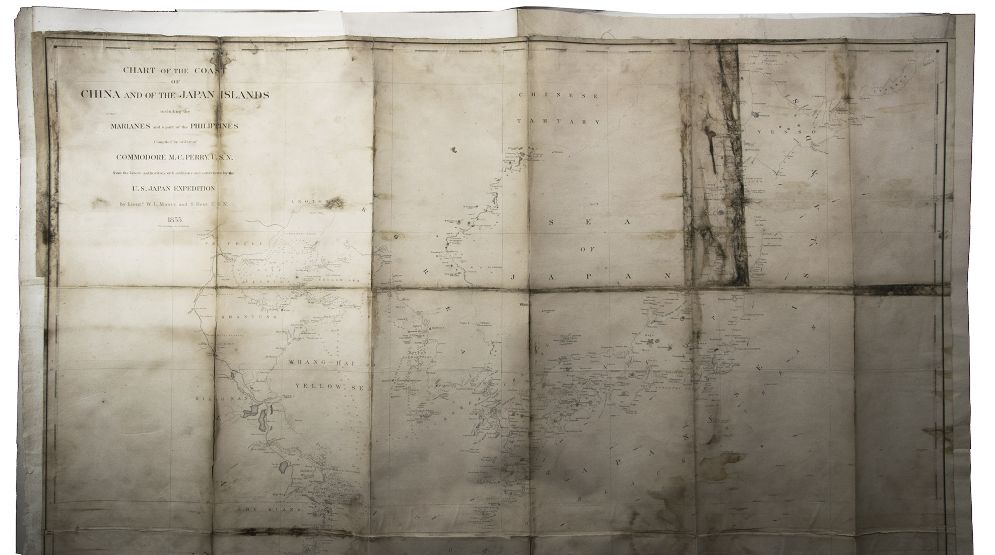
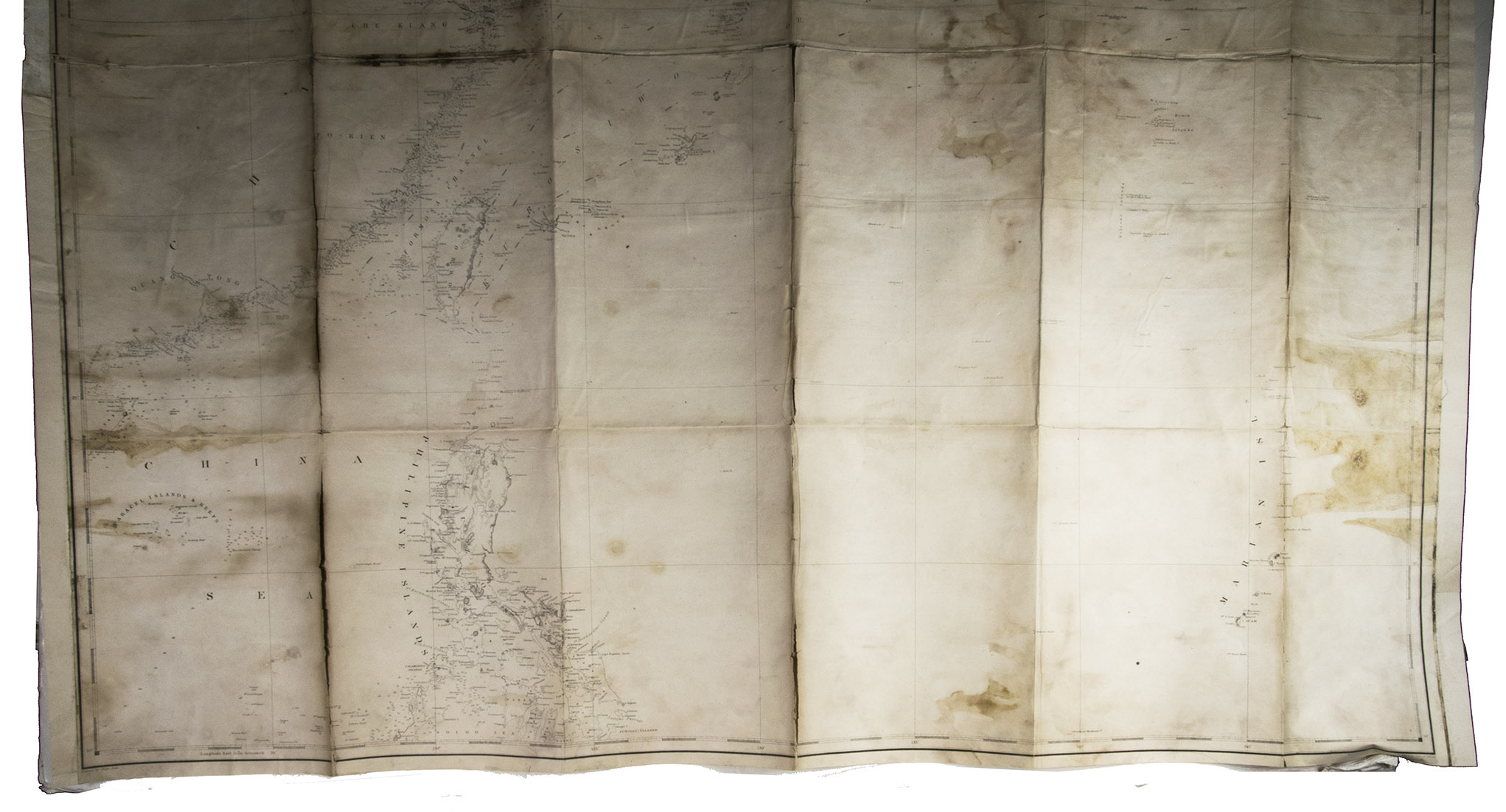
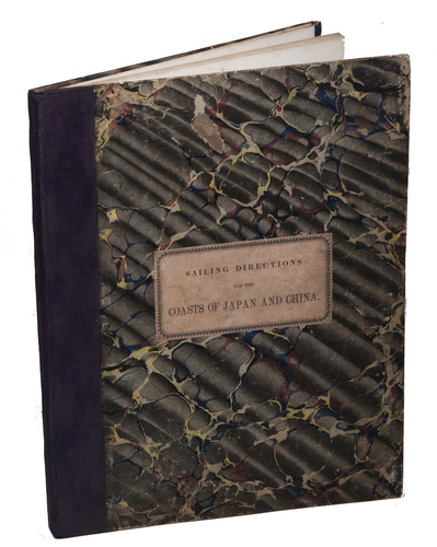
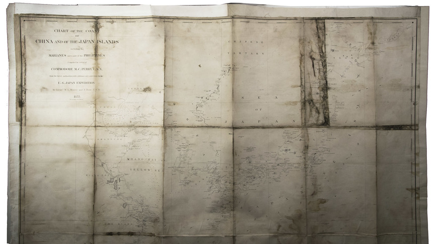
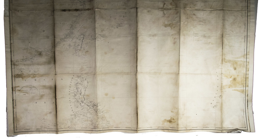
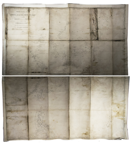
Washington, A.O.P. Nicholson, public printer, 1857. Large 4to (ca. 29.5 x 23 cm). With a large folding map of the coast of China and of the Japanese and other islands, including the Marianas and the Philippines; and the facsimile of the 14-page treaty in Japanese printed on both sides of 7 integral leaves, with the English text printed letterpress on both sides of the following leaf. Original publishers half purple cloth, Spanish-marbled paper sides (grey with red, blue, black, yellow and white veins), letterpress paper label with the title in a built-up decorative border on the front board: "Sailing directions for the coasts of Japan and China". 22, [2], 14, [2] pp.
€ 5,000
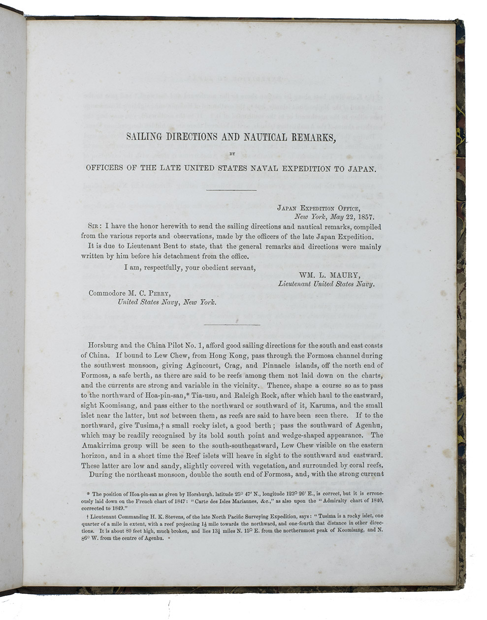
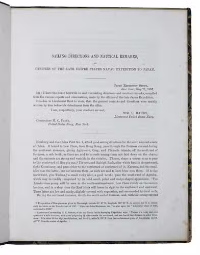
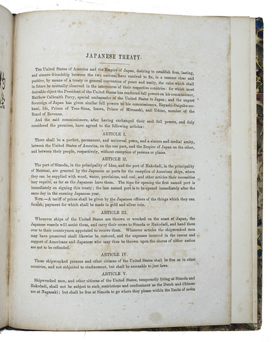
Rare first separately published edition of a report containing the results of a survey of Japanese waters, providing information and instructions to help mariners recognise landmarks and navigate around the coasts of China, Japan and the surrounding islands. The survey was conducted during a diplomatic and military expedition of the U.S. navy under the command of Commodore M.C. Perry (1794-1858). This expedition, also known as the Perry Expedition, took place in 1853/54. The U.S. president Millard Fillmore ordered Perry to sail to the Tokugawa Shogunate to establish more favourable diplomatic and trade relations with Japan (which restricted its contact with foreign powers) and surrounding nations and thus end the sakoku, Japan's isolationist foreign policy. Two of Perrys lieutenants wrote the report: William Lewis Maury (1813-1878) and Silas Bent (1820-1887). Bent served aboard Perry's flagship the "Mississippi", and a note at the beginning of the report (page 3) indicates that he wrote the majority of the general remarks and directions, which were then compiled by Maury. The treaty between Japan and the United States of America, attempting to establish peace, amity and a trade agreement between the two nations, follows the report, first the Japanese text in facsimile, then the English text, printed letterpress. Perry first published this short report for the benefit of mariners in the previous year at the end of volume II of the three-volume history of the expedition, written by F.L. Hawks, Narrative of the expedition of an American squadron to the China Seas and Japan (1856). They wrote it under the supervision of Perry himself, who funded the publication with the money he received as a reward from the U.S. government for his work in Japan.
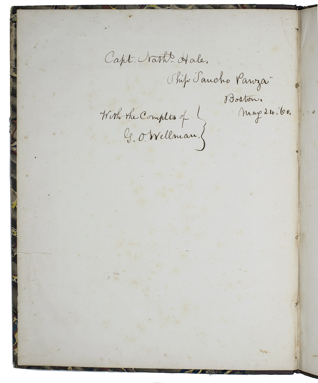
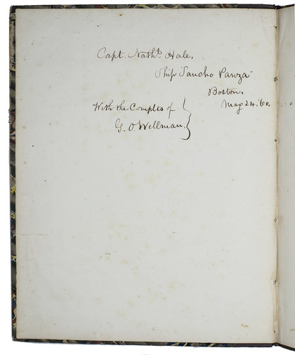
The binding is virtually identical to that of the Harvard copy, clearly as published. Owners inscription on the back of the first flyleaf in brown ink: "Capt. Nath. Hale, Ship 'Sancho Panza' Boston, May 24, '60. With the complts of G. O. Wellman." and at the top of the title-page in pencil "Capt. Nath. Hale with Complts of Ge. O. Wellman". Binding shows signs of wear around the corners, some foxing throughout, some browning on the pages of the treaty in Japanese. The folding map is a little stained. Otherwise in good condition. First edition of an important U.S. government source for U.S. relations with Japan, including the facsimile peace treaty. WorldCat 432980718 (1 copy); cf. Cordier Japonica 513; Sabin 30967 (both for the 1856 Narrative); about Silas Bent: Dictionary of American naval fighting ships, vol. 6, p. 505; The United States in Asia: a historical dictionary, p. 41.
Related Subjects: