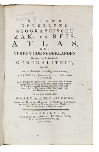
BACHIENE, Willem Albert.
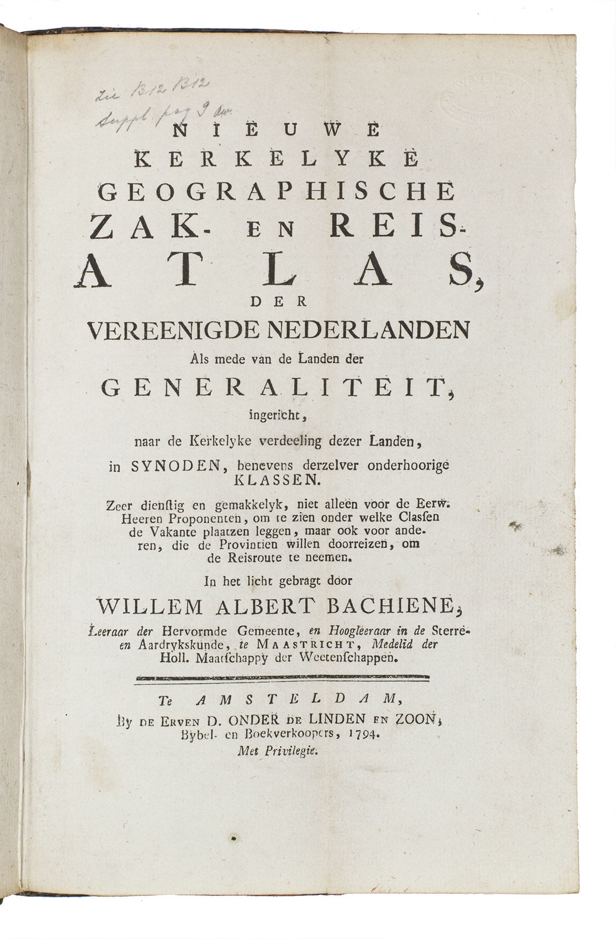
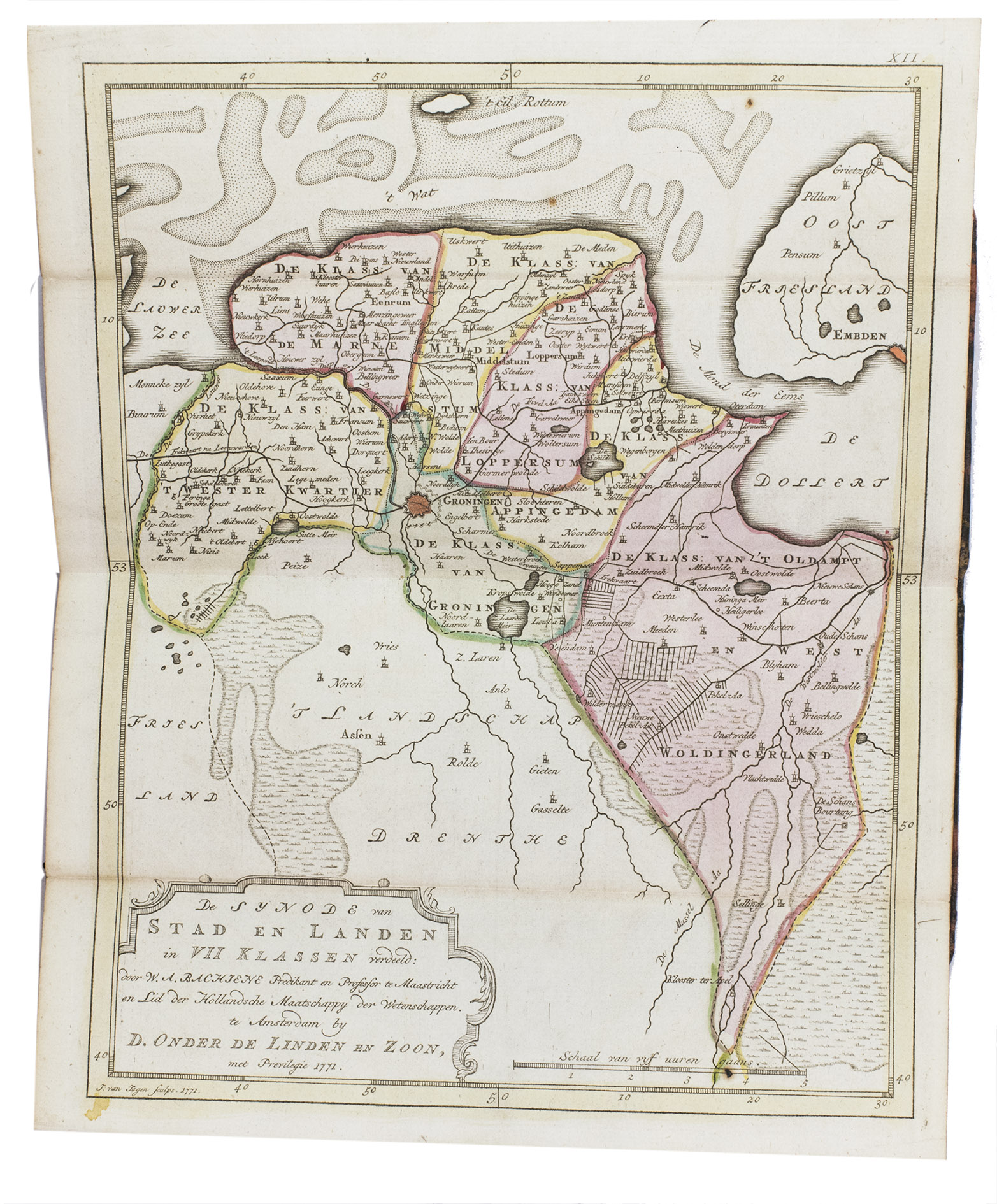
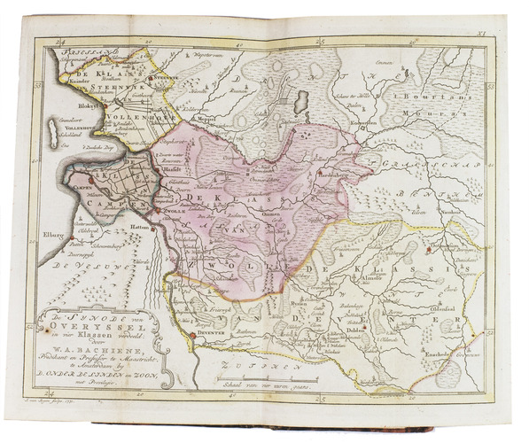
Nieuwe kerkelyke geografische zak- en reisatlas der vereenigde Nederlanden. Als mede van de landen der generaliteit, ingericht, naar de kerkelyke verdeeling dezer landen, in synoden, benevens derzelver onderhoorige klassen. Zeer dienstig en gemakkelyk, niet alleen voor de Eerw. heeren proponenten, om te zien onder welke classen de vakante plaatzen leggen, maar ook voor anderen, die de provintien willen doorreizen, om de reisroute te neemen.
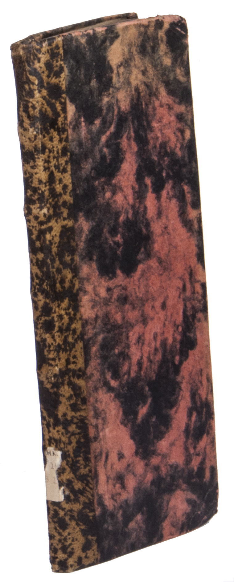
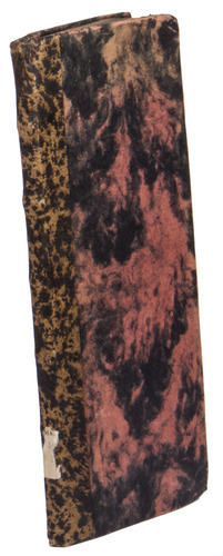
Amsterdam, De erven Dirk onder de Linden en zoon, 1794. Large, narrow 8vo. With a folding typographical title page and 13 folding double-page engraved maps by J. van Jagen, all coloured by a contemporary hand. The maps are mounted on stubs for ease of use (the maps fold out/open flat). Contemporary half tan mottled calf, red and black decorated paper sides, with remnants of a white paper label at the foot of the spine, and with two 20th-century library labels (of the "Verzameling Oudheidkamer Twente") on the back board. [14] folded leaves.
€ 2,500
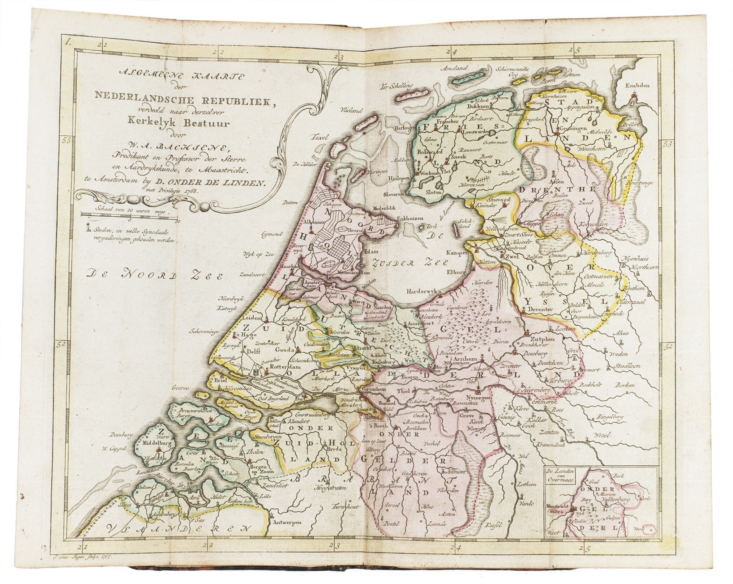
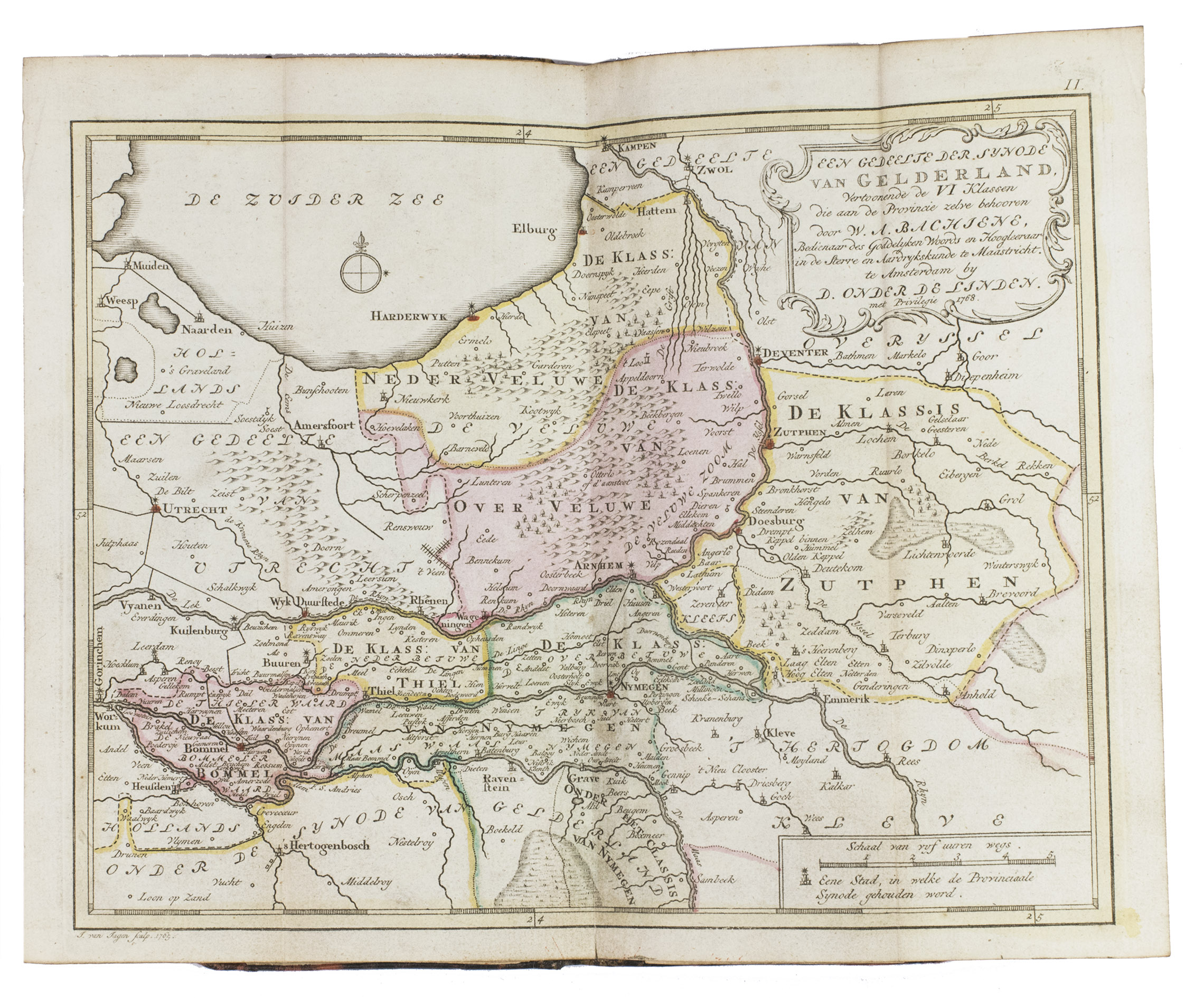
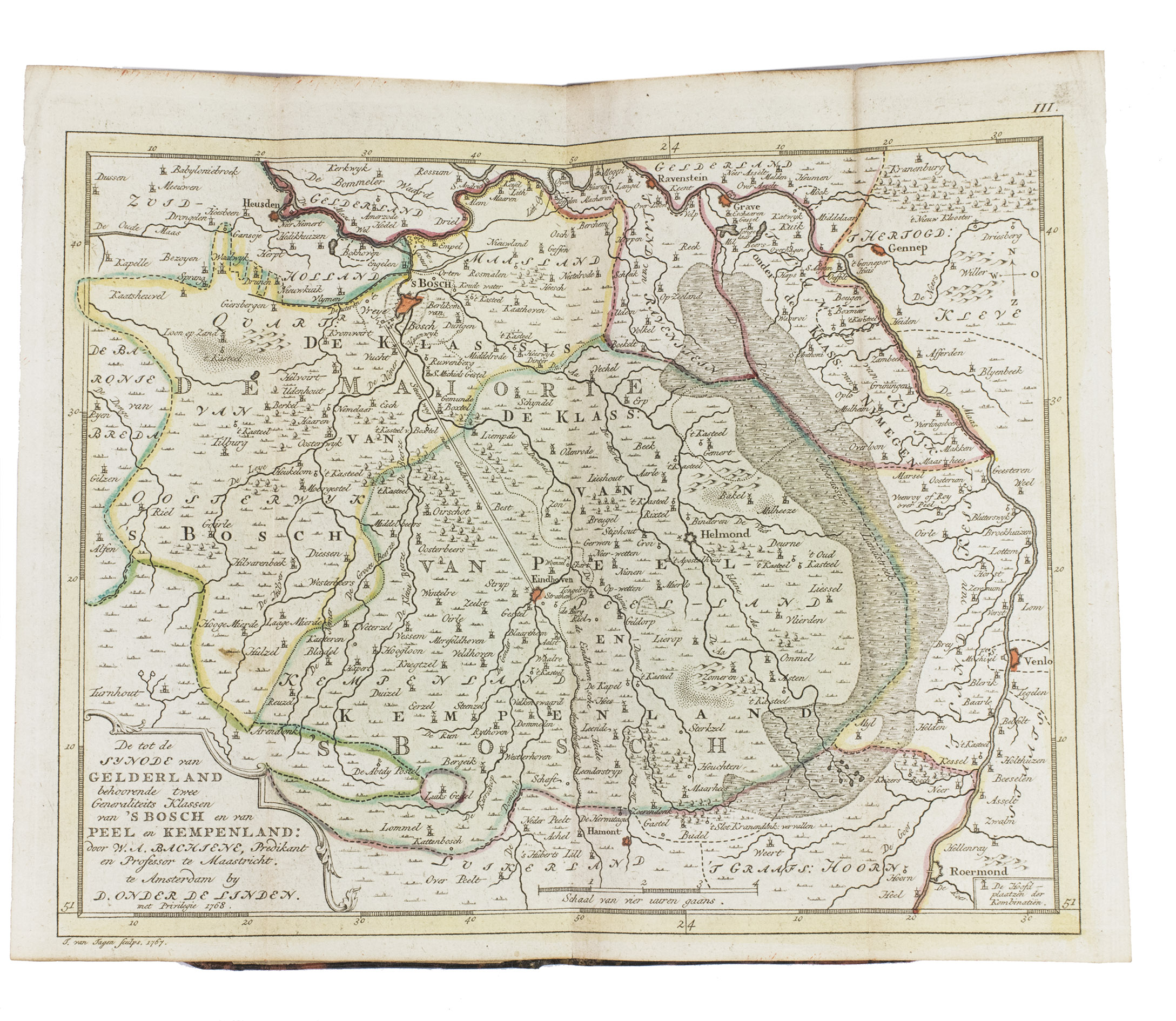
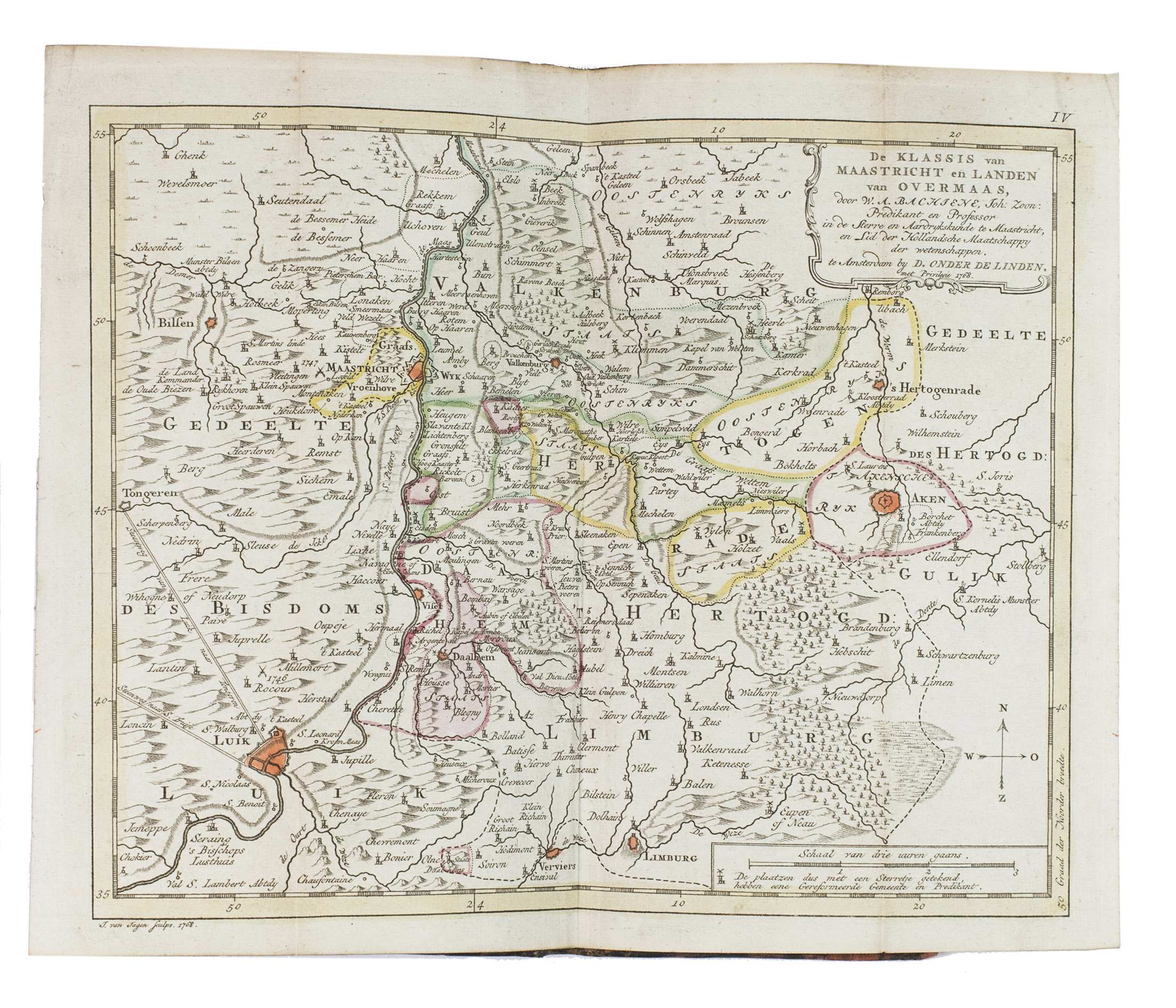
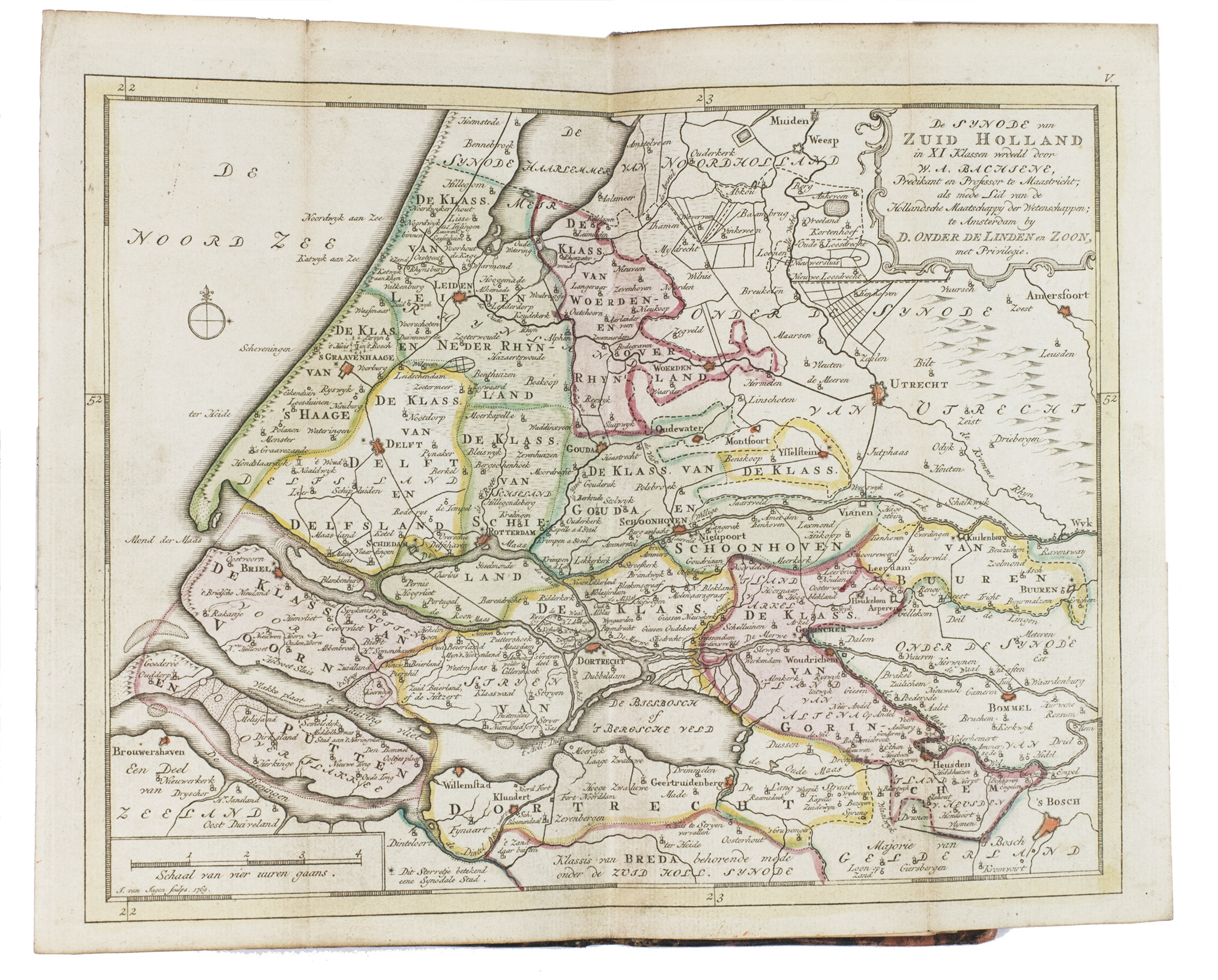
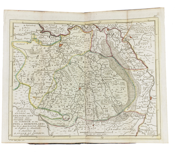
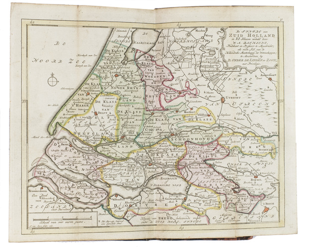
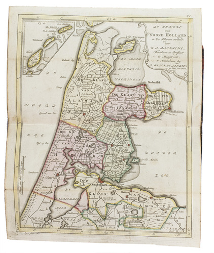
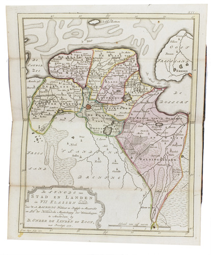
Very rare second edition of a detailed travel and/or pocket atlas, with a clear religious theme. The maps show the Dutch Republic of the mid-18th-century, engraved by Jan van Jagen (1709-1800) between 1765 and 1771, according to religious (or certain church) governance. It shows the different synods (or religious councils) within the Republic.
All maps are finely coloured by hand and rather detailed. Willem Albert Bachiene (1712-1783) graduated in Theology at the University of Utrecht in 1733 and served as a chaplain in the army, before he was appointed professor of astronomy and geography in Maastricht. He wrote multiple works, mostly related to and combining religion and geography.
The work was first published in 1780 in Amsterdam by Dirk onder de Linden and contained the same maps as present here in the second edition.
With the printed ex libris book plate of "A. Wevers Jr." mounted on the front pastedown and the black stamp of the "Oudheidskamer 'Twente' Enschede" on the recto of the first free flyleaf. Further with the blind-stamp of "A. Wevers Jr. Enschede" in the upper outer corner of the title page. The edges and corners of the boards are slightly bumped, internally very lightly dust soiled. Otherwise in very good condition. Sijmons (Atlasses ULA) 10; STCN 338002545 (1 copy); WorldCat 6578903 (3 copies); cf. (1780 ed.) Koeman I Bac 1; WorldCat 65782903 (6 copies).
Related Subjects: