[MAPS - IRAQ].
[Reconnaissance maps of Iraq].
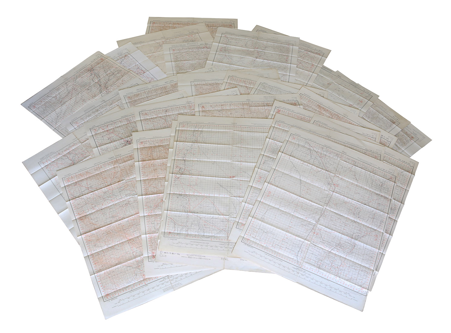
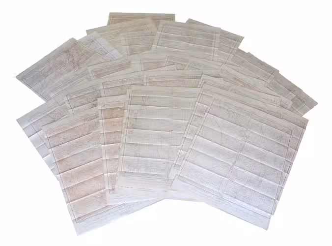
[UK Government], Survey Directorate HQ Tenth Army / Indian Field Survey Co., 1942 42 chromolithographed topographic maps of parts of Iraq, made from aerial photographs during World War II, on a scale of 1:100,000 and 1:253,440 (a quarter-inch to a mile). 68 x 50.5 cm & 60 x 47 cm.
€ 6,500
An impressive collection of Iraq maps compiled from the most current aerial photography and produced by the British Army for use in the Persian theatre of war during World War II. The cities and regions covered include Ain Sifni, Aqra, Tel Afar, Salman Pak, BaQuba, Sumaika, Penjwin, Halabja, Baghdad, Kirkuk, Dulaim, Erbil and Mosul divisions.
Previously folded. Generally well-preserved.
Related Subjects: