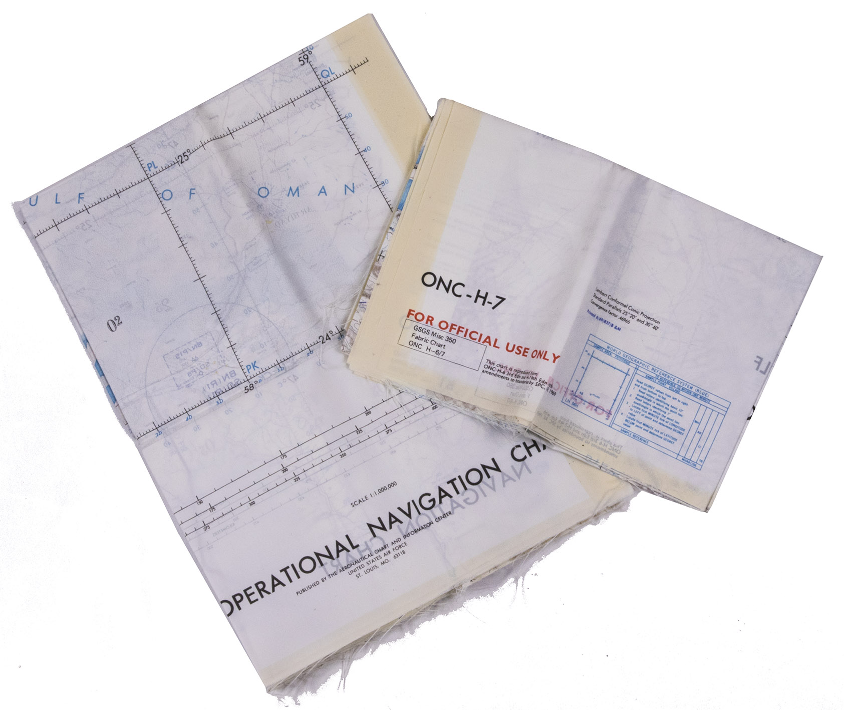
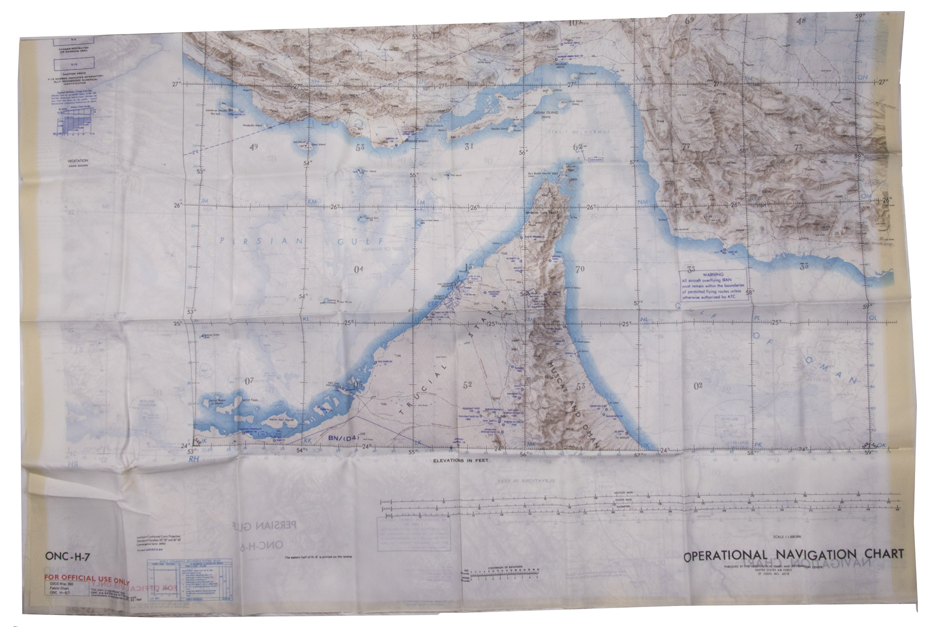
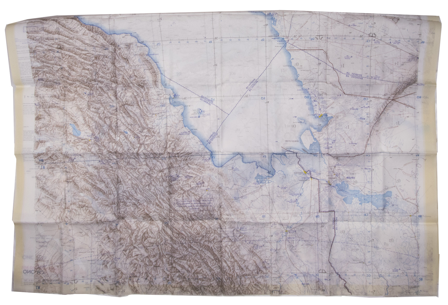
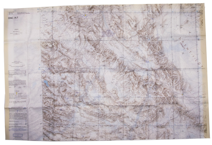
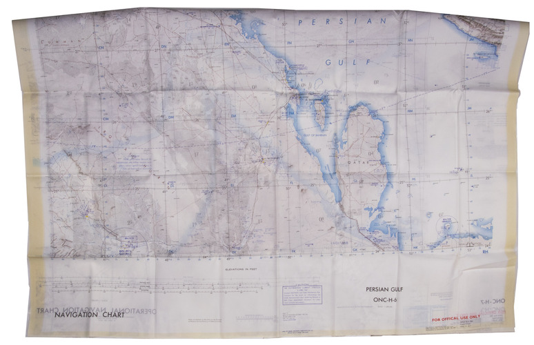
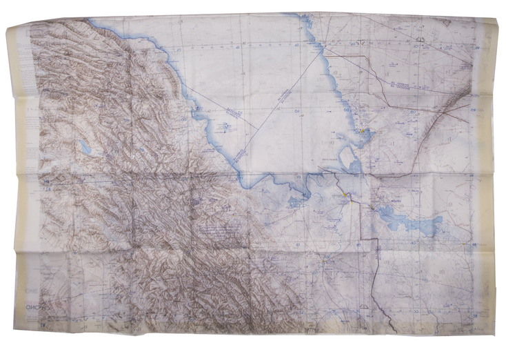
[MAP - ARABIAN GULF]. Aeronautical chart and information center.
Persian Gulf | ONC-H-6/7. Operational navigation chart.
St Louis, Aeronautical chart and information center, United States Air Force, 1969. Two copies of two folding maps colour printed on both sides of a sheet of silk (103 x 78.5 cm) on a scale of ca. 1:1,000,000. The two maps (ONC-H-6 & ONC-H-7) show one continuous area.
€ 2,800
Rayon pilot's map of the Arabian Gulf region focusing on the Trucial States (modern UAE), Qatar, Bahrain, Oman, Iran and Saudi Arabia, including main oil installations. Items of specific interest to aircraft, such as airfields and even seaplane bases, are particularly listed. Warnings to stay within the specific flying routes while in Iran are placed on multiple locations. While the map depicts a continuous area on both side on of one sheets, it actually consist of two maps, originally published separately. We here include two copies so the whole area can be displayed. The maps are reproduced after the third and fourth edition.
In very good condition.
Related Subjects: