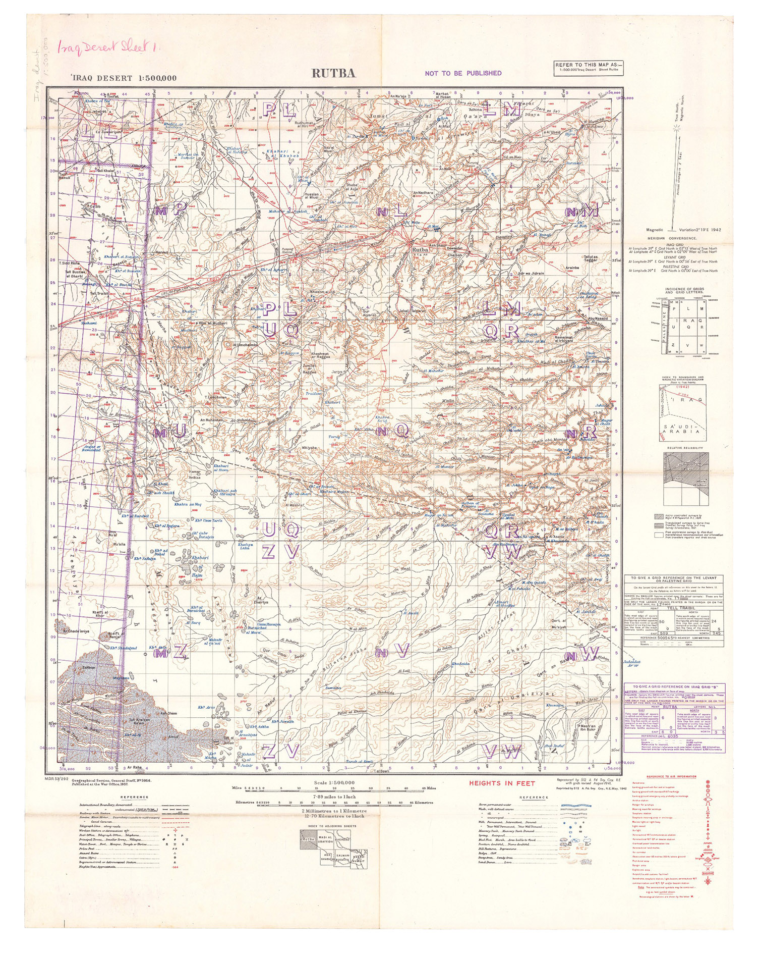
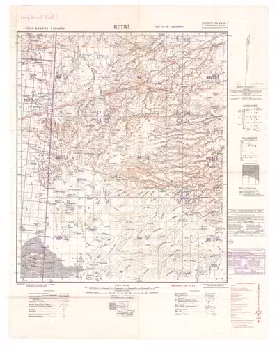
[IRAQ DESERT]
2 lithographic WWII maps: Rutba and Wadi Al Ubaiyidh.
[UK Government], Geographical Section, General Staff, War Office, 1940-1942. 2 topographic maps, colour-printed. Scale 1:500,000. 820 x 640 mm and 770 x 648 mm. Previously folded. Marked "Iraq Desert Sheet 1" and "Sheet 2". Generally well preserved.
€ 1,250
Compiled from 1930s surveys and produced by the British 512 (Army Field Survey) Company, Royal Engineers, for use in the Persian war theatre. These consecutive maps cover the south-western area of Iraq, including Rutba and Fallujah, with parts of Saudi Arabia, Jordan, and Syria (approximately the area between 31° and 33°30 N and 39° and 44° E).
Previously folded. Marked "Iraq Desert Sheet 1" and "Sheet 2". Generally well preserved.
Related Subjects:


")