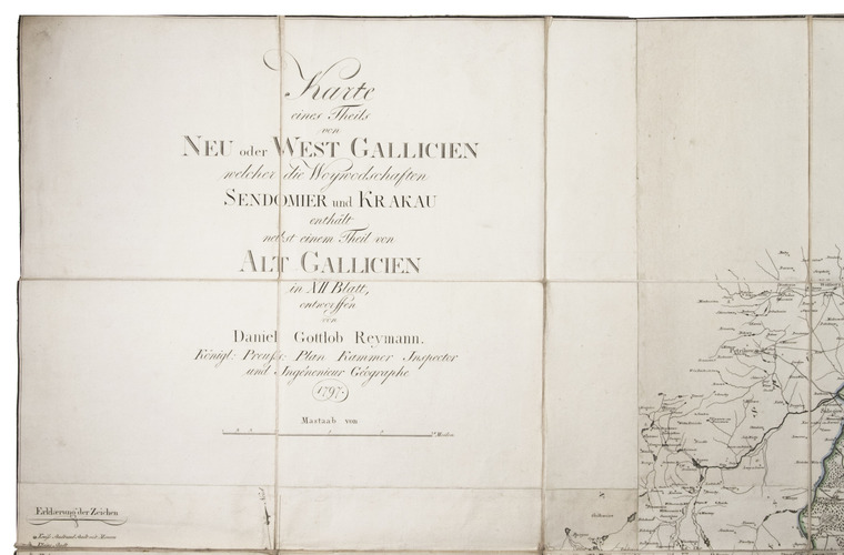
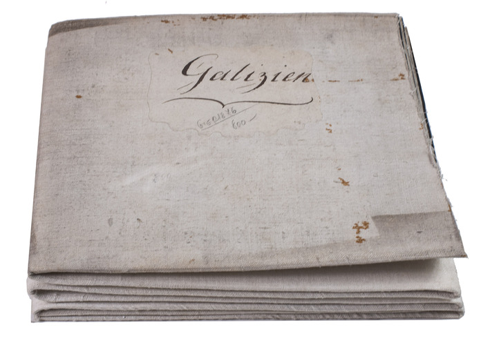
REYMANN, Daniel Gottlob.
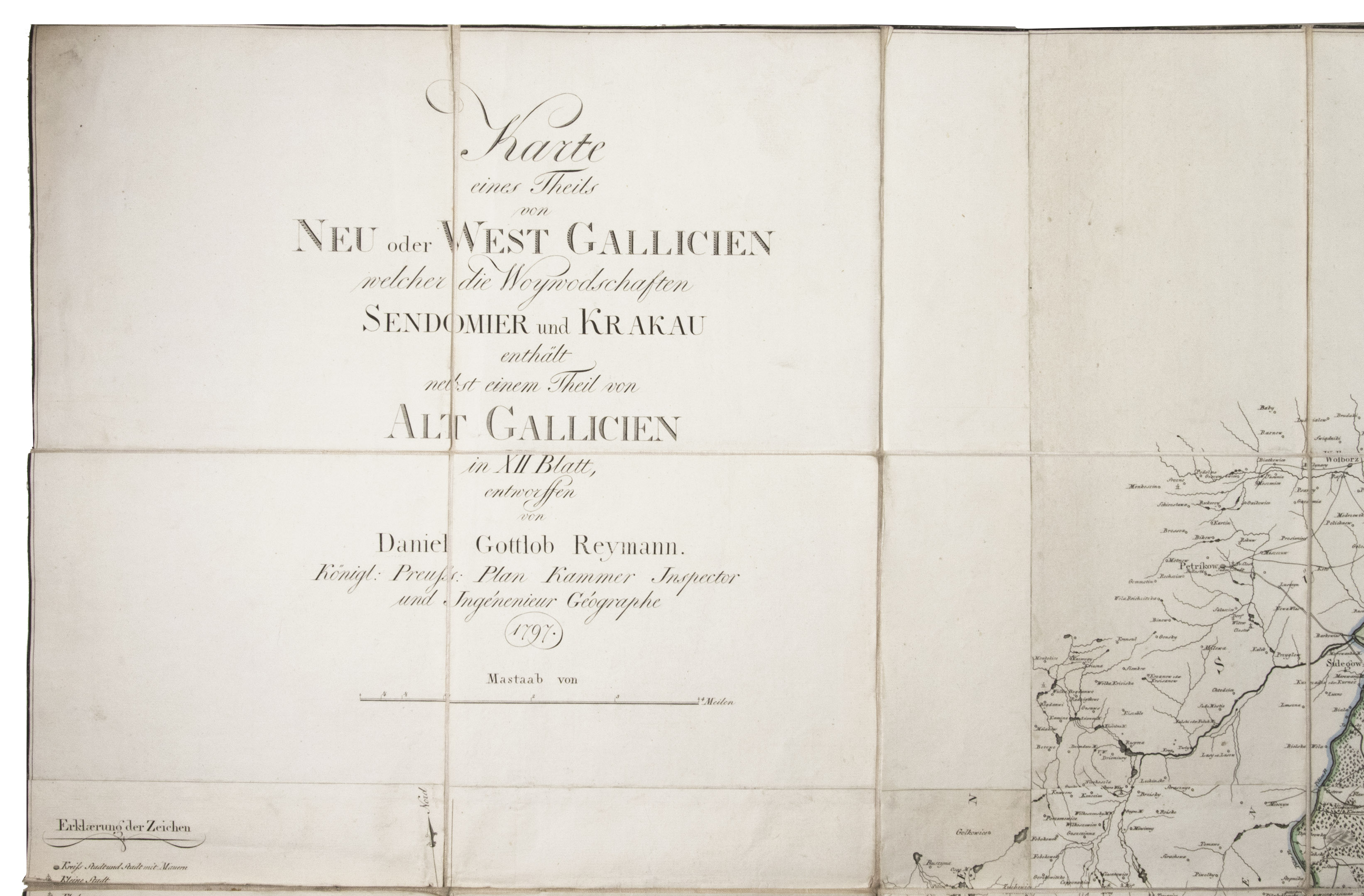
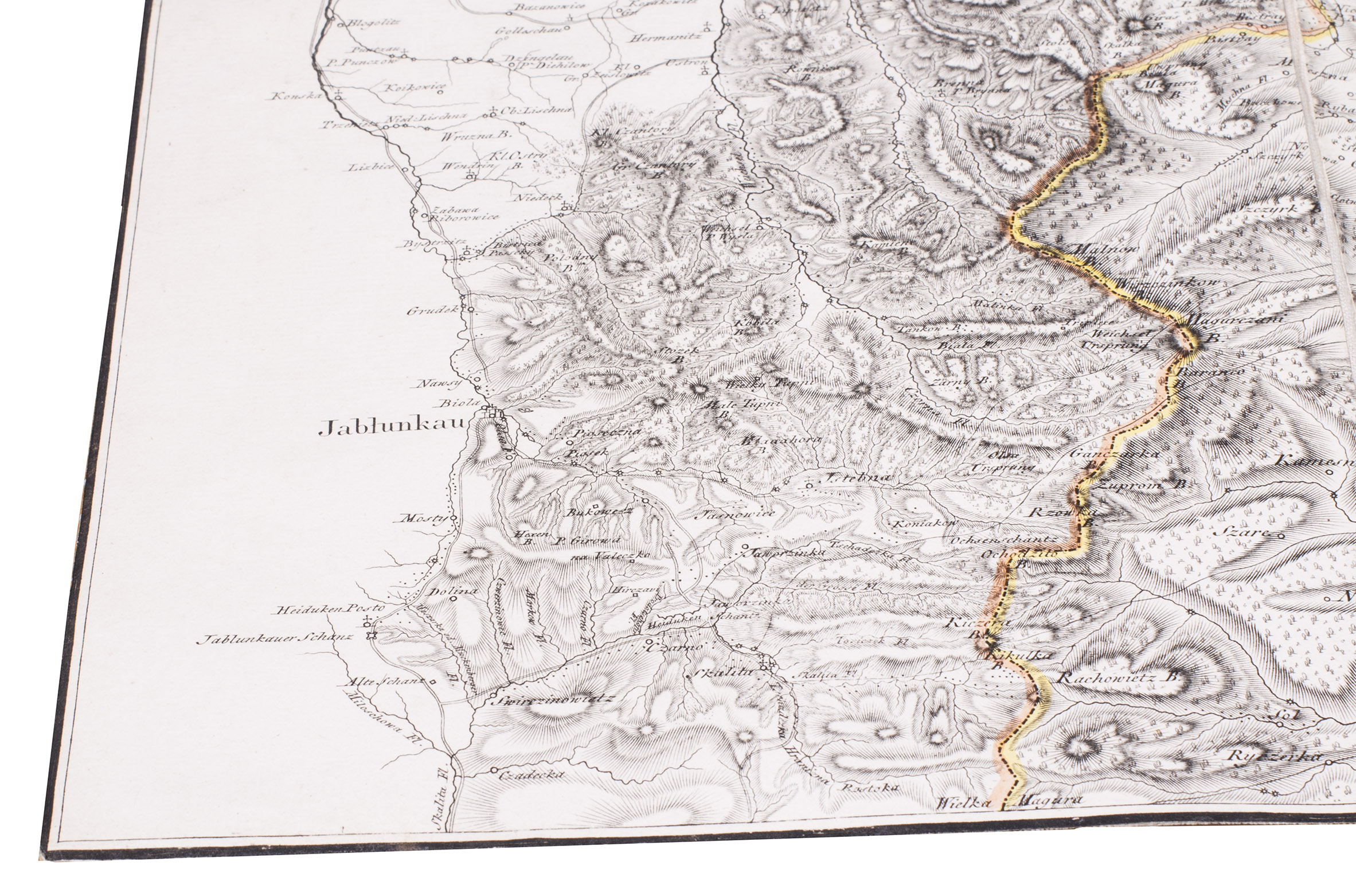
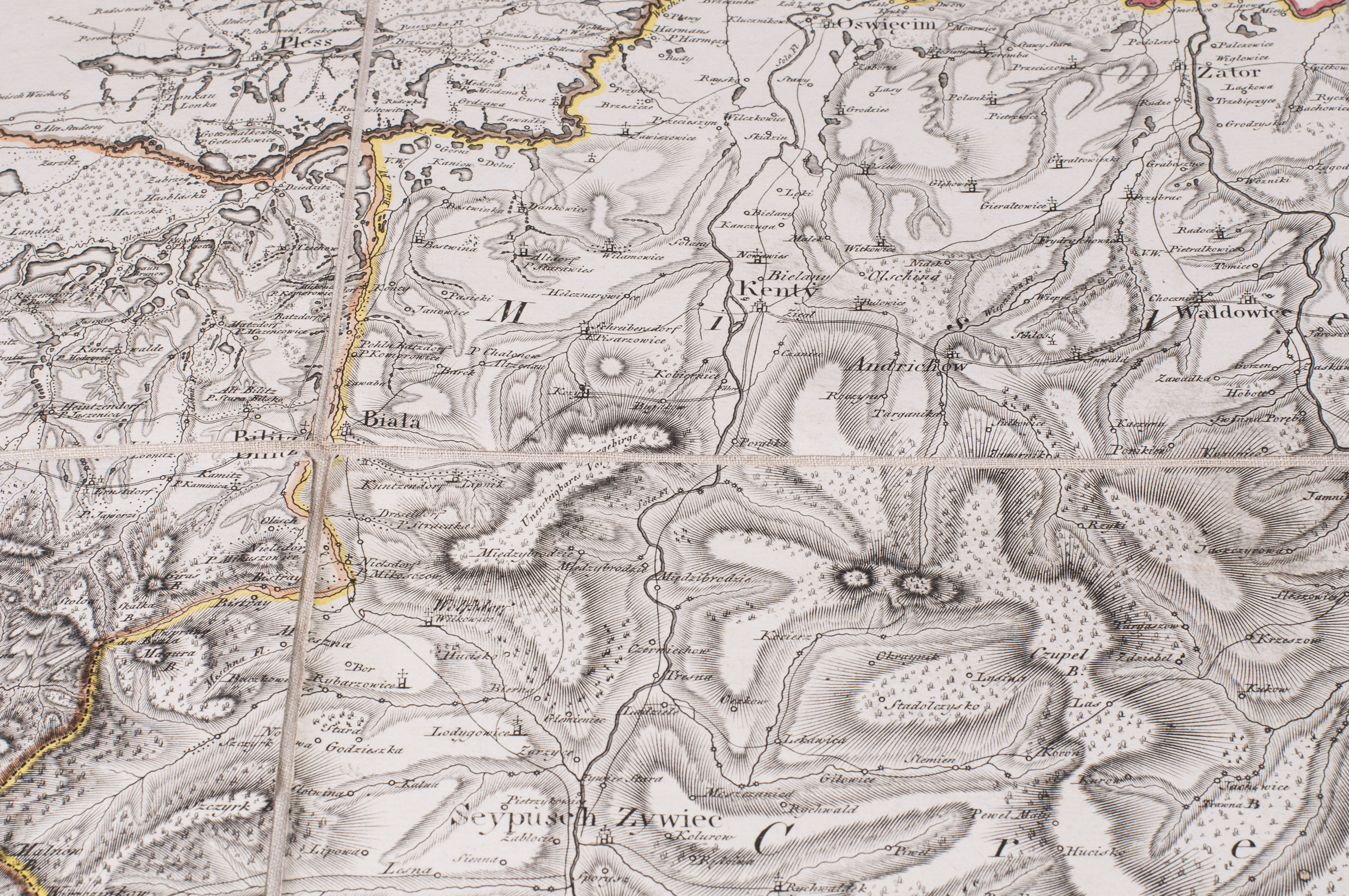
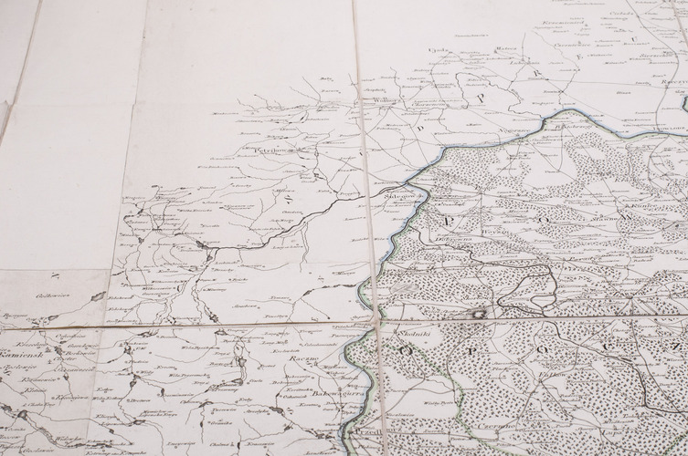
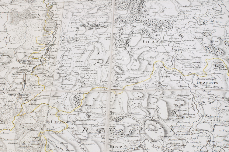
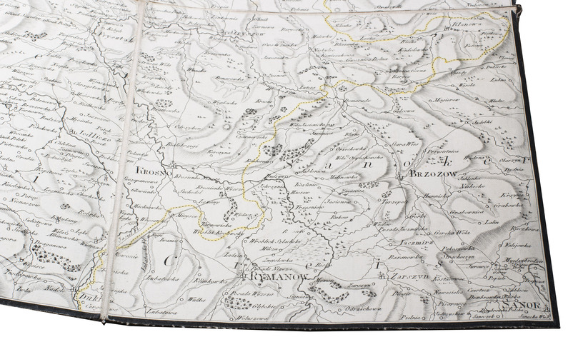
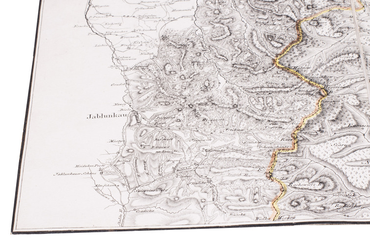
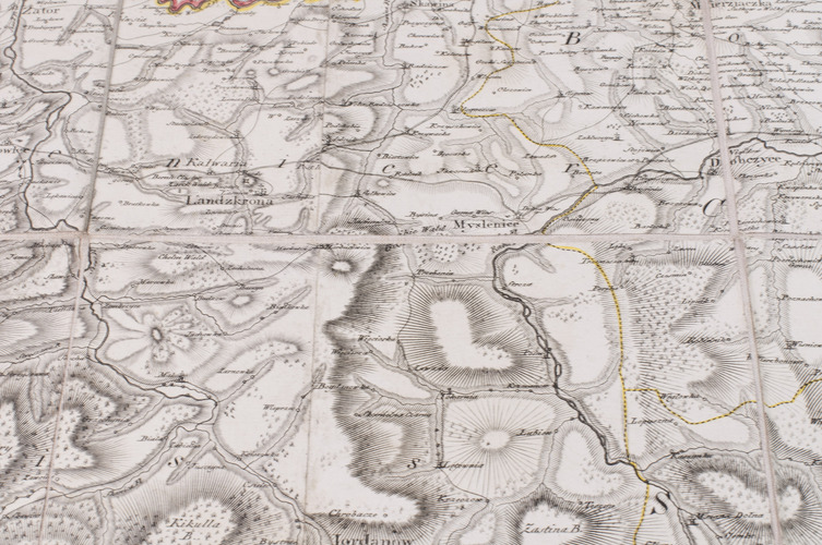
Karte eines Theils von Neu oder West Gallicien welcher die Woywodschaften Sendomier und Krakau enthält nebst einem Theil von Alt Gallicien in XII Blatt, entworffen von Daniel Gottlob Reymann Königl: Preuss: Plan Kammer Inspector und Ingénieu Géographe.
[Berlin, S. Schropp & Comp.,] 1797. Engraved map in 12 sheets, cut into 49 (7 x 7) sections (each ca. 22 x 21 cm) with a total size of 154 x 154 cm. Scale ca. 1:180,000. Partly hand-coloured in outline. Mounted on linen.
€ 2,500
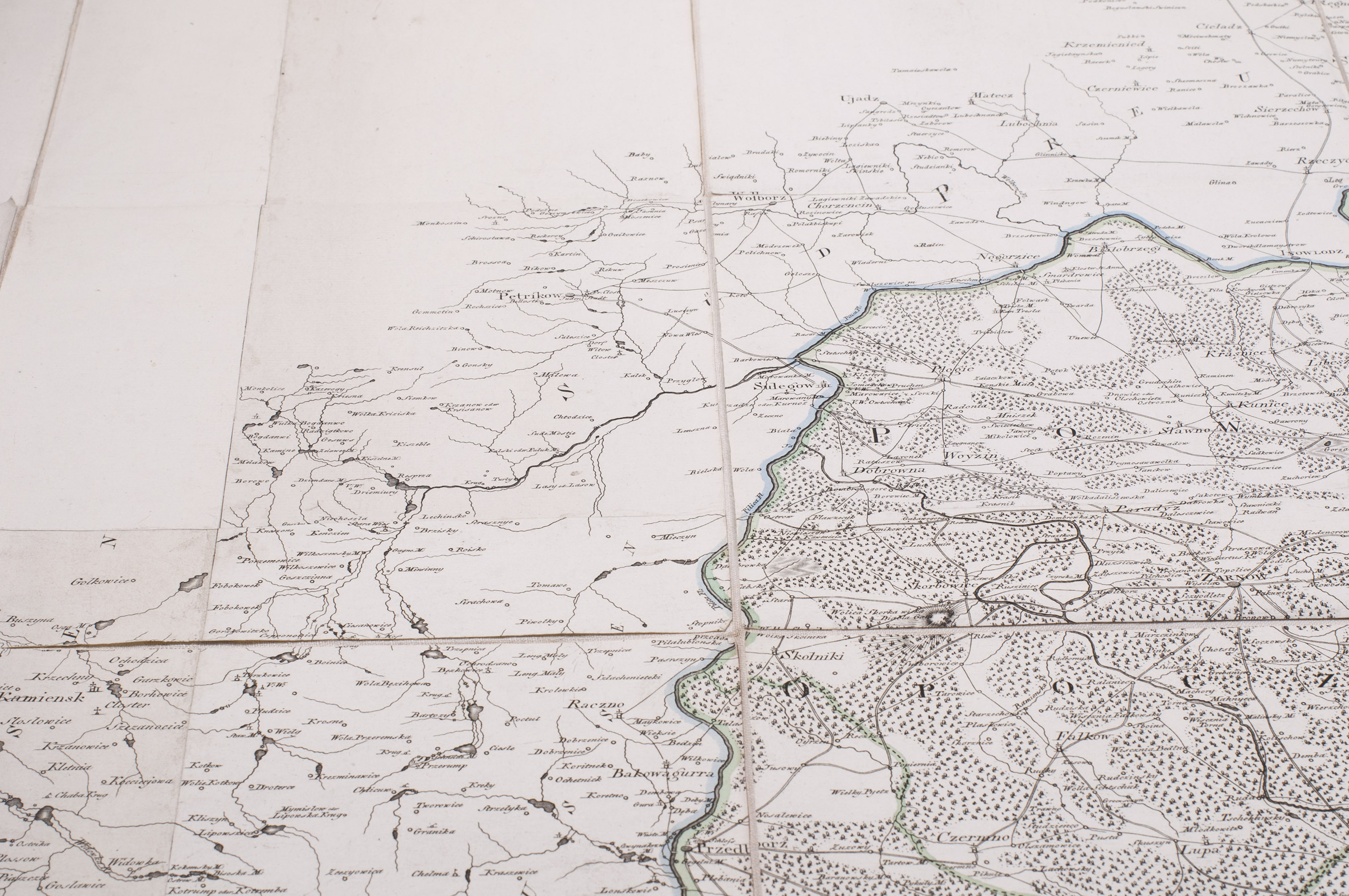
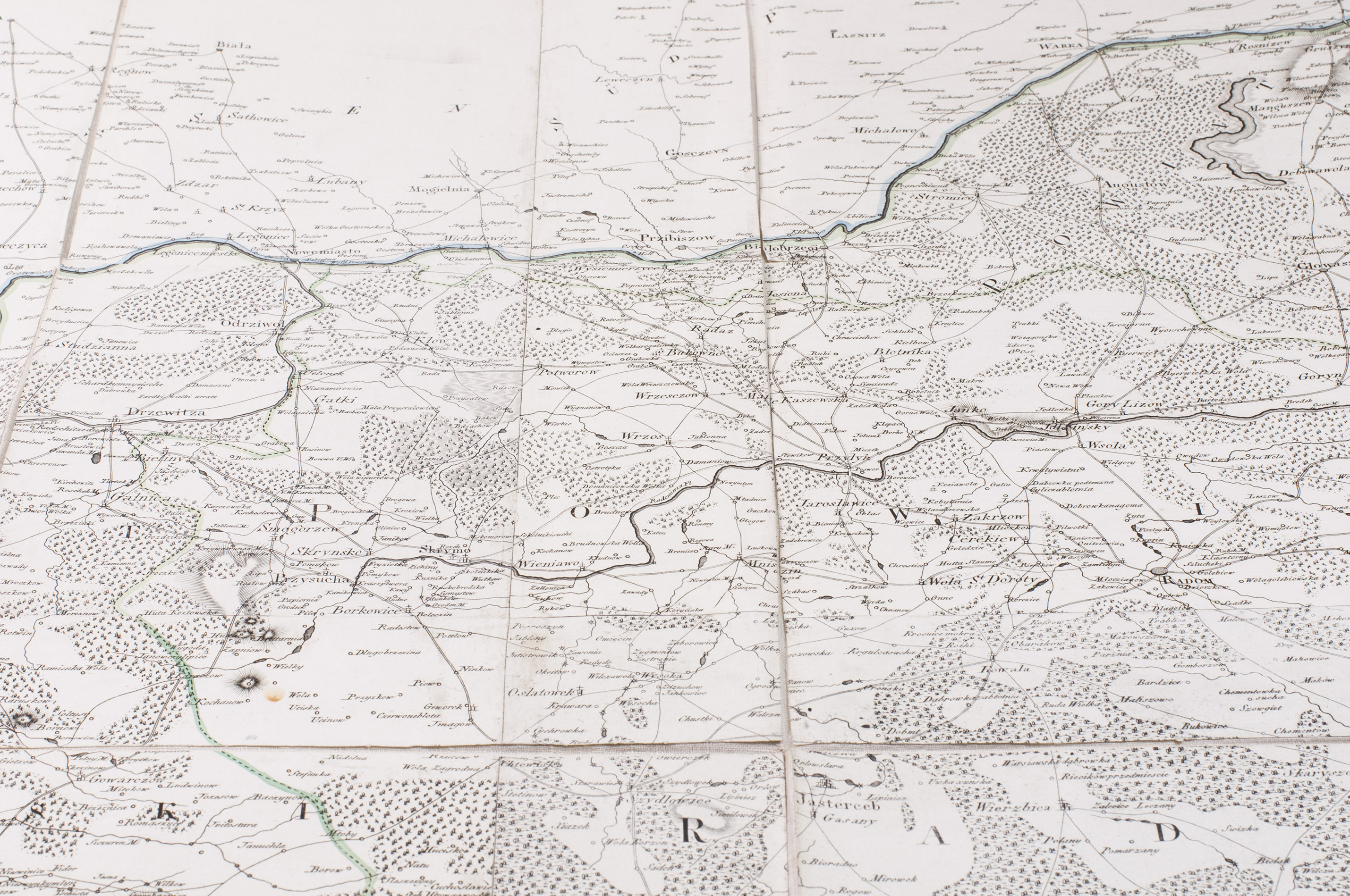
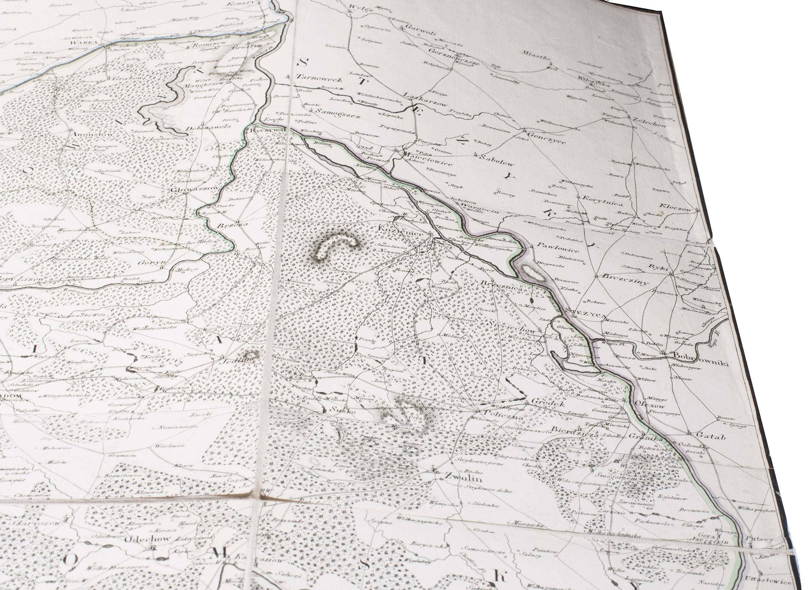
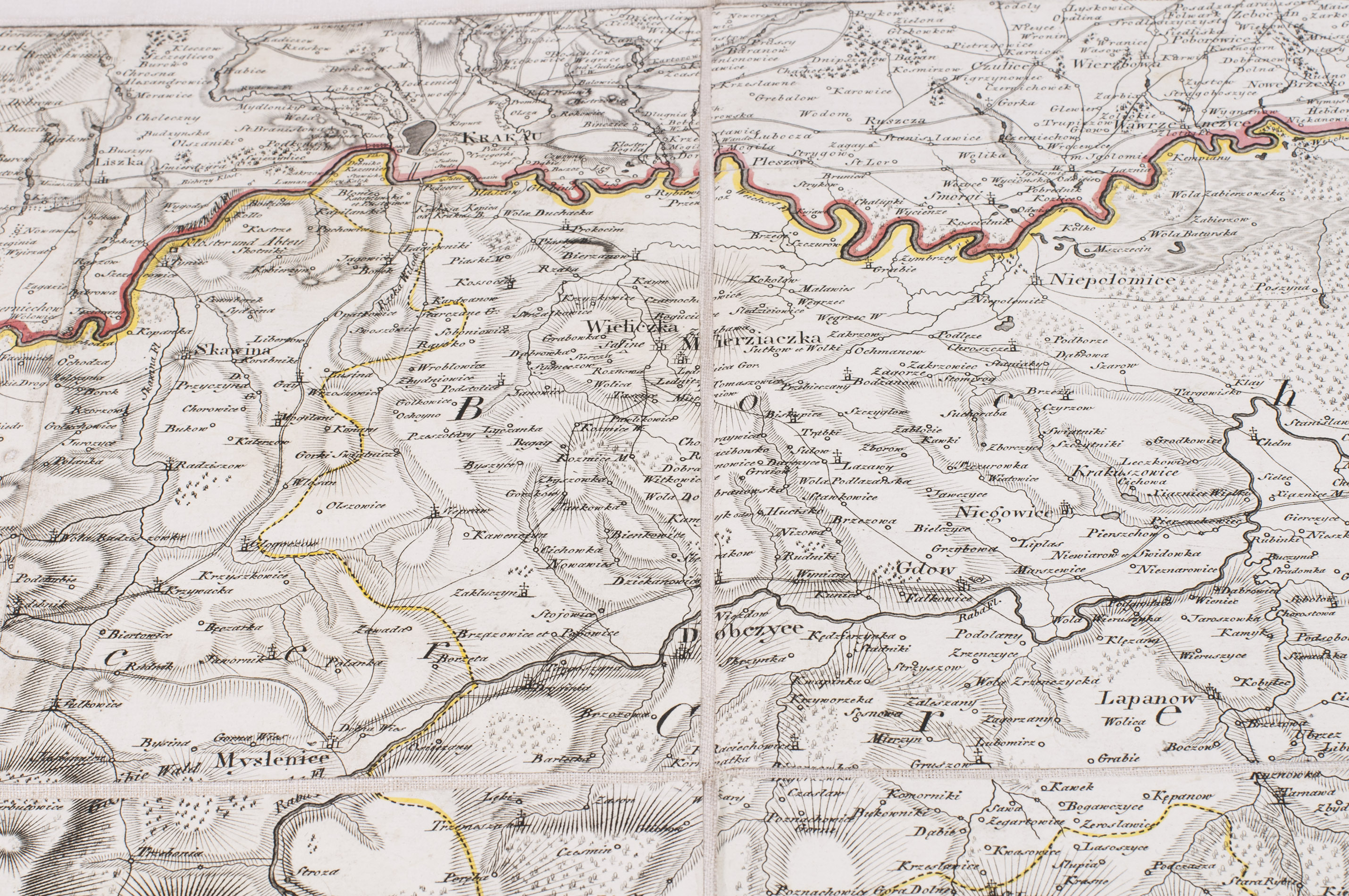
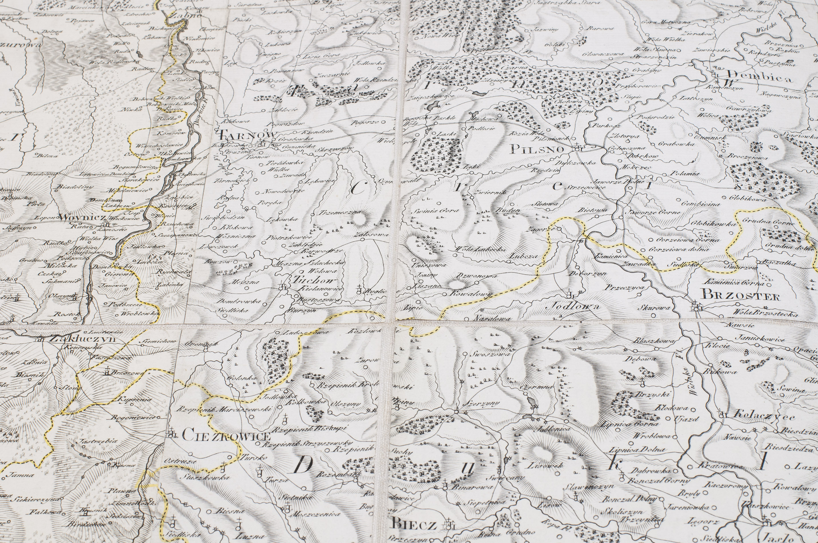
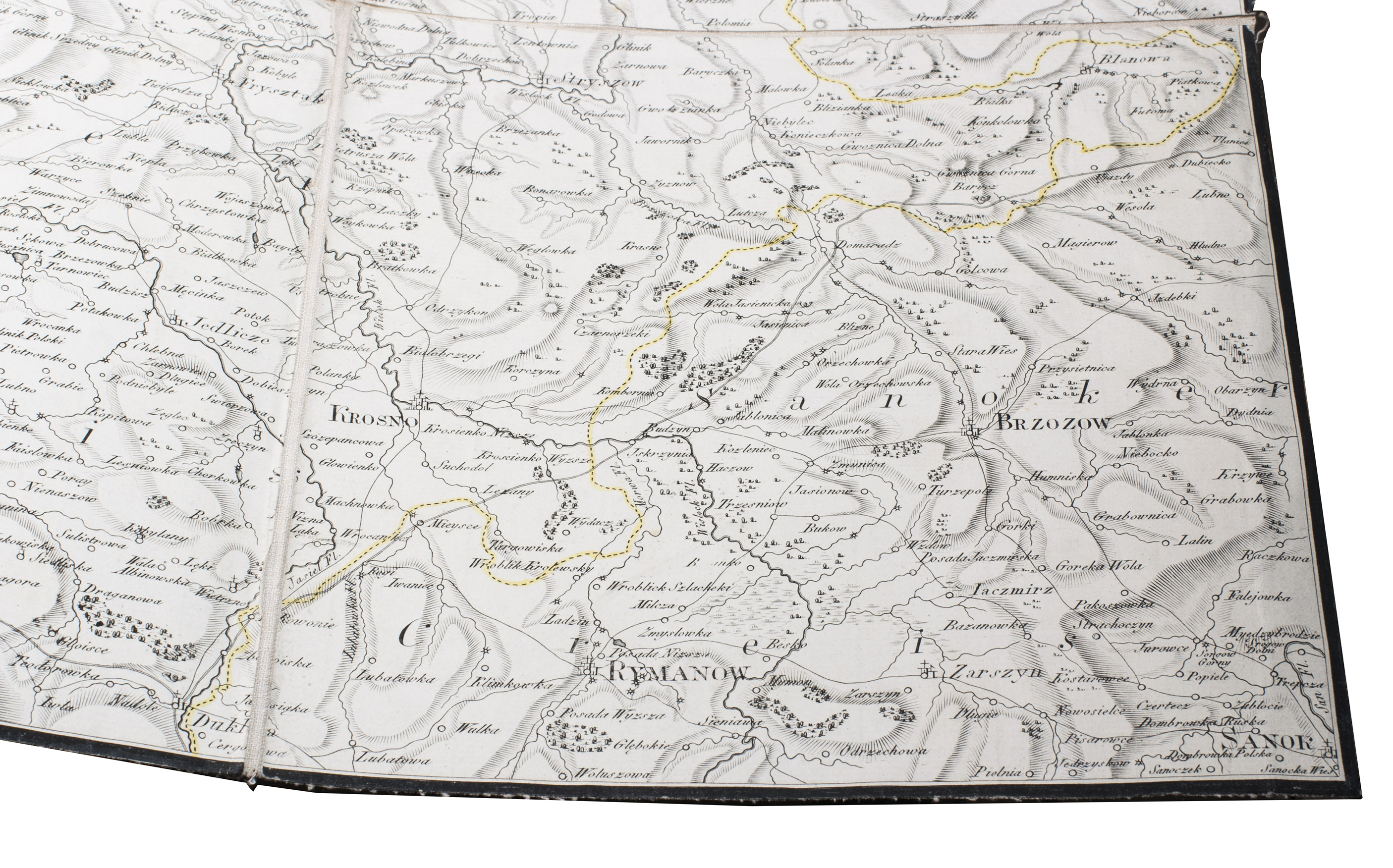
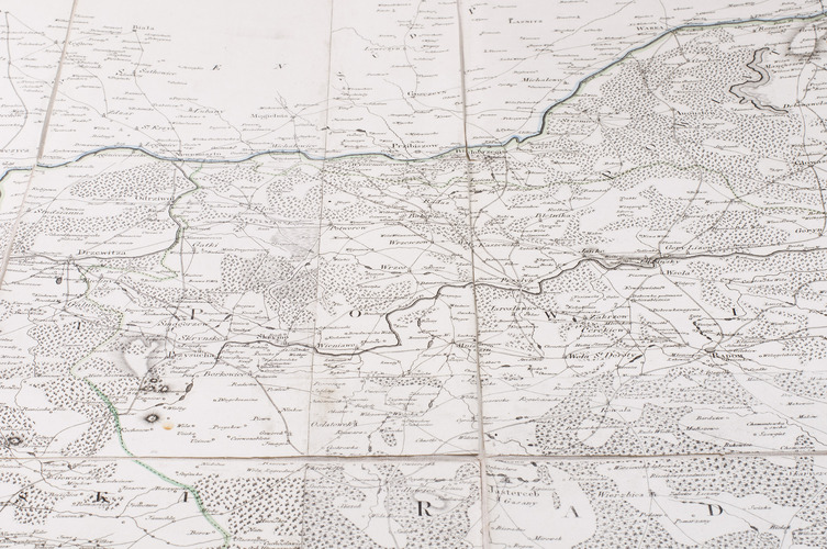
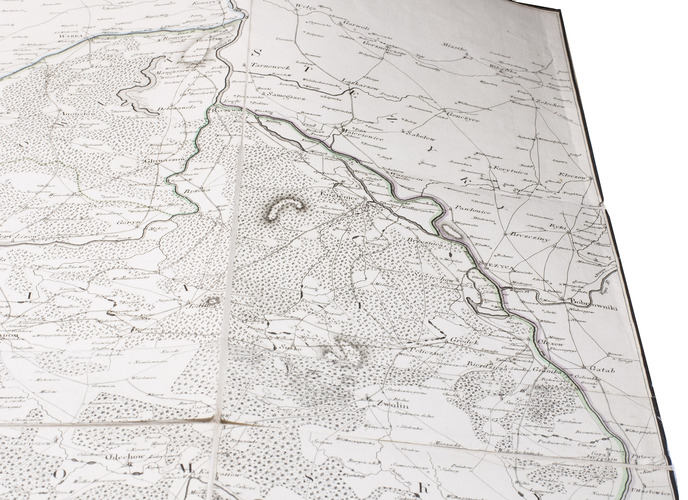
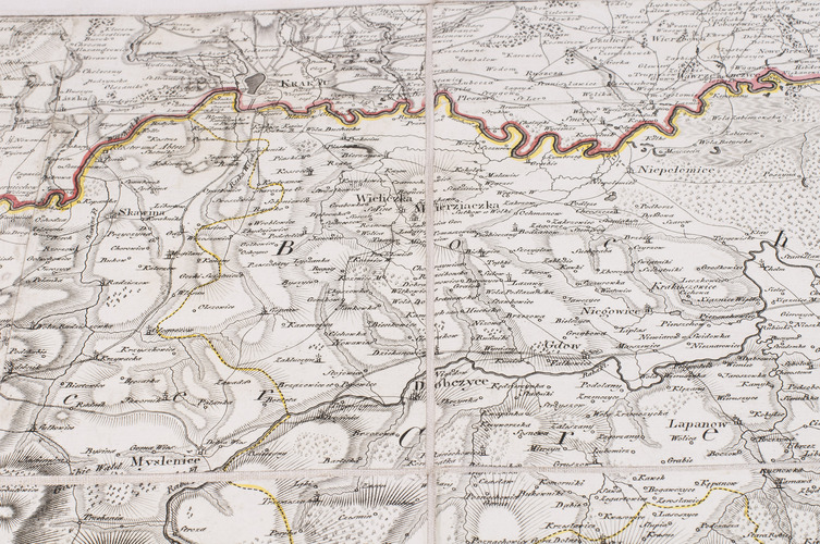
A beautiful and very detailed map of a part of the kingdom Galicia & Lodomenia - in existence between 1772 and 1918 - as a crownland of the Habsburg Emperor Francis II, the last Holy Roman Emperor, mostly in what is now southeast Poland: it covers the area between Wroc³ow (West), Lublin (East), £odž (North) and Krakau (South). The most northern towns indicated are Sulesow, Drzewitza, Warka, and Kozienice; the most southern Seypusch Zywiec, Oswiecim, and Rymanov. Almost no region in Europe has suffered such a violent history, including repeated conquests, pogroms and, during WW II, the most virulent persecution of the Jewish population.
In a way this map covering the provinces of Krakau and Sandomierz within the borders before and during the partition, is a modification of the handwritten maps (now lost) of Father Franciszek Czajkowski, "having neither the necessary training nor the abilities to make good maps. The only further significance of his maps of Little Poland was that they were released to the Prussians in 1794 by the Primate after his treason and were used by them as the canvas for their military survey in the area in 1794 and 1795" (Buczek).
In very good condition. ADB, 28 (1889), pp. 358-359; Tooley, p. 536; K. Buczek, Prace Kartografów pruskich (Works of Prussian cartographers), pp. 192-194 and 213-215; K. Buczek, The history of Polish Cartography (1982), p. 105; IKAR 000724211.
Related Subjects: