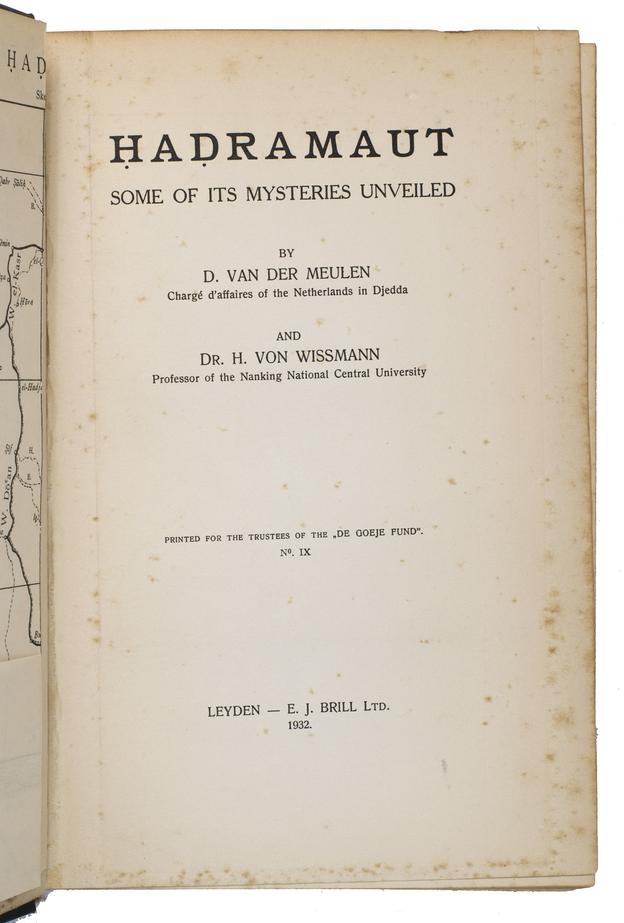
MEULEN, Daniël van der and Hermann von WISSMANN.
Hadramaut, some of its mysteries unveiled.
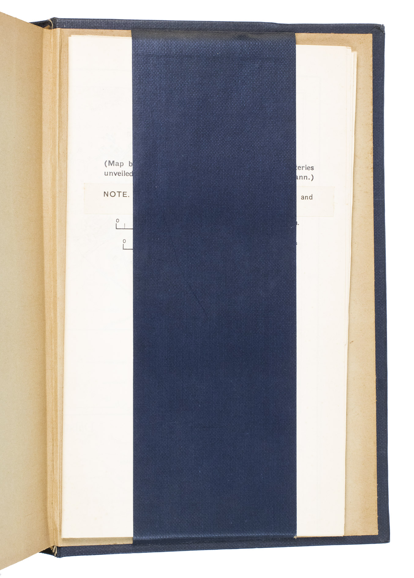
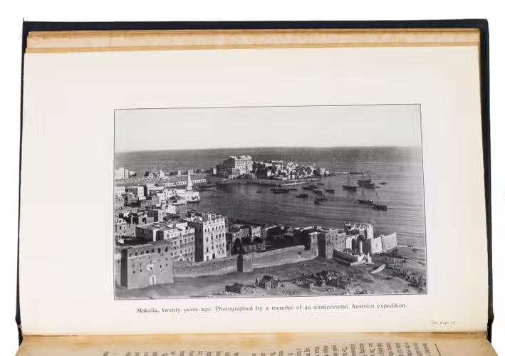
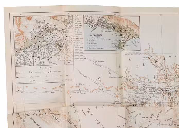
Leiden, E. J. Brill, 1932. 8vo. With a folding map of the region as a frontispiece, a very large folding map (ca. 75 x 106 cm) in the back behind a blue cloth strip mounted on the inside of the back board, and numerous black-and-white photographic illustrations throughout. Original navy blue buckram. XXVI, 248 pp.
€ 250
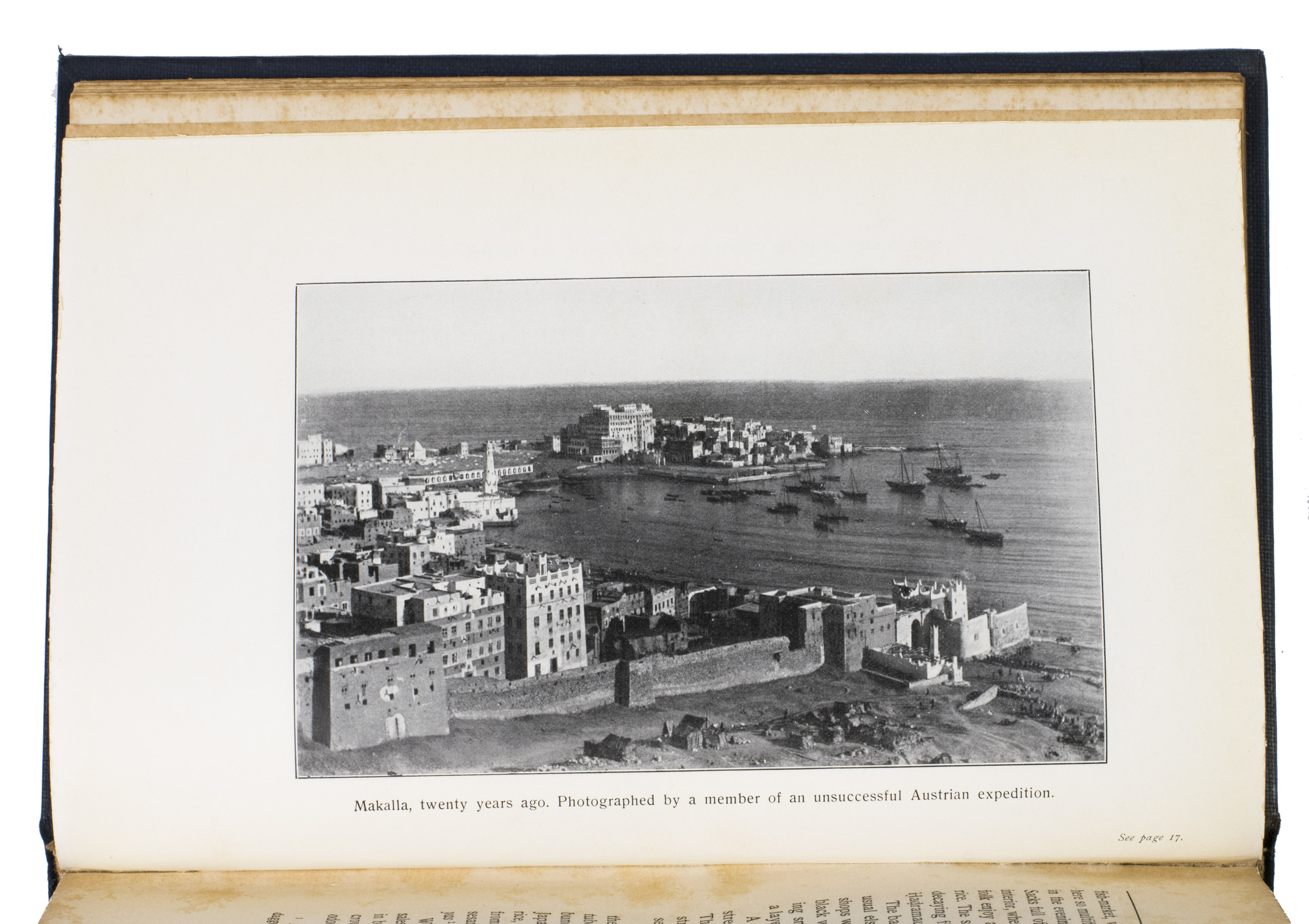
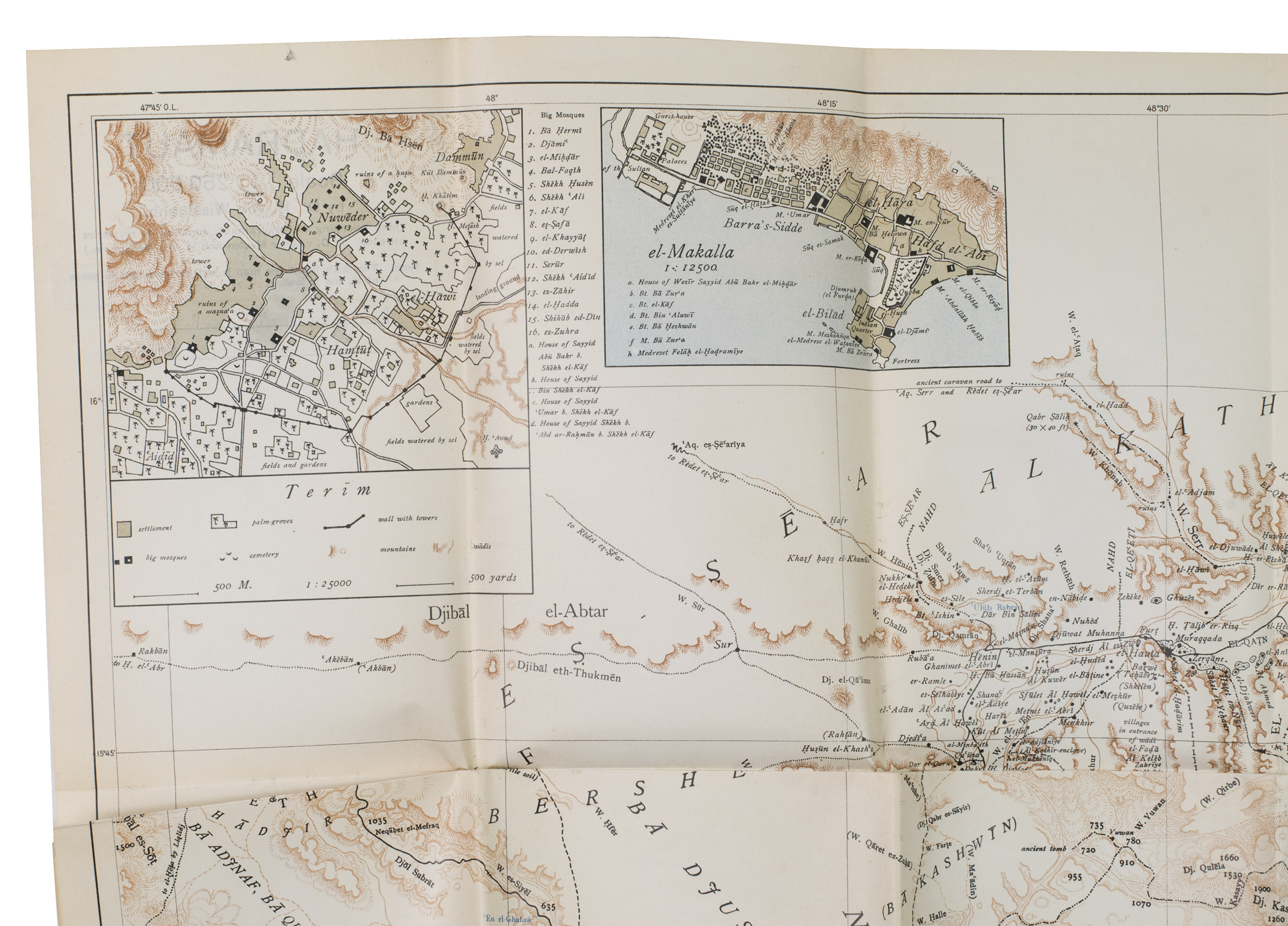
First edition of a rare work about Hadhramaut, a region on the southeast coast of the Arabian Peninsula, with the very large folding map included. This map, made by geographer Hermann von Wissmann (1895-1979), was the first map ever made of the region that was based on measurements and surveying.
Daniël van der Meulen (1894-1989), an Arabist and consul at Jeddah, was one of the first Westerners to visit Hadhramaut. This work, complete with numerous photographs and illustrations, relates his journey and offers a fascinating insight into the political, social and economic situation of this region in the 1930s.
With two owner's inscriptions on the first flyleaf ("Amersfoort, 5 dec. 1932" and "A. groothoff"). Without the dust-jacket. The spine and part of the back board have faded, the top edge of the back board is slightly bumped. The endpapers, french title-page and page 248 have browned edges, foxed throughout. Otherwise in good condition. Macro 1585; cf. Rentz, G., Recent literature on Hadramaut. In: Middle East journal, vol. 5 (3), 1951, pp. 371-377.
Related Subjects: