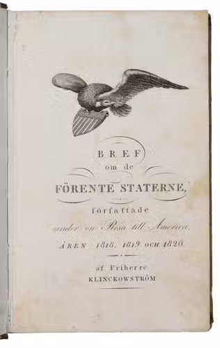
KLINKOWSTRÖM, Axel.
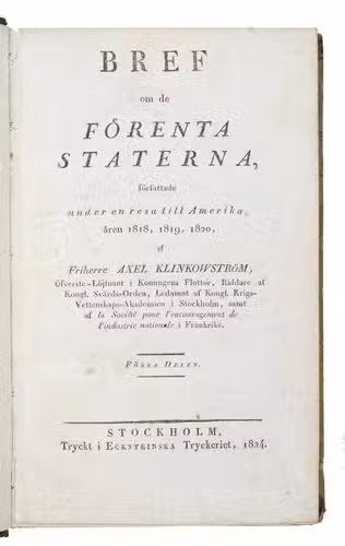
Bref om de Förenta Staterna, författade under en resa till Amerika, ären 1818, 1819, 1820. ... Förra[-Senare] delen.
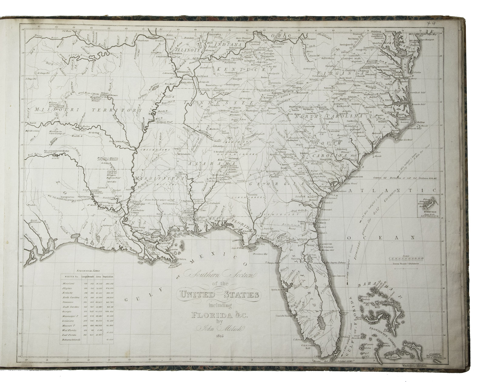
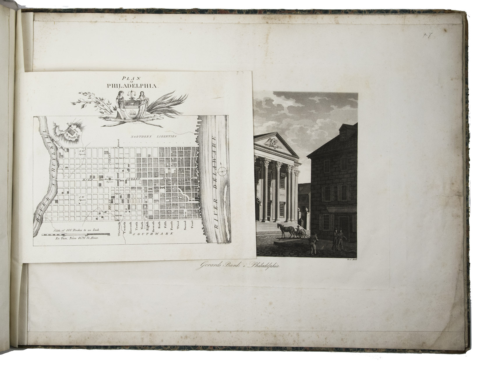
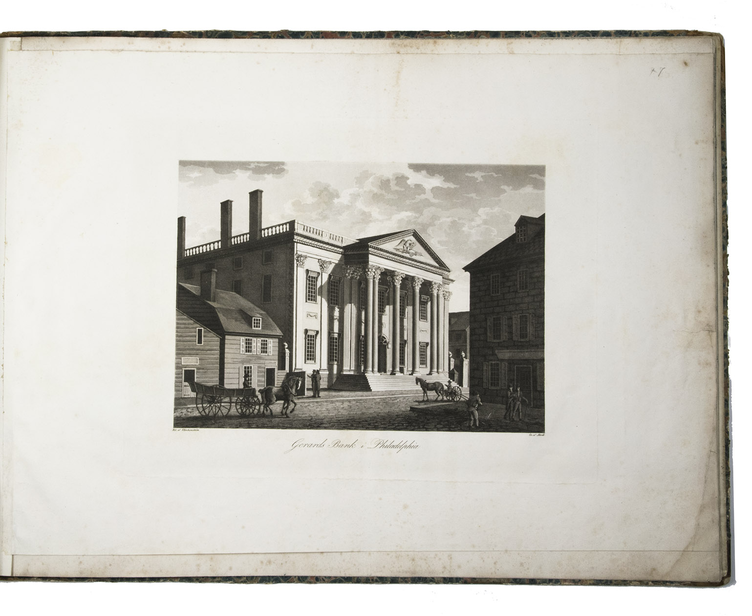
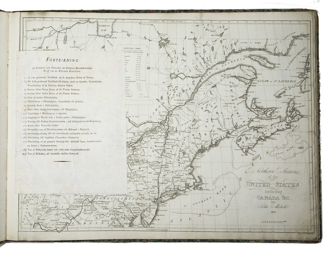
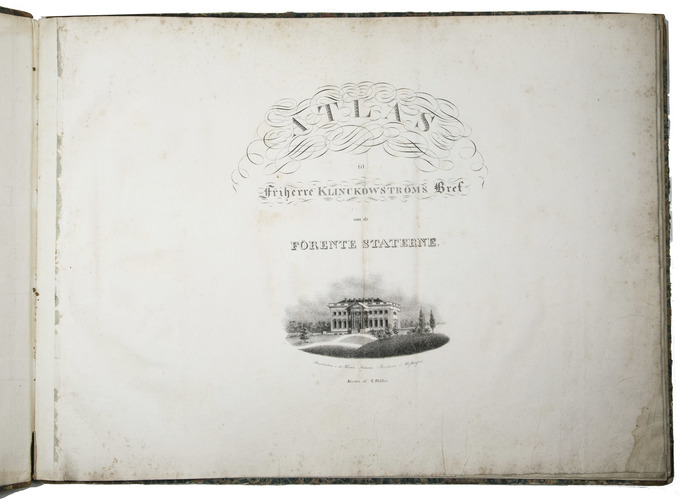
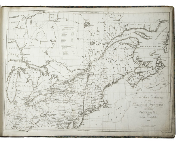
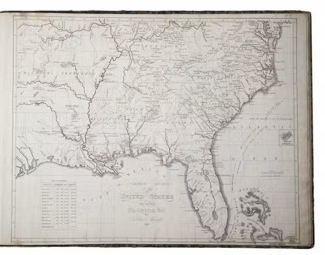
Stockholm, Ecksteinska Tryckeriet, 1824. 3 volumes, the 2 text volumes bound as 1. 8vo (text) & 1mo (atlas, 42 x 56 cm). Each text volume with the same engraved title-page, and in volume 1 a folding letterpress table. The atlas volume has a lithographed title-page with a view of the White House, 2 large engraved maps of the northern part and the southern part of the United States by John Melish, dated 1816, and 14 maps, plans and views of New York, Philadelphia and Washington, including 8 fine engraved aquatints by Akrell. Bound in the atlas volume are 2 letterpress 4to leaves, one with the numbered list of 19 plates: the 2 engraved title-pages for the text volumes (1-2), lithographed title-page for the atlas (3) and 16 plates for the atlas (4-19: seven are 1mo - full or nearly full sheets - and nine smaller).
With: (2) [KLINKOWSTRÖM, Axel]. Atlas til Friherre Klinckowströms Bref om de Förente Staterne.
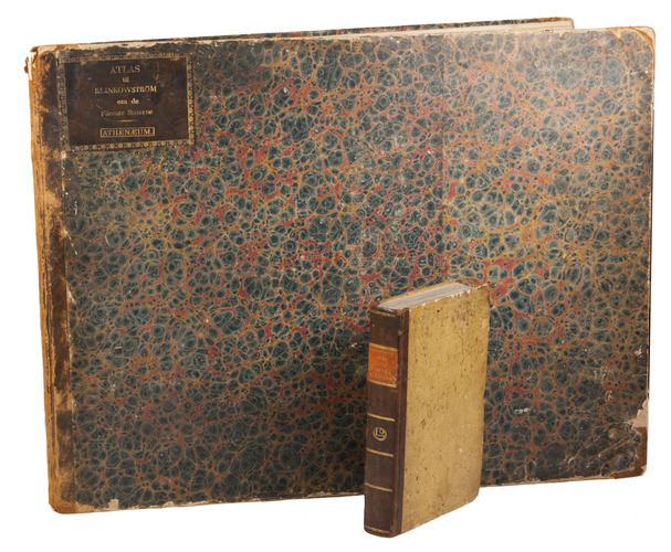
[Stockholm, Ecksteinska Tryckeriet, 1824]. Contemporary half sprinkled calf with the volume numbers 1 & 2 in half tanned sheepskin. IX, 242, [2]; VIII, [2], 243-496 pp.
€ 7,000
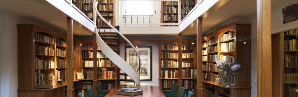
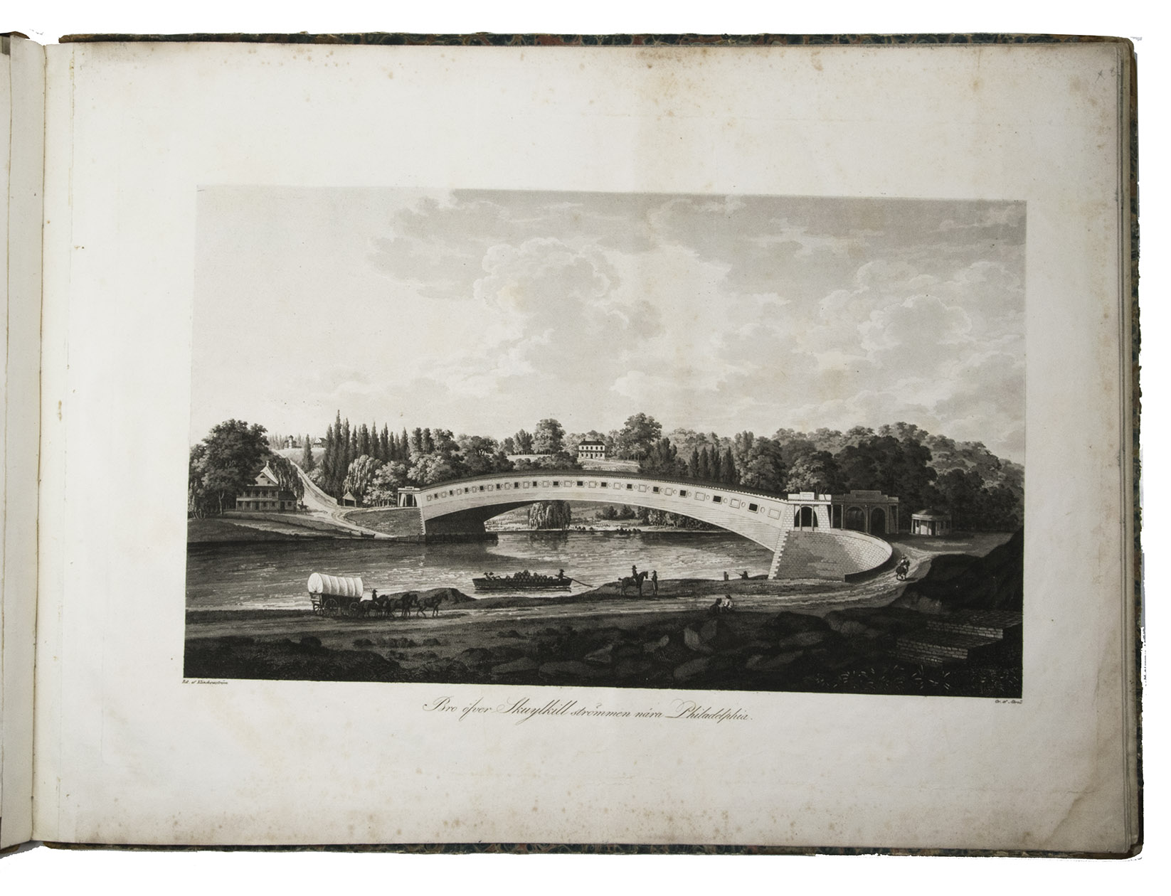
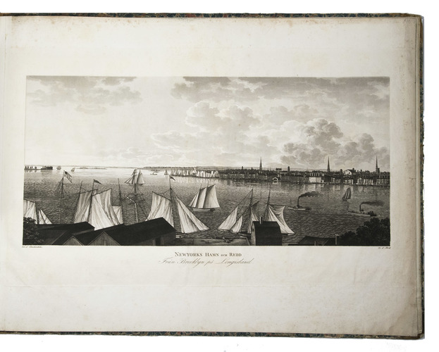
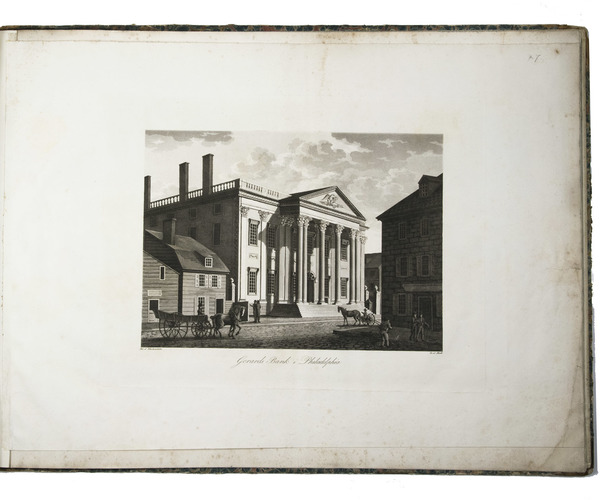
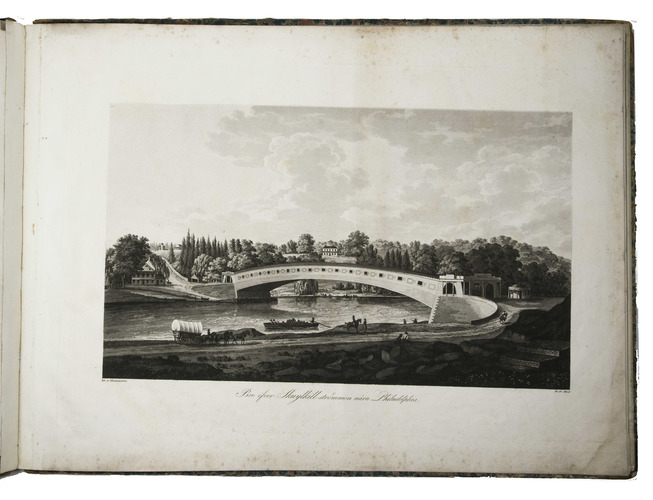
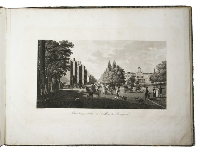
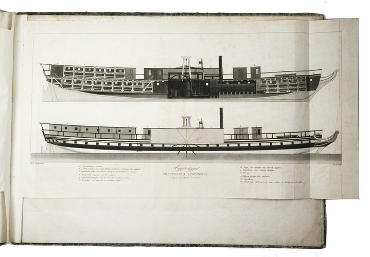
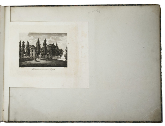
First edition of an interesting and stunningly illustrated travel book in the form of letters written during a journey through the United States by a Swedish nobleman and lieutenant-colonel of the Swedish Royal Navy. It provides an interesting picture of the United States at the beginning of the 19th century. Klinkowström discusses the important issues of the time: the acquisition of Florida, the Missouri question, slavery, etc. He describes his audience with the United States fifth president, James Monroe, and his visit to the theatre in Washington ("Romeo och Juliette"). The highly praised plates were designed by the author and engraved by Arkell. They include views of Gerards or Girards Bank (as it was known since 1812), designed by Samuel Blodgett and built in 1794 as the First Bank of the United States; Louis Wernwags 1812 covered Colossus Bridge crossing the Schuylkill River near Philadelphia in a single span (more than 100 metres), destroyed in a 1838 fire; a fine view from the harbour towards Brooklyn; a view of Broadway in New York and much more. Seven of the plates (plus the atlas title-page) are in 1mo formaat (whole sheets, or in one case a slightly shorter but wider leaf, here with the end folded in) and the others are (most oblong) 8vo and 4tos. Most are on unwatermarked wove paper, but the two large maps are on Dutch laid paper by J Honig & Zoonen
Outer margins slightly soiled. A good set. Howes K-201; Phillips & LeGear 1375; Sabin 38053 (text only); Stokes V, 1596-1597; not in Eberstadt; Muller, America.
Related Subjects: