KERHALLET, Charles-Marie Philippe de.
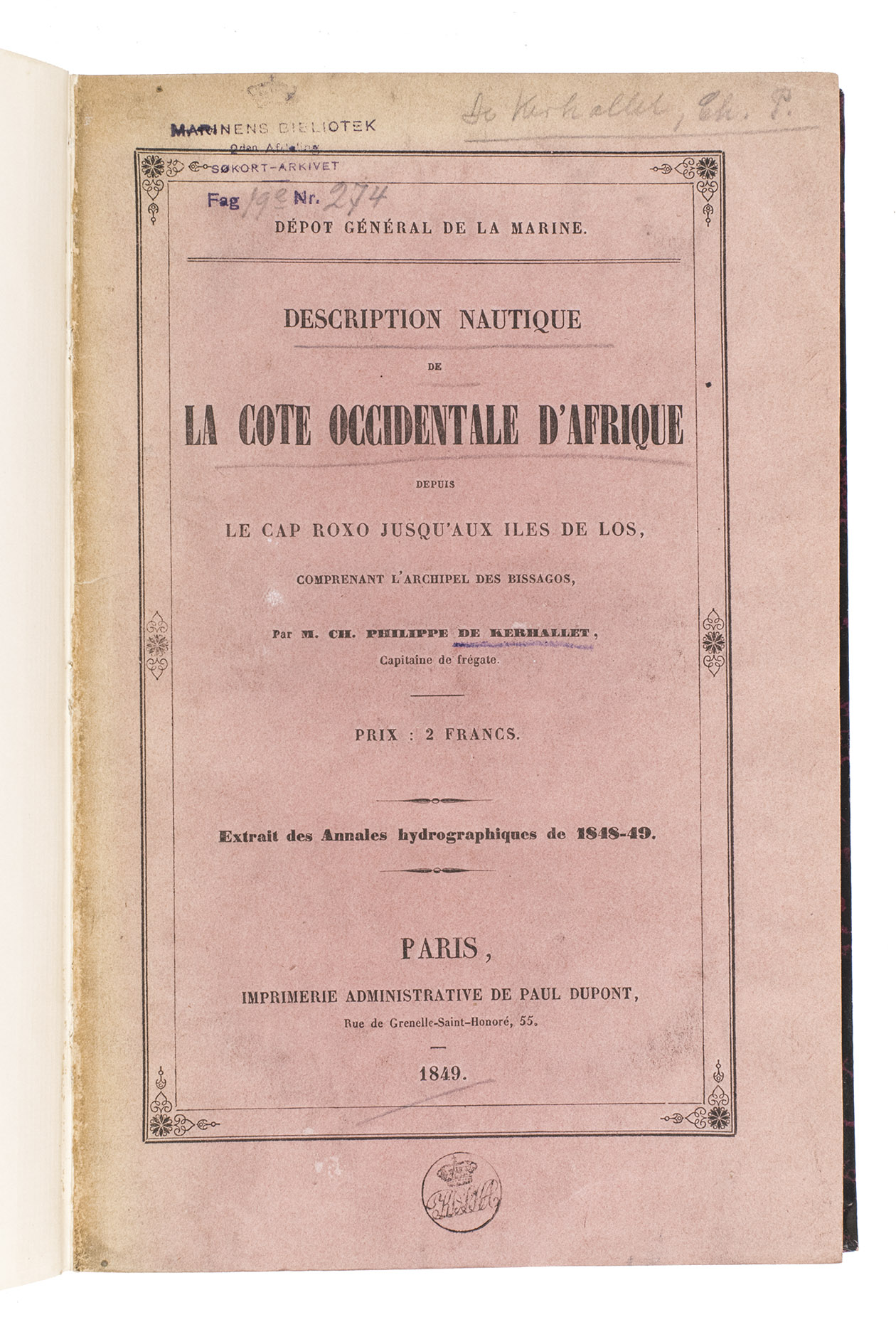
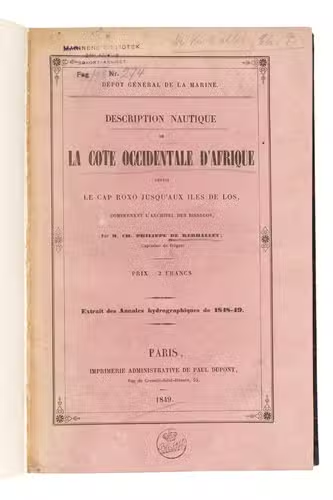
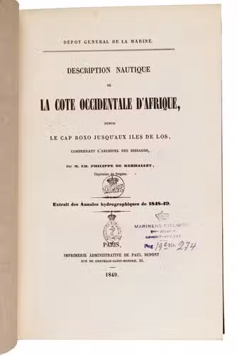
Description nautique de la côte occidentale dAfrique depuis le Cap Roxo jusquaux Îles de Los, comprenant larchipel des Bissagos.
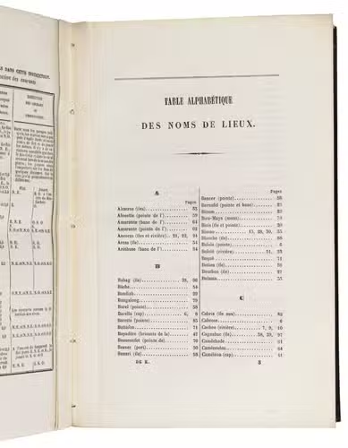
Paris, Paul Dupont, 1849. 8vo. Later half black cloth, with the title and year of publication lettered in gold on the front, the logo of the Royal Danish Navy library gold-tooled on the front, black and pink marbled paper sides. 102 pp.
€ 1,500
Rare first edition of a navigational pilot to the West African coast from Kabrousse on the border of Senegal and Guinea-Bissau to the Îles de Los off Conakry in Guinea. It was written by the French captain and navigator Charles-Marie Philippe de Kerhallet (1809-1863) for the first issue of the Annales Hydrographiques (1848-1849), a yearly publication on hydrography and navigation, but has here been separately published. It was intended to supply navigators with the most up-to-date information on the West African coast to help them safely navigate this area. A second edition was published in 1858. Kerhallet published a small number of other works on the same subject, including his important Manuel de la Navigation a la Cote occidentale dAfrique (1853), and various works on navigating the coasts of Mexico and Panama. He is also known for his contributions to the understanding of oceanic gyres.
Bound with the original pink printed wrappers, with the stamps of the Royal Danish Navy Library to the front wrapper and title-page, a shelf mark label mounted on the front pastedown. The edges and corners of the boards are slightly scuffed. The work is printed on heavy paper. Overall a clean copy in very good condition. WorldCat 457878835 (2 copies); cf. Bessero et all, "150 years of French "Annales Hydrographiques" ", in: International hydrographic review, LXVII (1), March 1990, pp. 148-170.
Related Subjects: