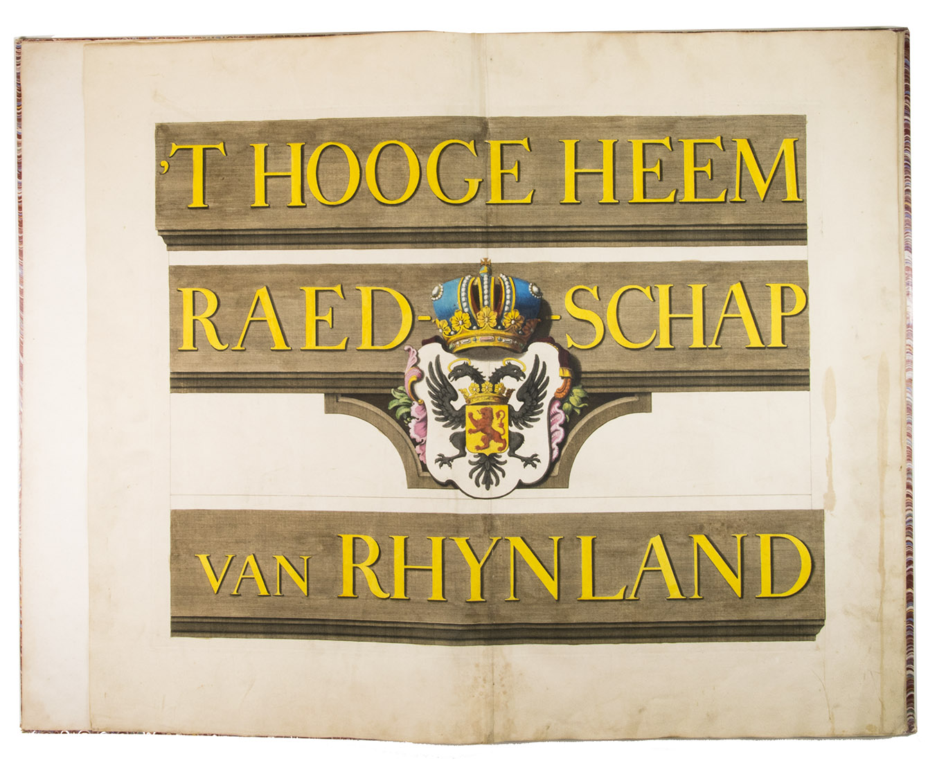
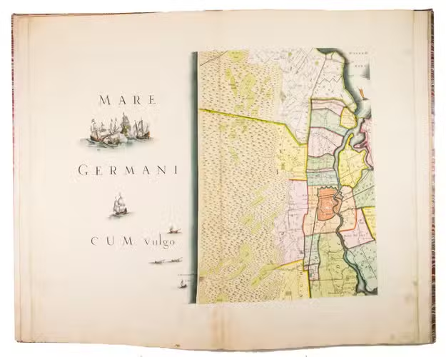
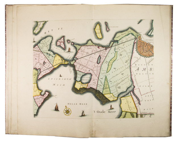
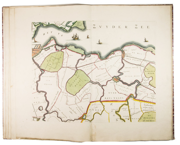
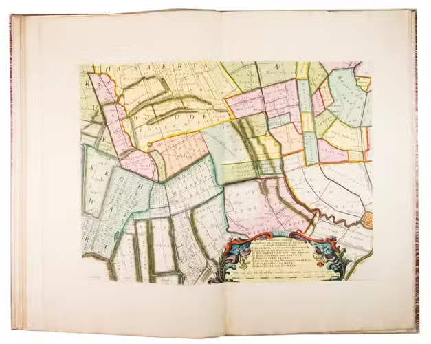
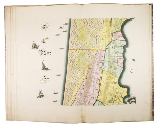
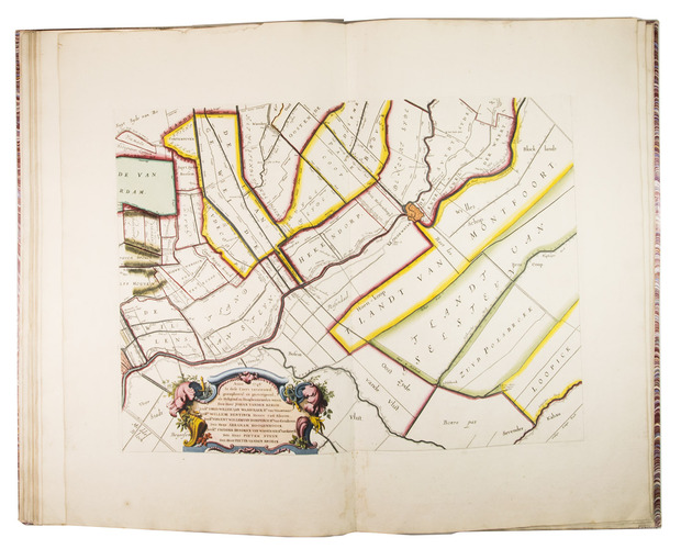
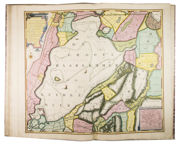
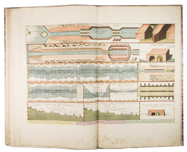
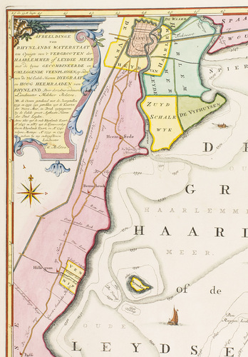
DOU, Jan Jansz. (Johannes Dou I), Steven van BROECKHUYSEN and Melchior BOLSTRA.
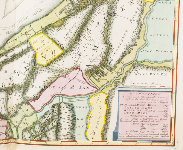
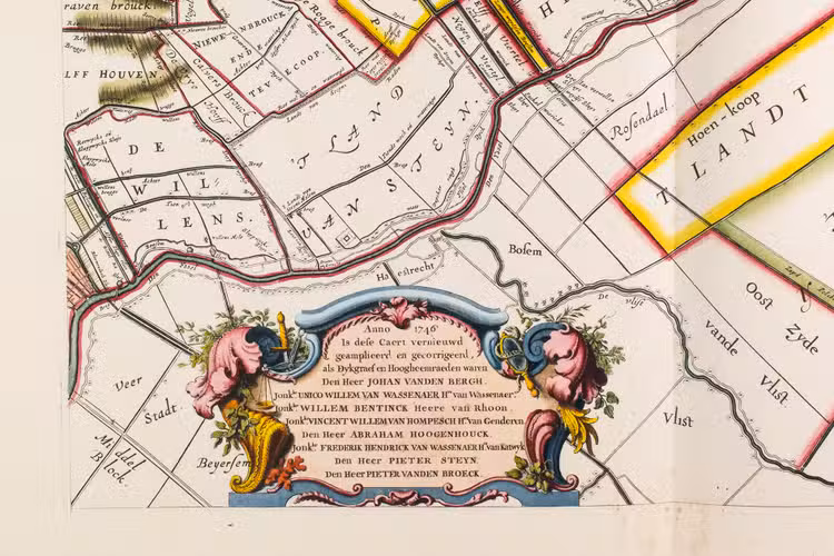
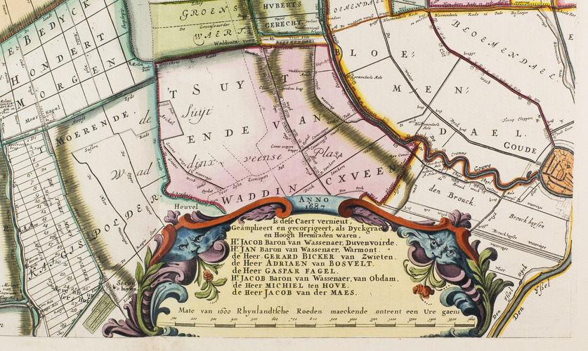
'T Hooge Heemraedschap van Rhynland.
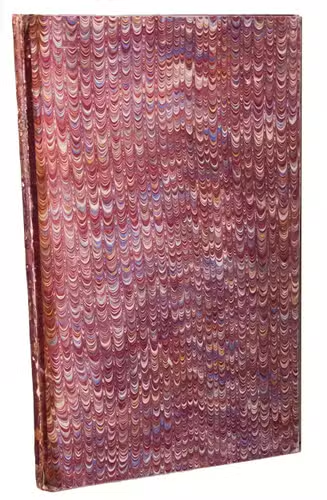
[Amsterdam], Isaak Tirion, 1746. Atlas folio (58.5 x 37.3 cm). With 15 double-page engraved plates, all coloured by hand, including 13 maps. The plate size is mostly ca. 44.5 x 55 cm and ca. 41.5 x 55 cm, the map of the Haarlemmermeer has plate size 55 x 63 cm. An illustration of existing and projected sluices for drainage of the polder and another illustration with title, both after drawings by Melchior bolstra. All plates mounted on stubs so that they open flat. Half red sheepskin and intricately marbled paper sides.
€ 6,000
Strikingly hand-coloured third corrected state of this finely engraved wall map. In 1745 the waterboard of Rijnland ordered the surveyor Melchior Bolstra to correct the outdated map of Dou and Broeckhuysen of 1647. The results of Bolstra's new survey were engraved into the original plates by David Coster. A map of the Haarlemmermeer with dotted lines to indicate its increasing size from 1531 untill 1740 and a plate with technical drawings of sluices and waterlevels were added.
A very good, hand-coloured copy of this renowned map of the Rijnland district. Some slight signs of wear to the spine, some minor water staining to the bottom margin near the gutter throughout and the margins are very slightly soiled, all barely affecting the plates. Donkersloot-De Vrij 715.
Related Subjects: