CARRUTHERS, Alexander Douglas Mitchell.
A journey in North-Western Arabia.
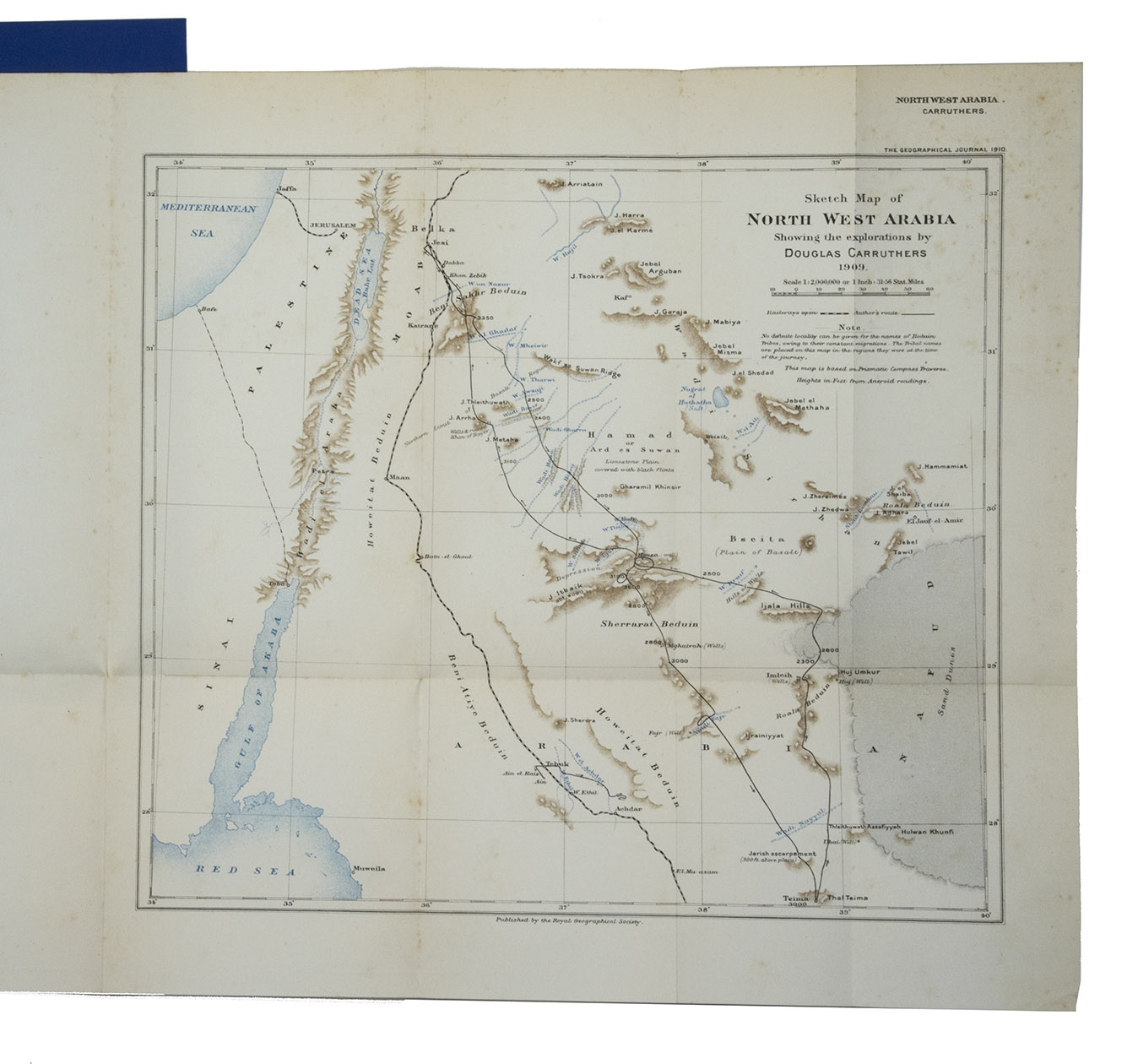
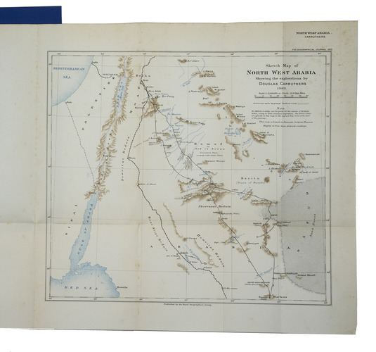
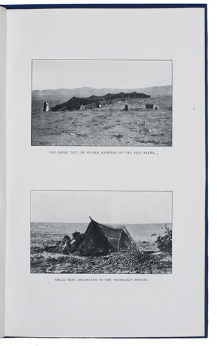
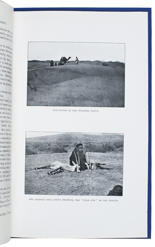
[London, W. Clowes], March 1910. 4to. With 12 black and white photographs made during the journey and a folding chromolithographed map of North-West Arabia (27x30.5 cm). Modern blue wrappers. [32] (numbered 225-248) pp.
€ 750
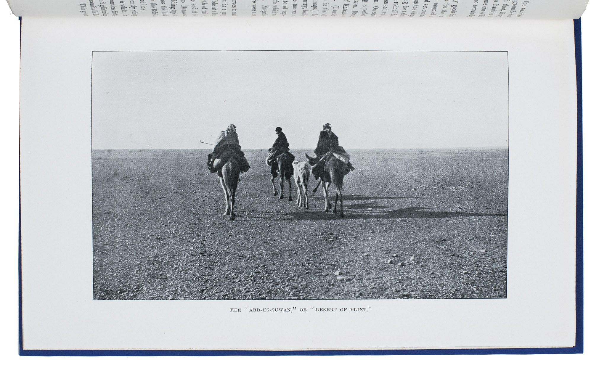
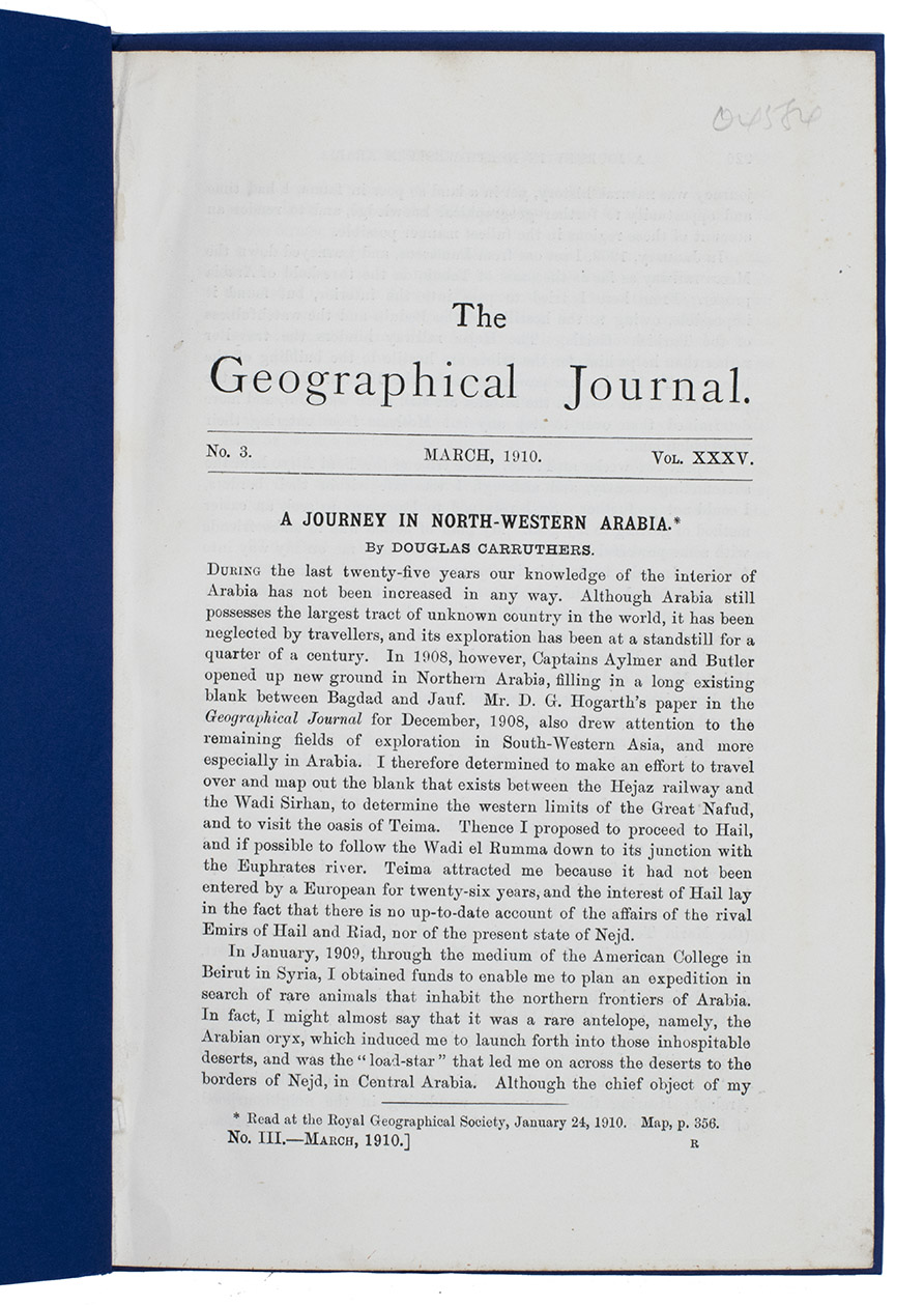
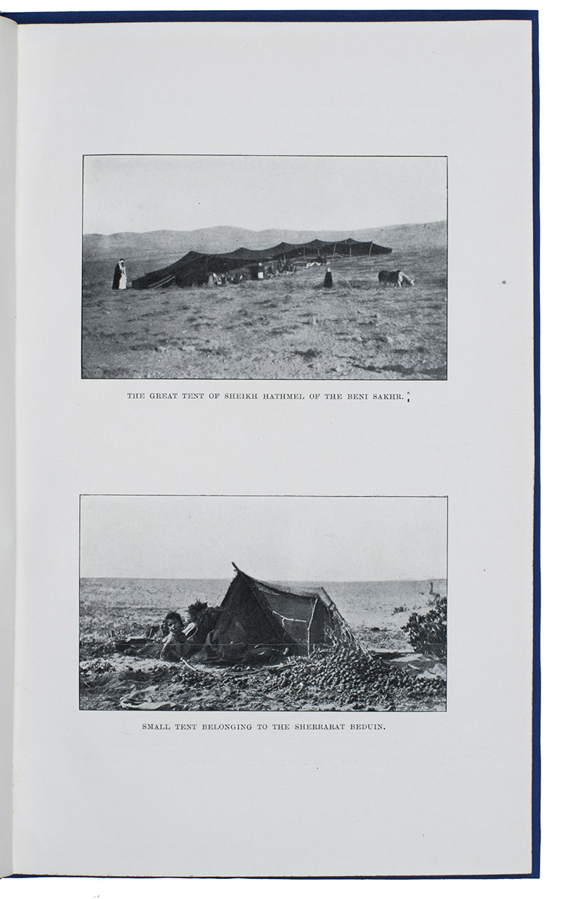
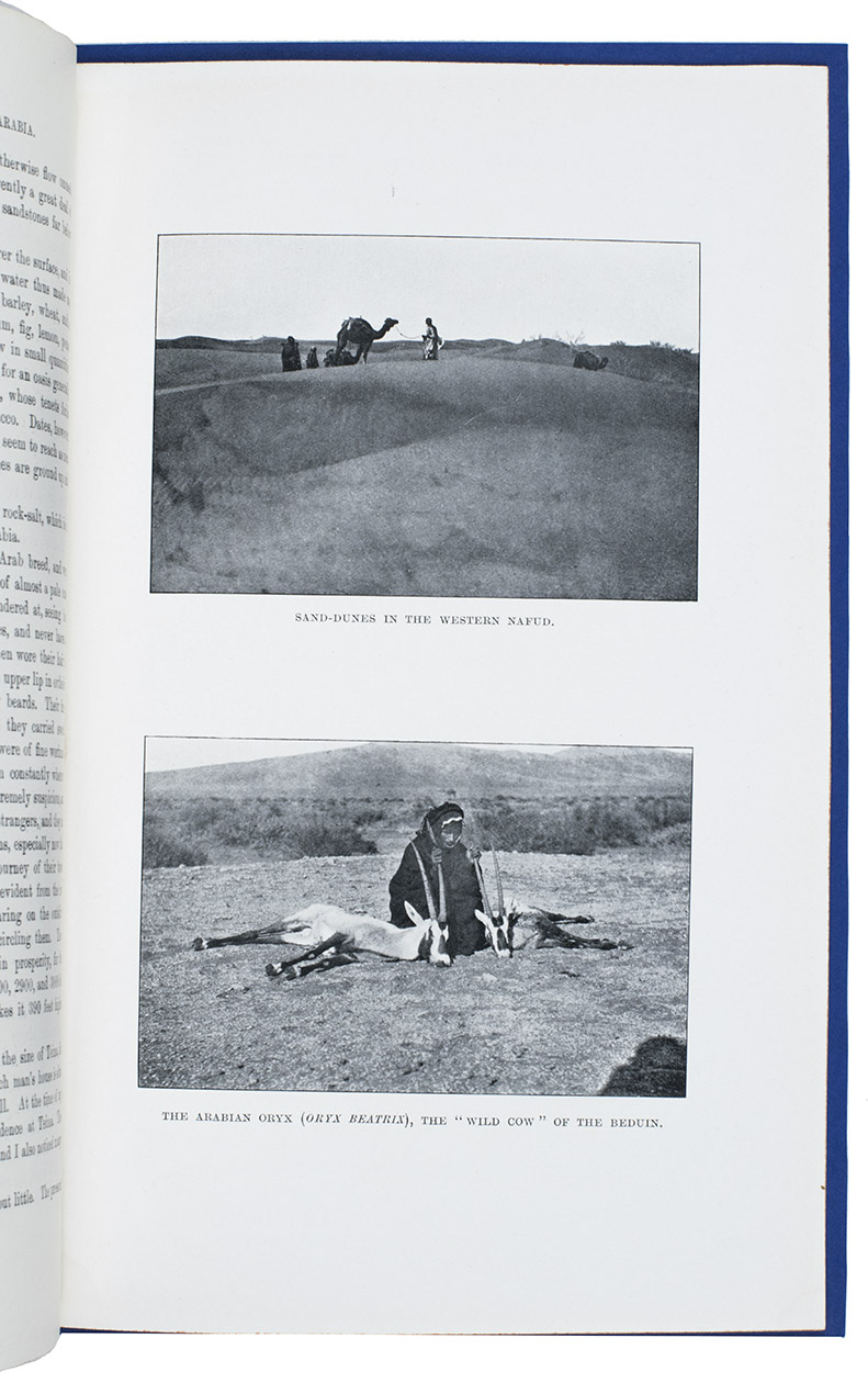
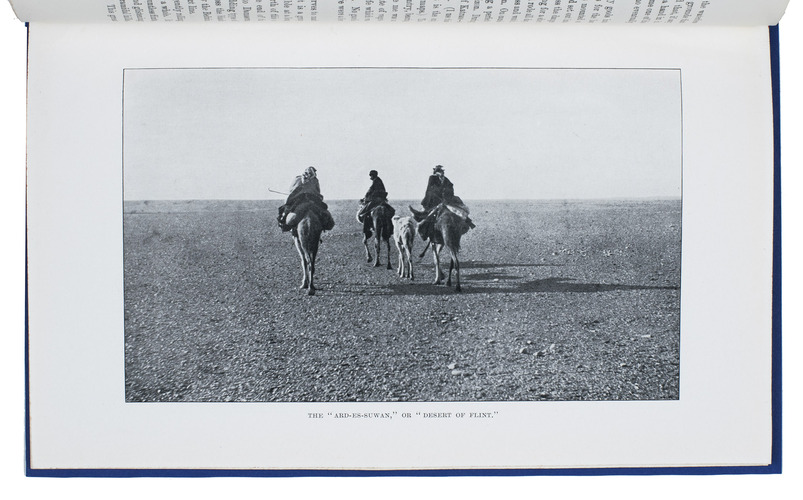
Abstract from The geographical journal, no. 3, vol. XXXV. Transcript of a presentation held at the Royal Geographical Society, January 24, 1910, by Middle-East-explorer Douglas Carruthers (1882-1962). He traveled the region that is now Jordan and north-west Saudi Arabia in an attempt to survey the land survey for latitudes and waterways. He also shows an anthropological interest by describing and depicting several Bedouin tribes, which he includes in his map. The tribal names are placed on the map in the regions where they were at the time of the journey.
Numbered in pencil on top right corner of title-page. Minor spotting on the map. Otherwise in good condition.
Related Subjects: