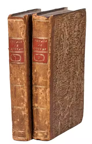
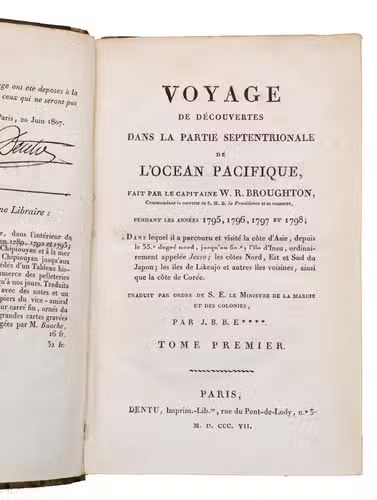
BROUGHTON, William Robert.
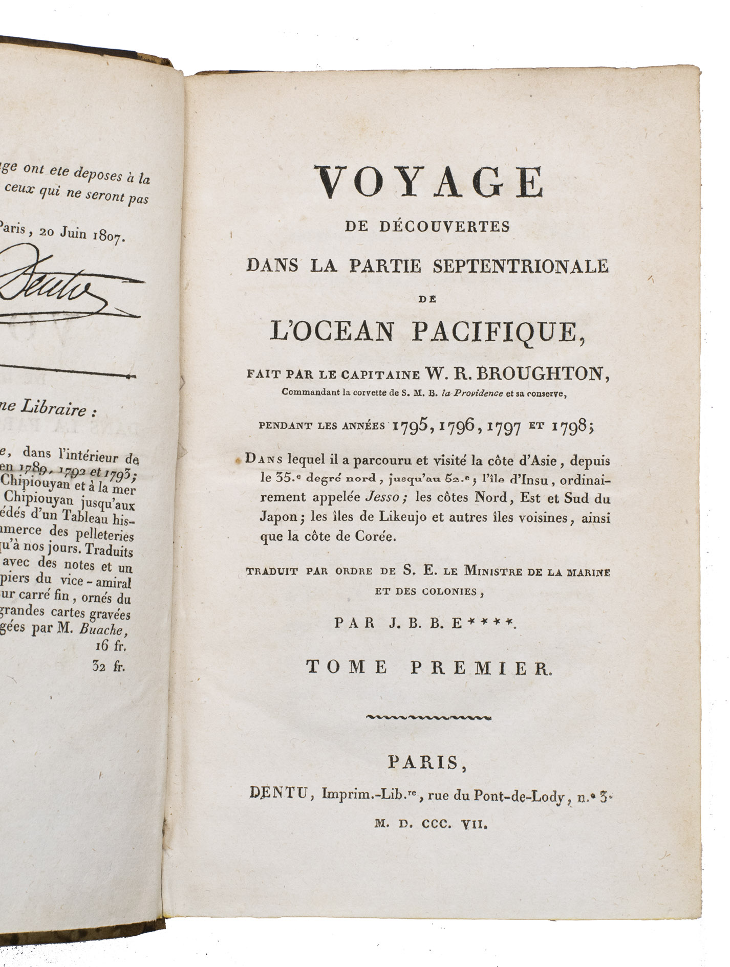
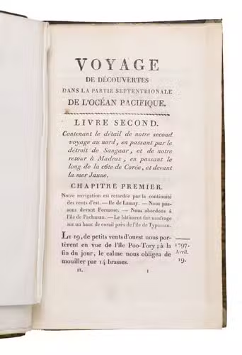
Voyage de découvertes dans la partie septentrionale de l'Océan Pacifique, fait par le capitaine W.R. Broughton, commandant la corvette de S.M.B. la Providence et sa conserve, pendant les années 1795, 1796, 1797 et 1798; dans lequel il a parcouru et visité la côte d'Asie, depuis le 35° degré nord, jusqu'au 52°; l'île d'Insu, ordinairement appelée Jesso; les côtes nord, est et sud du Japon; les îles de Likeujo et autres îles voisines, ainsi que la côte de Corée.
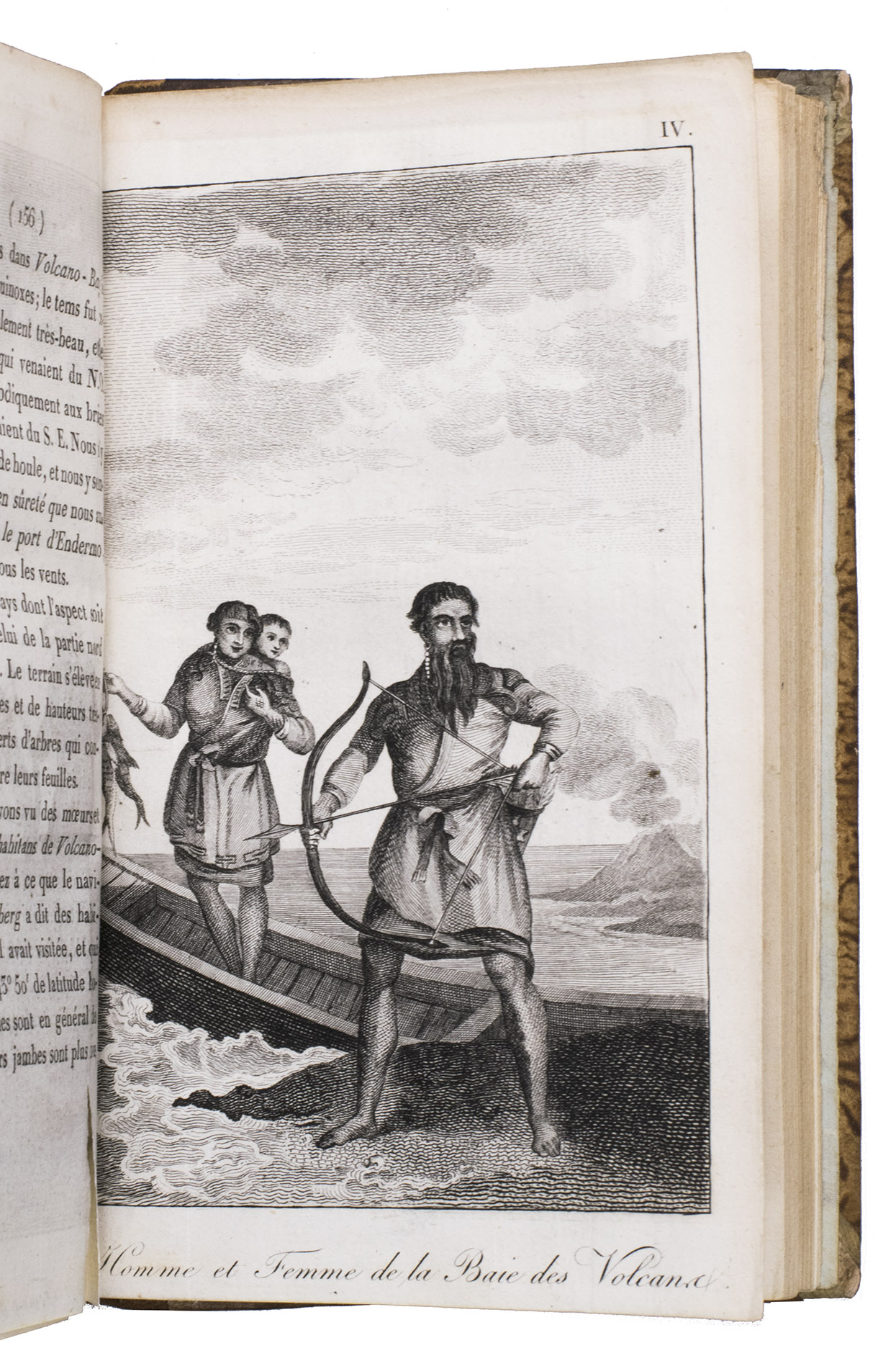
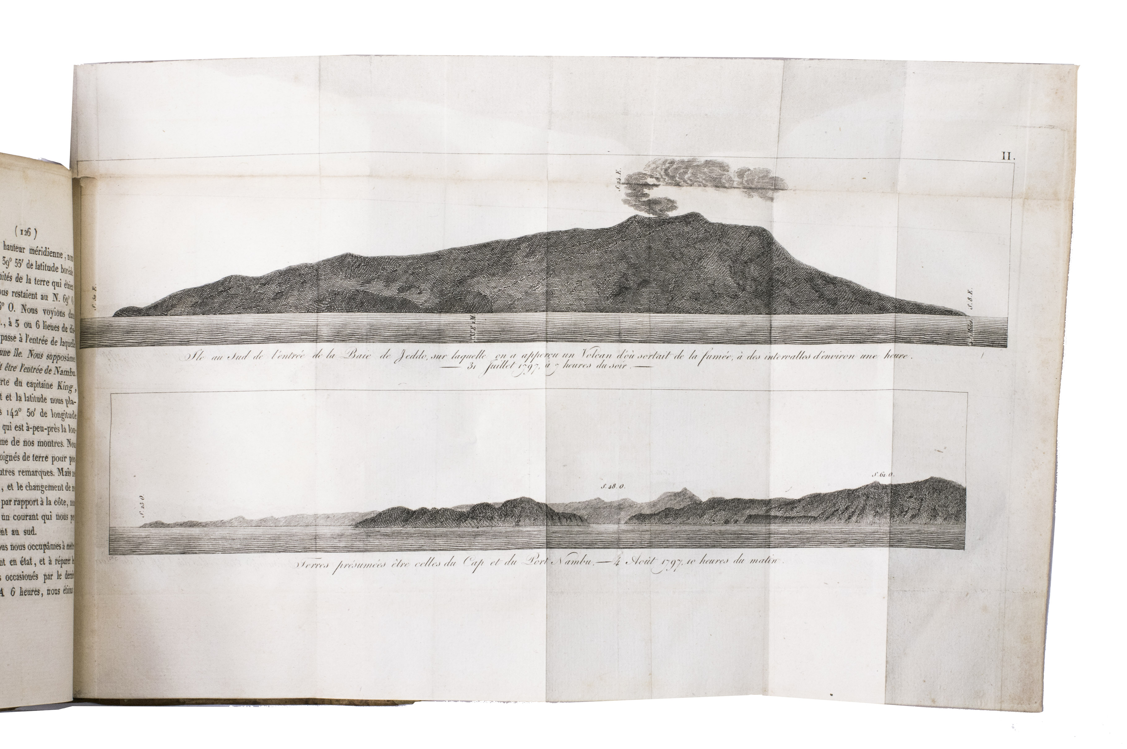
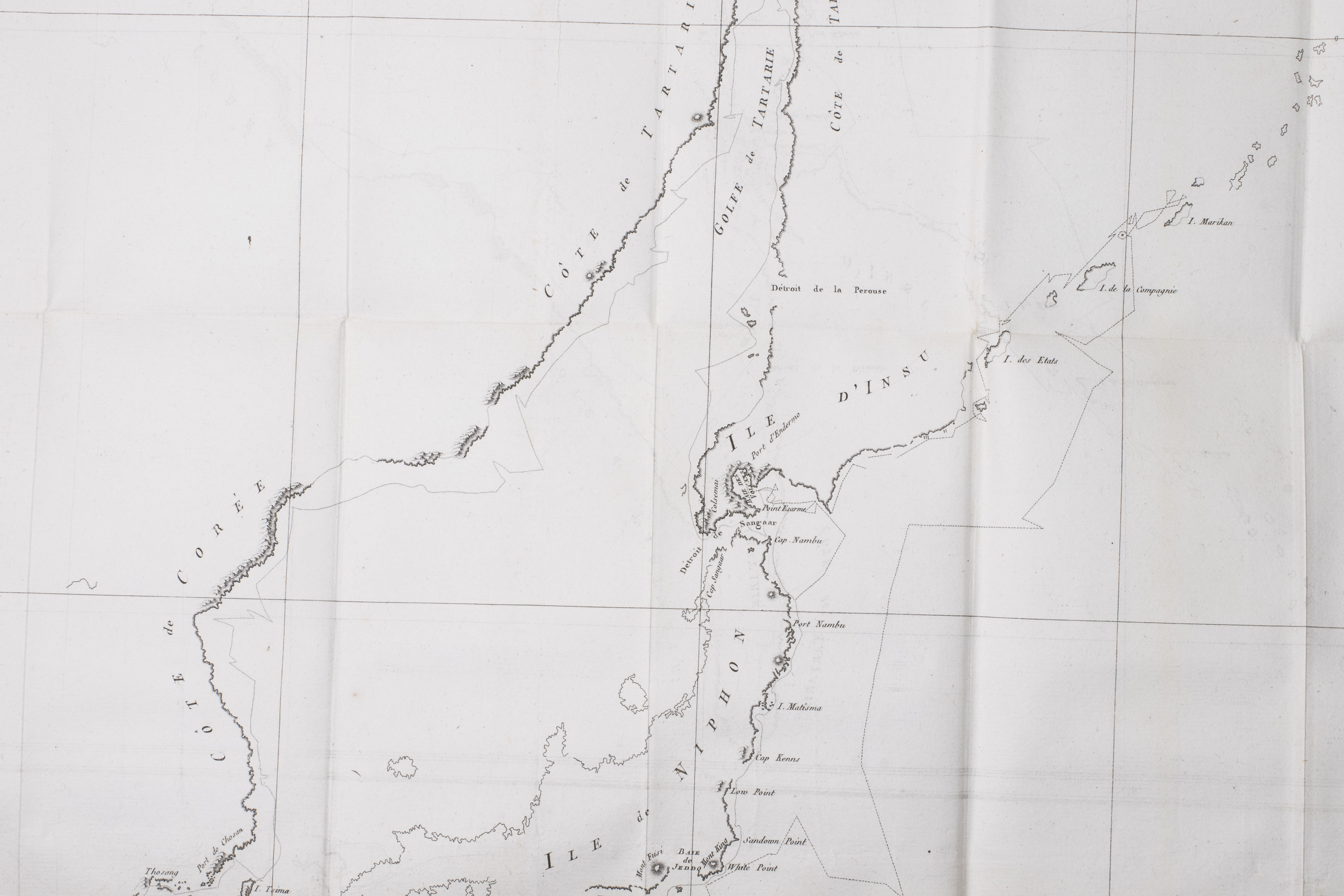
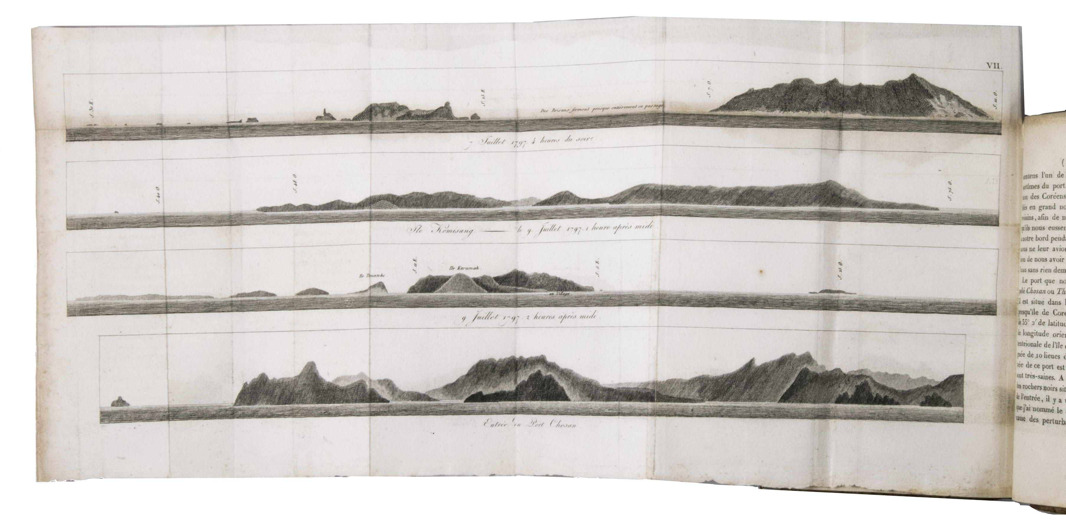
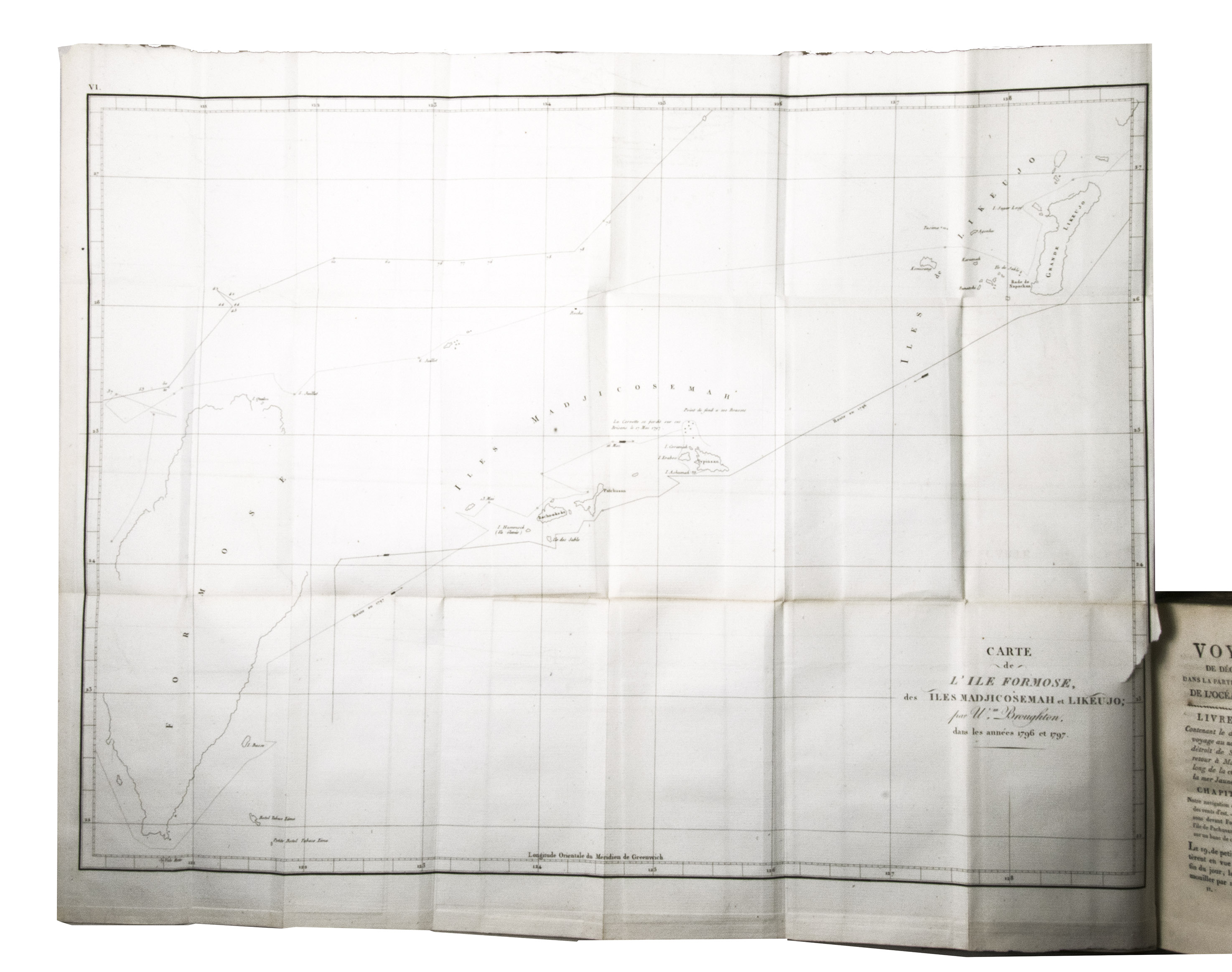
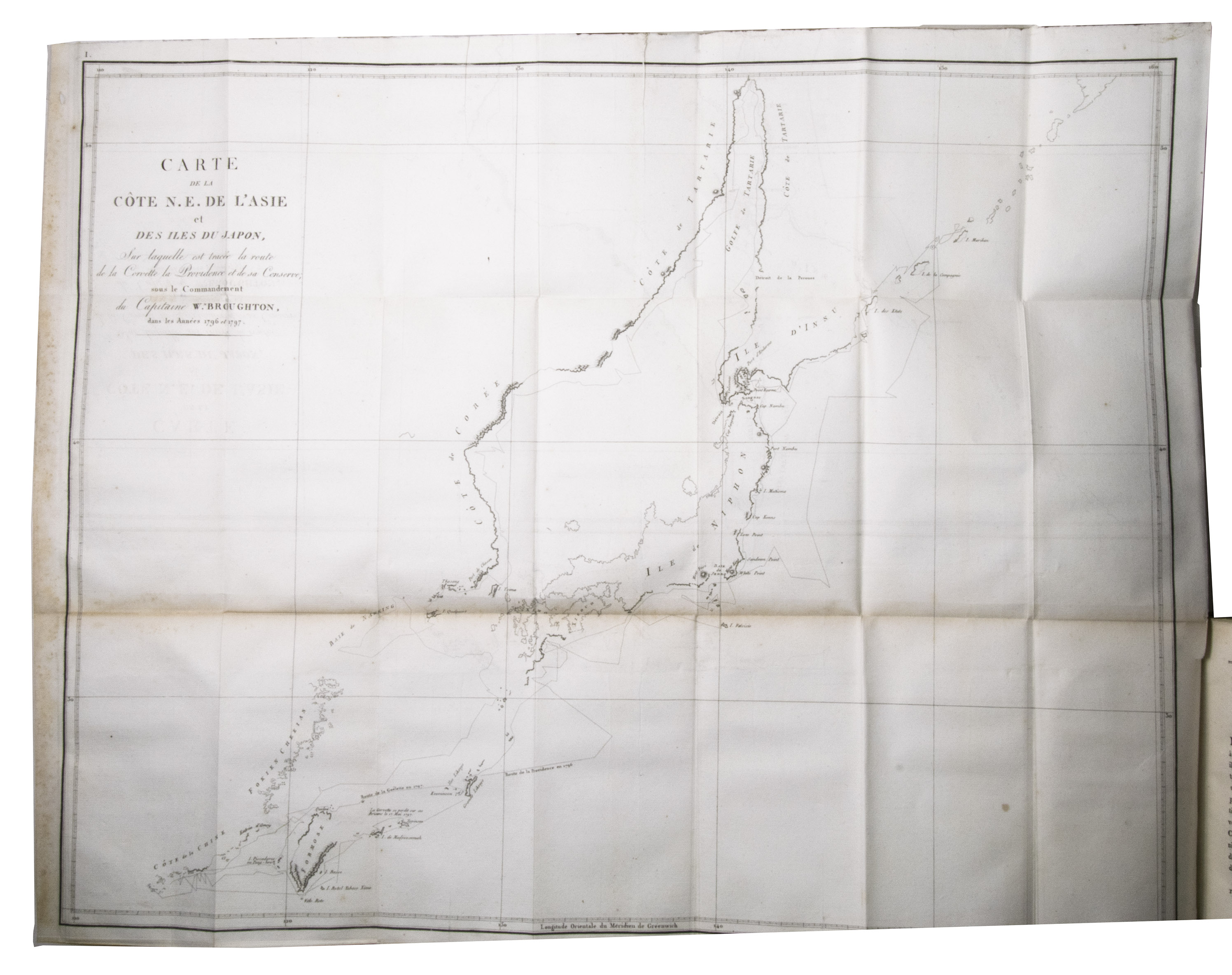
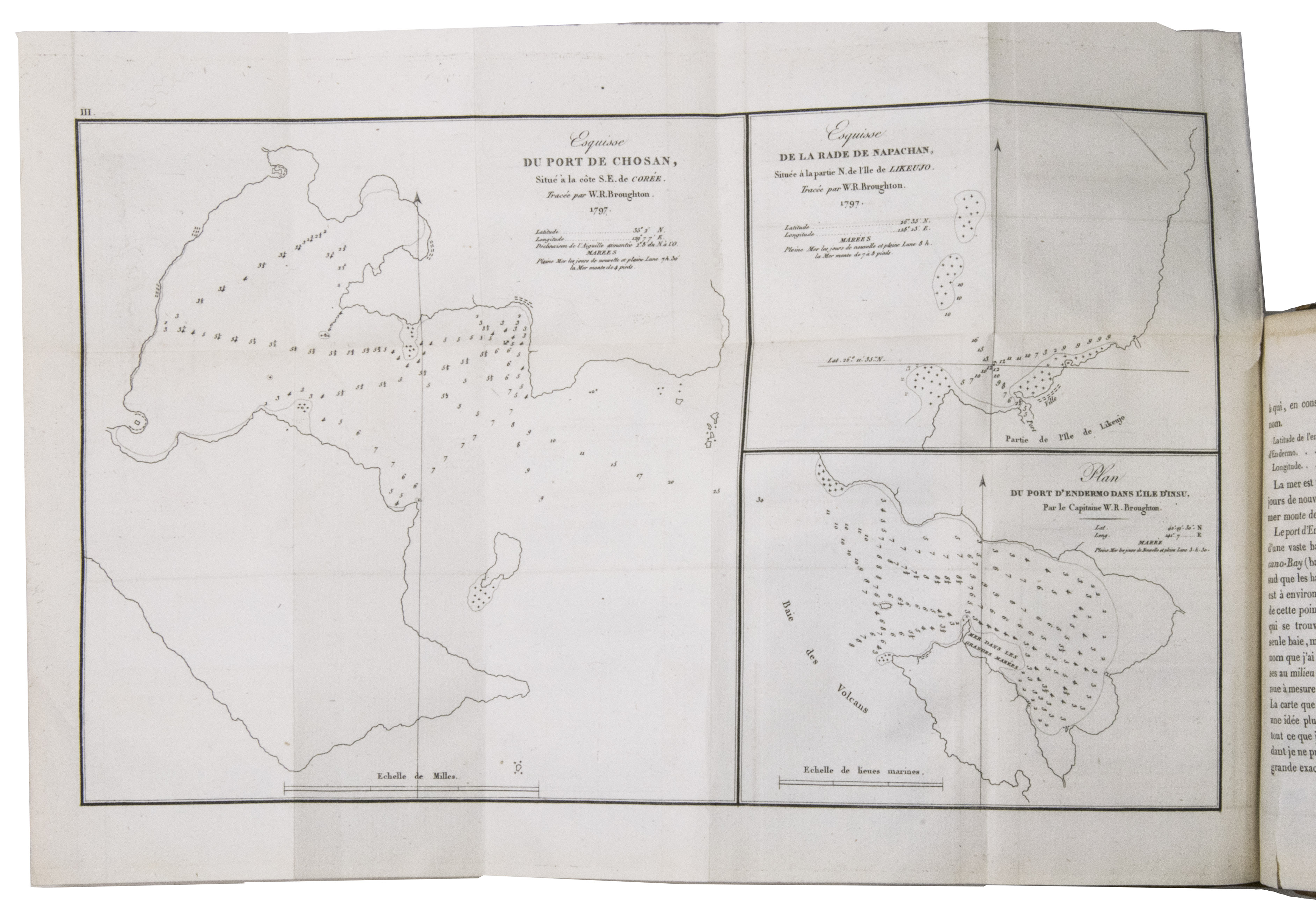
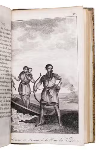
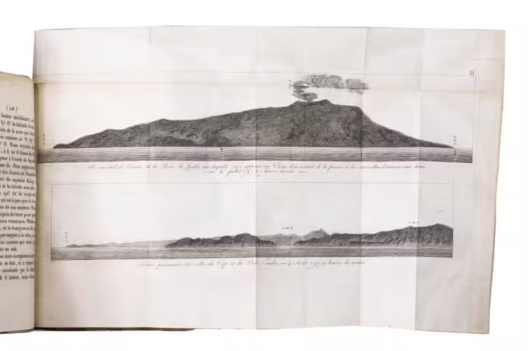
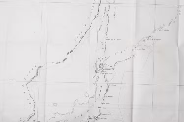
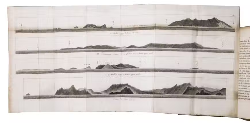
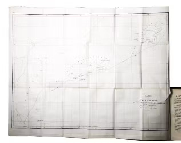
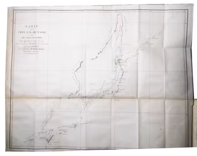
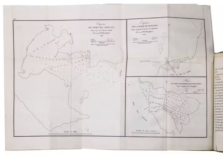
Paris, Dentu, 1807. 2 volumes. 8vo. With a large folding engraved map of the North-East coast of Asia and Japan, a folding engraved map of the islands Likeujo and Madjicosemah, 4 large folding engraved plates with plans and views of harbours and coastlines in Japan, Taiwan, and China, and a full-page engraved plate showing the costumes of Volcan's Bay. Contemporary gold-tooled quarter sheepskin. [6], XXXII, 243, [3]; [4], 341, [1] pp.
€ 1,000
First edition of the French translation of the account of an important expedition to the North Pacific, one of the most important ever made to the northwest coast of America. It was undertaken on the orders of the British Admiralty in order to join and assist the expedition of Captain George Vancouver (1757-1798) and to supplement the information provided by La Pérouse's voyage. The account is also of great interest for North-East Asia and Japan, as it includes several large folding plans and views of the coastlines and harbours in this region, as well as short vocabularies of the languages of Insu island, Likeujo, and Korea. The work further includes one of the few 18th-century accounts of Hawaii.
The British naval officer William Robert Broughton (1763-1821) sailed from England in February 1795 on the Providence, captain Bligh's former ship, to Rio de Janeiro with the intention to reunite with Vancouver in the Pacific. From Rio Broughton preceded to Australia, Tahiti and the Hawaiian Islands. Then he sailed up the North-West coast of America, to Nootka Sound on Vancouver Island (March 1796), hoping to meet up with George Vancouver. For England this was one of the most important voyages to the northwest coast of America, the results of which established the British claims to the Oregon territory in 1846. The continuation of the expedition was of even greater importance, however. Having missed Vancouver, Broughton sailed back down to Monterey on the coast of California and further across the Pacific to Japan where, for four years, he carefully charted the northeast coasts of Asia to the north and east of Korea, and of the Japanese islands, venturing further north than La Pérouse. Crossing the entrance to the Yellow Sea he surveyed the harbour of Chusan, and eventually arrived back in England in February 1799. The maps and plates in the present work show the important results of this voyage.
The present account was first published at London in 1804 under the title A Voyage of discovery to the North Pacific, which was reprinted in Amsterdam in 1967 in the series Bibliotheca Australiana, 13. The present work is the first French translation. A German translation appeared in 1805.
The spine of both volumes is somewhat rubbed. The margins of the plates are somewhat foxed, a tear in the lower corner of p. 243 of the second volume, not affecting the text. Otherwise in good condition. Alt Japan Kat. 259; Chadenat 4220; Paul Markham Kahn Collection (State-Archives of Hawaii) 3, 54; Sabin 8424; Wagner, Cartography, pp. 236 and 243; cf. Forbes, Hawaïan National Bibliography I, 382; Howgego B-167 (no French ed. mentioned); Judd 28 (English ed.); Kahn III, 54; Kroepelien 135.
Related Subjects: