ALTING, Menso.
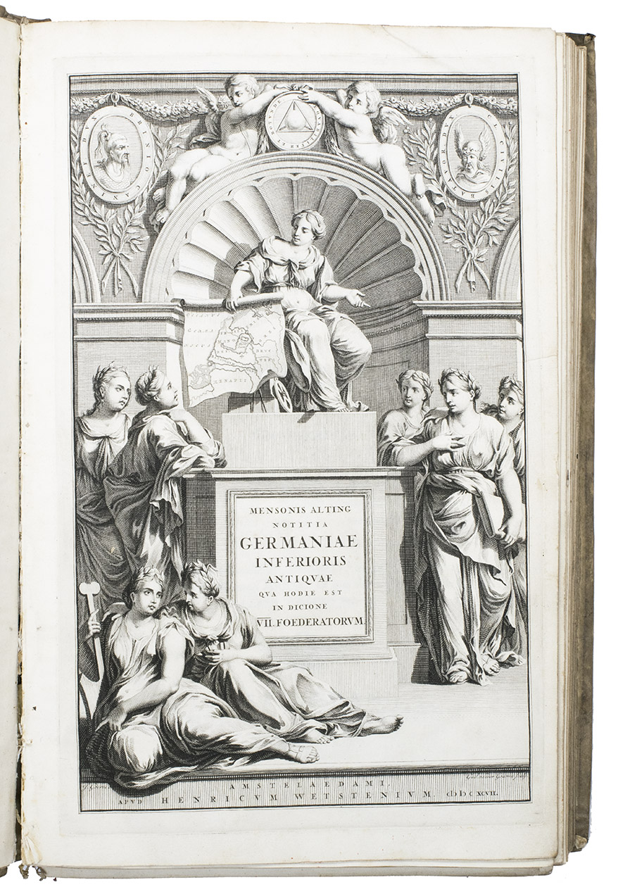
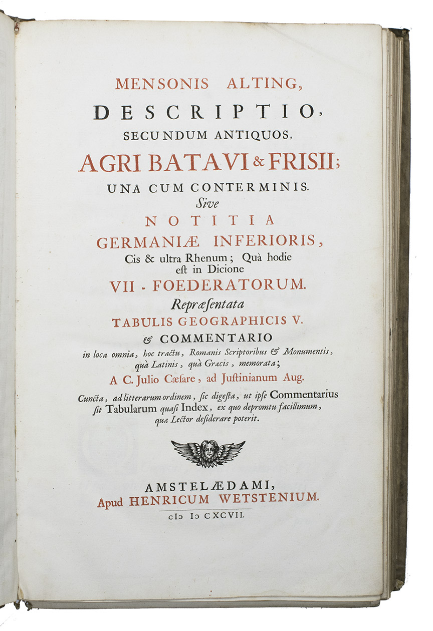
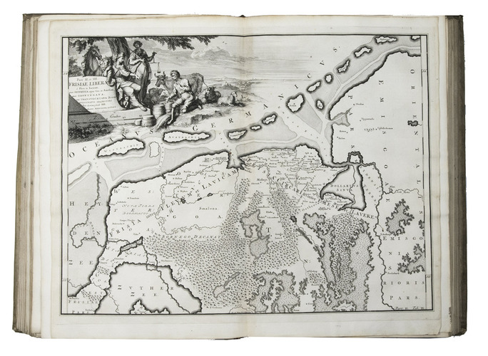
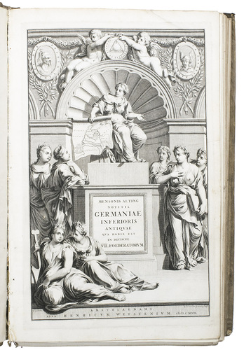
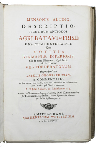
Descriptio secundum antiquos, agri Batavi & Frisii una cum conterminis sive notitia Germaniae Inferioris, cis & ultra Rhenum, quà hodie est in dicione VII Foederatorum. ... [Volume 2 with title:] Descriptio Frisiae inter Scaldis portum veterem & Amisiam, ...
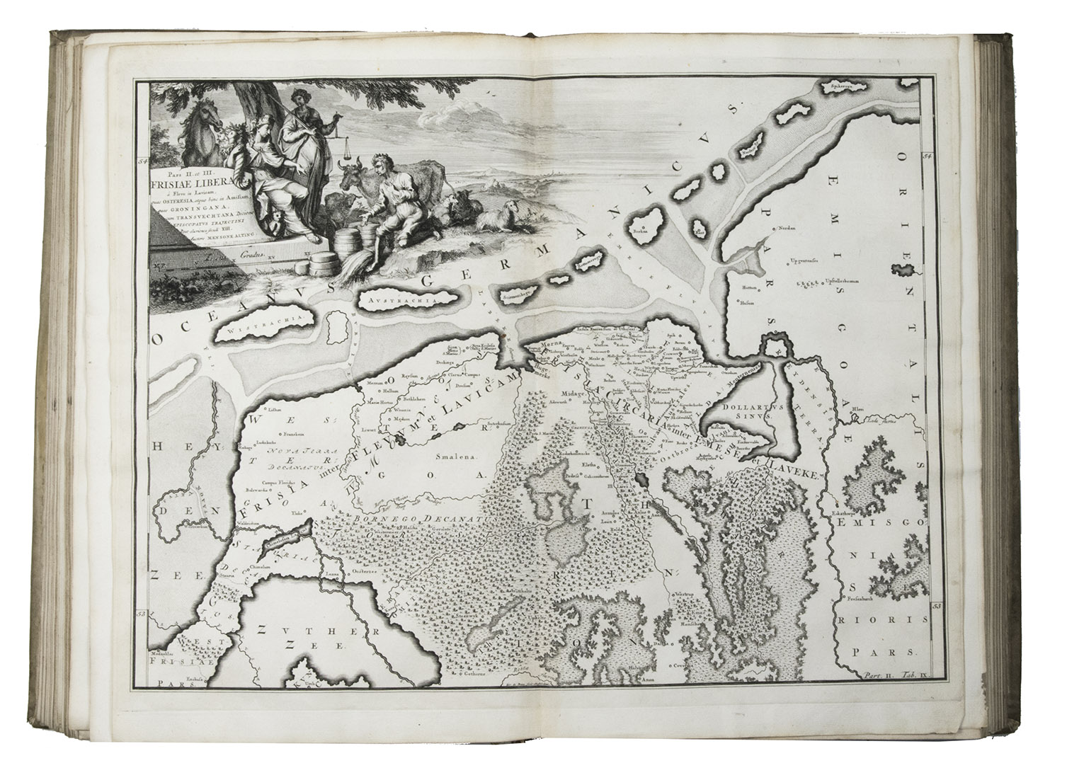
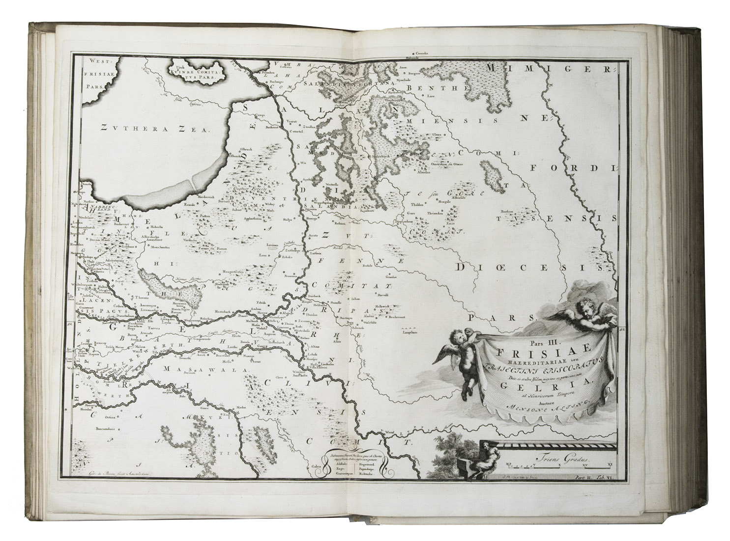
Amsterdam, Henricus Wetstein (vol. 2 adds Rudolf & Gerard Wetstein), 1697-1701. 2 volumes bound as 1. Large folio (37.5 x 24 cm). Richly engraved frontispiece by Jan Goeree, 2 letterpress title-pages in black and red, volume I with 6 double-page engraved maps,3 full-page engraved plates and a letterpress table, and numerous engravings in text; volume II with 9 double-page engraved maps by Gerard de Broen and a double-page letterpress table. Contemporary blind-tooled vellum. [24], 132, [20], 18, [2]; [32], 216, [40] pp.
€ 3,250
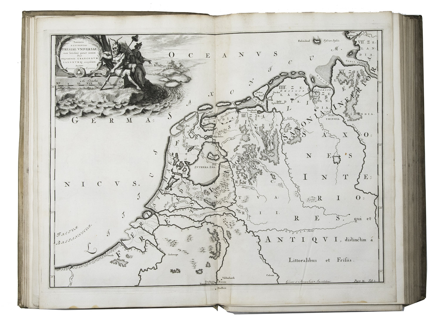
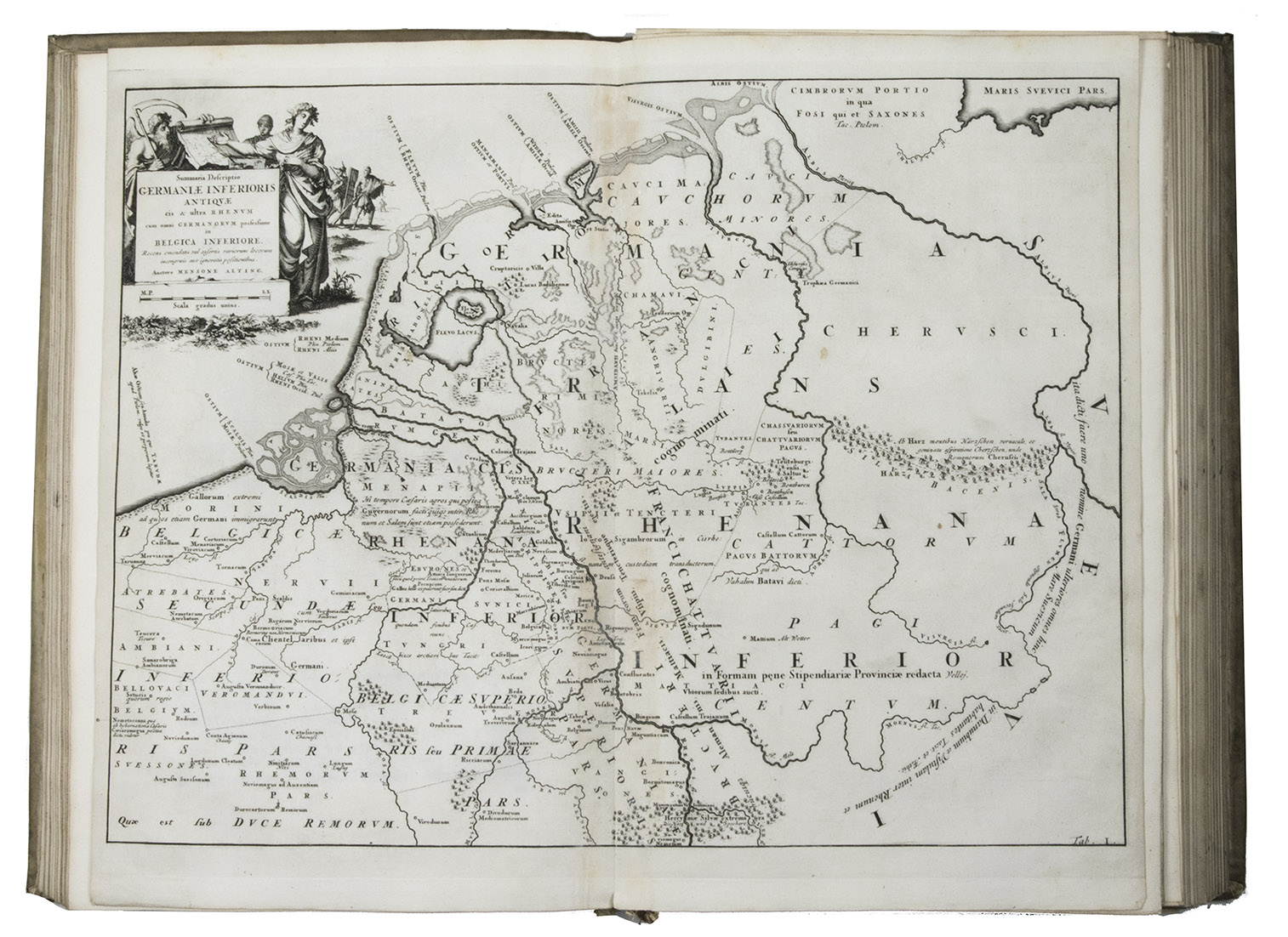
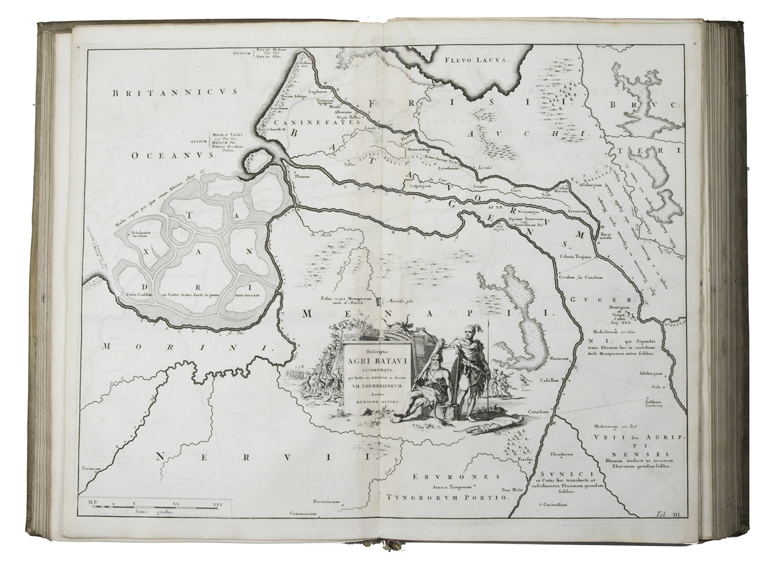
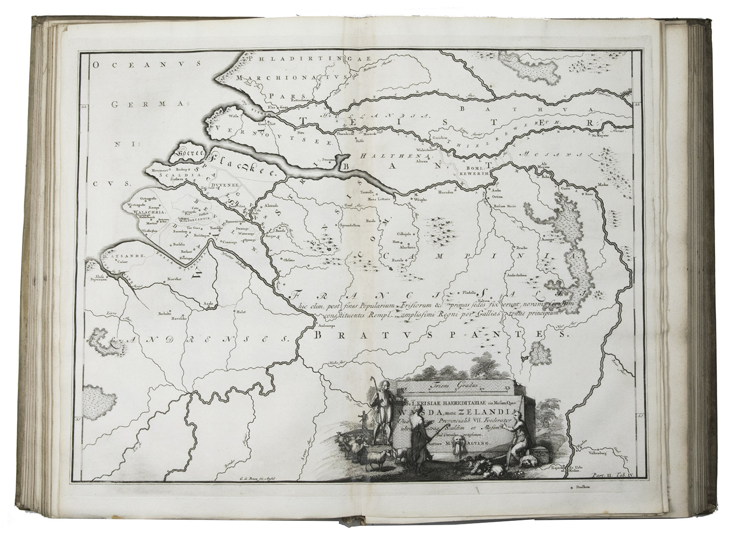
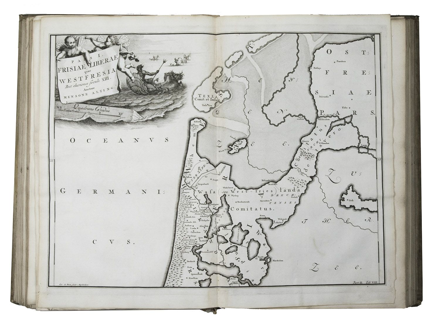
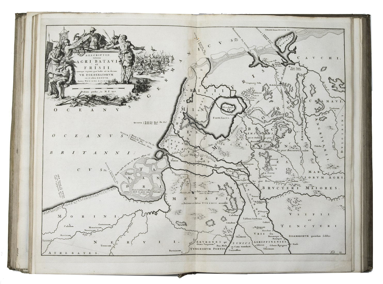
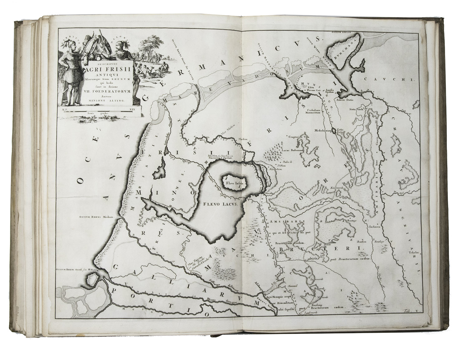
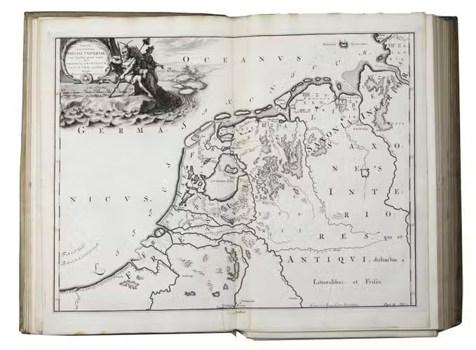
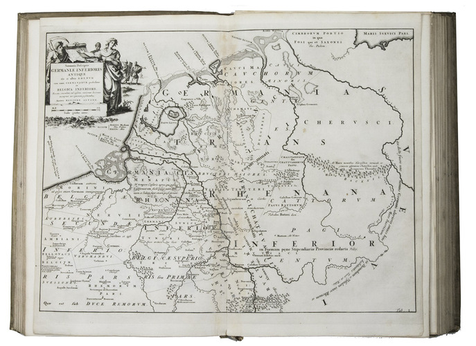
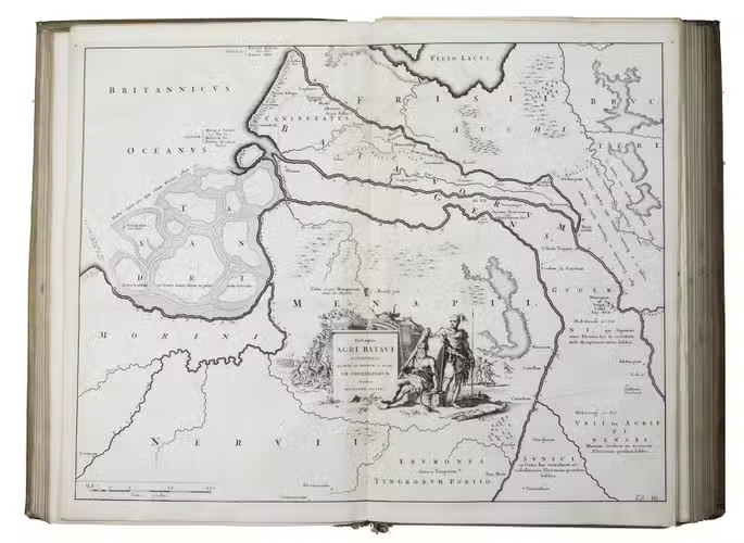
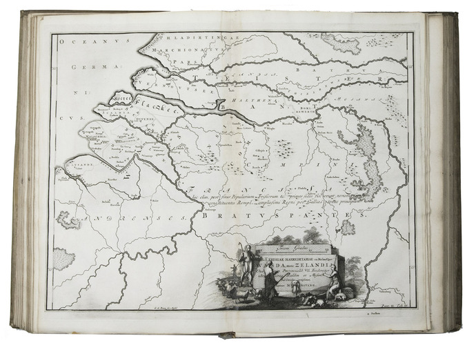
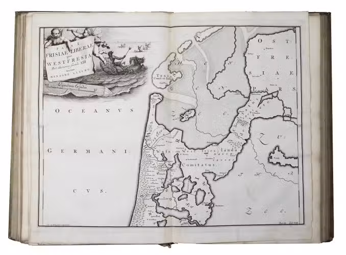
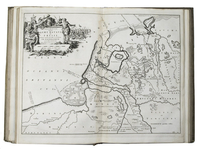
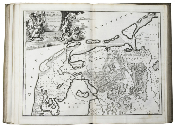
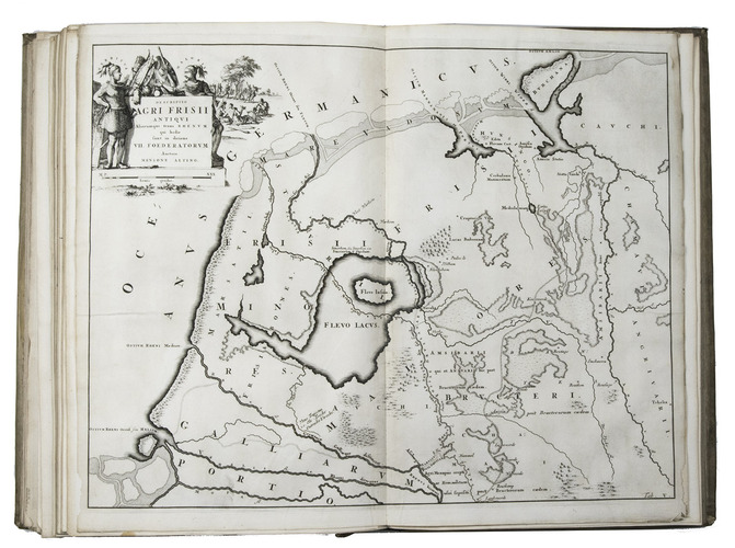
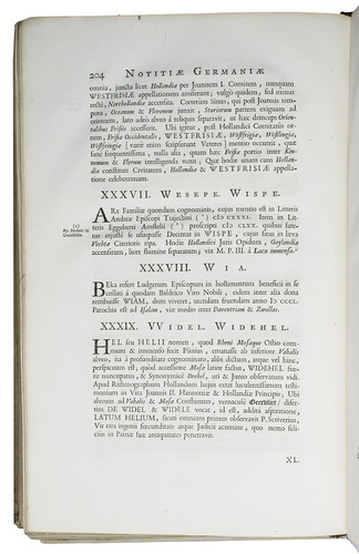
First and only edition, posthumously published, of Menso Alting the younger's description of the Low Countries. The work consists of two parts, the first part treating the Low Countries in antiquity according to classical authors, with finely engraved maps of the area and engravings of relics of antique culture such as inscriptions and tombstones, and in an appendix a comment on the Ptolemean map of greater Germany (from the Rhein to the Vistula in Poland) with map. The second part deals with the Medieval period, describing the places in alphabetical order and also with fine engraved maps, a table and indexes. Possibly the most extensive and detailed topographical work of the era.
Menso Alting (1617-1678) hailed from a family of reformed theologians and he was the son of the German professor of theology and rector of the University of Groningen Heinrich Alting. After his studies he became secretary and functionary at Selwerd and later judge at Sappemeer and eventually mayor of Groningen between 1686 and 1712. The engraved maps are the work of Jan and Caspar Luyken and Jan Goeree. The is a magnificent display of typographic materials, with the 6-page authors preface in Christoffel van Dijcks Ascendonica roman (about 21 point, leaded or cast on a larger body).
Some of the plates are detached. Internally generally in very good condition, binding slightly rubbed, somewhat loose in the spine and with the headband at the foot damaged and stained, but still in good condition. Brunet VI, 25131; Klaversma & Hannema 50-51; NNBW, 1, 100; STCN 841733023; Tiele 36-37; Van der Aa, 1, 223-224; Van Eeghen & Van de Kellen, 294.
Related Subjects: