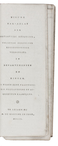
[MORTIER, David du (& son)].
Nieuwe zak-atlas der Bataafsche Republiek, volgends derzelver tegenwoordige verdeling in departementen en ringen.
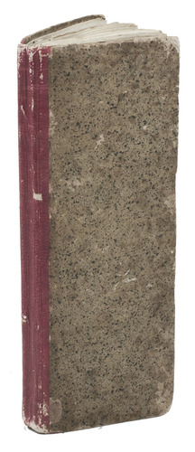
Leiden, David du Mortier and Son, 1800. Narrow 8vo (16 x 6.5 cm). With 9 hand-coloured folding engraved maps (ca. 16 x 20 cm). Contemporary red half sheepskin, sprinkled sides. [8] pp. text.
€ 2,500
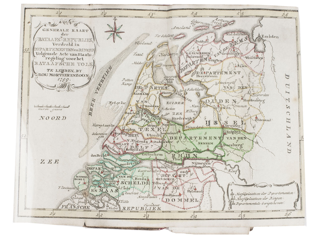
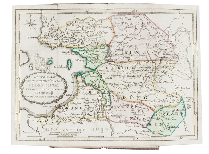
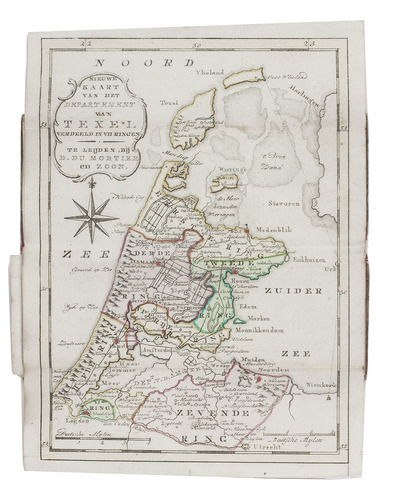
First and only edition of a rare pocket-atlas of the Batavian Republic, the successor of the Republic of the United Netherlands, founded in 1795 with the armed support of the French Republic and lasting only until 1806. The atlas contains 9 folding maps: a general map of the Batavian Republic (dated 1799), and 8 maps of the "departments" Eems, Ouden IJssel, Rhine, Amstel, Texel, Delft, Dommel, and Schelde and Meuse. The maps are reduced versions of the maps published in Mortier's Nieuwe zak- en reisatlas der Bataafsche Republiek (1799).
Binding shows some light wear. In very good condition. V.d. Heijden, De kaart van Nederland in de Franse tijd 19 (4 copies); Koeman, III, Mor, du 1; STCN (2 copies); for the earlier maps: Egmond, Covens & Mortier 81-90.
Related Subjects: