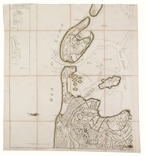
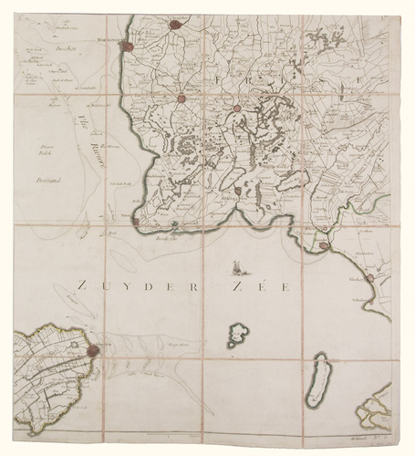
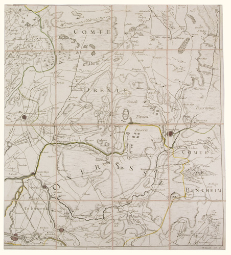
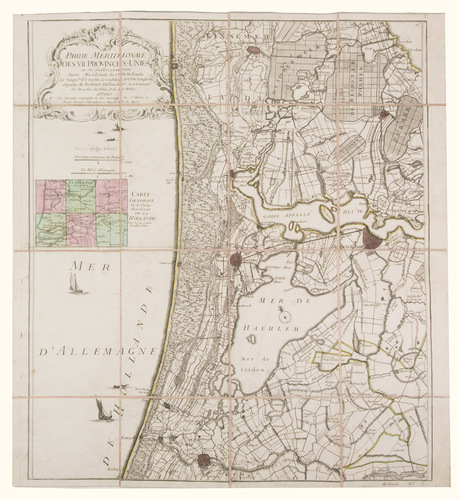
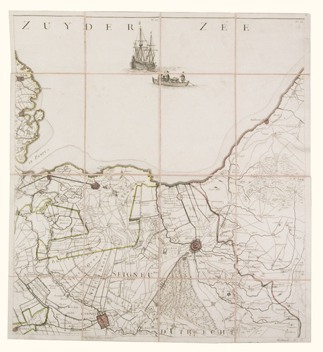
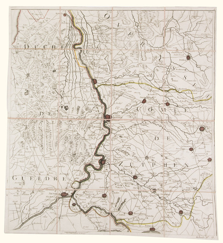
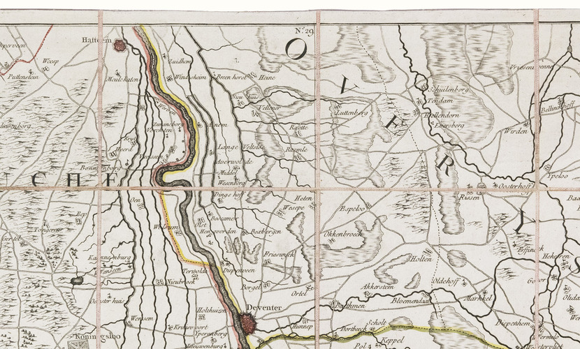
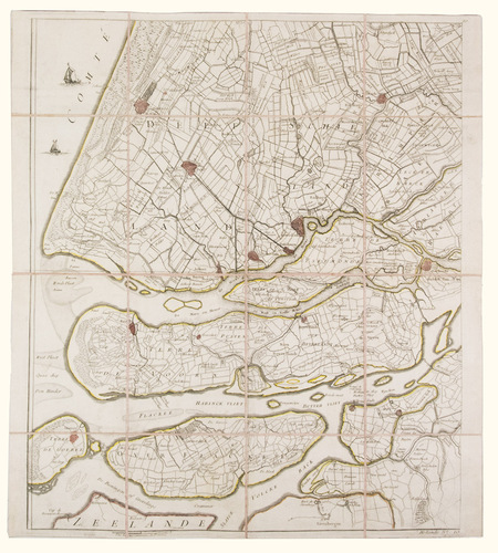
[MAP - NETHERLANDS]. [LE ROUGE, George-Louis].
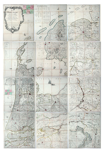
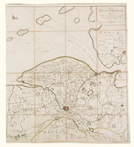
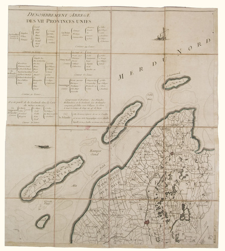
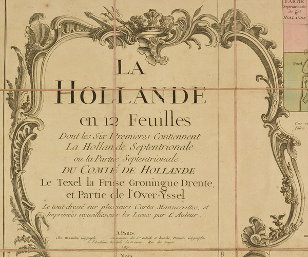
La Hollande en 12 feuilles.
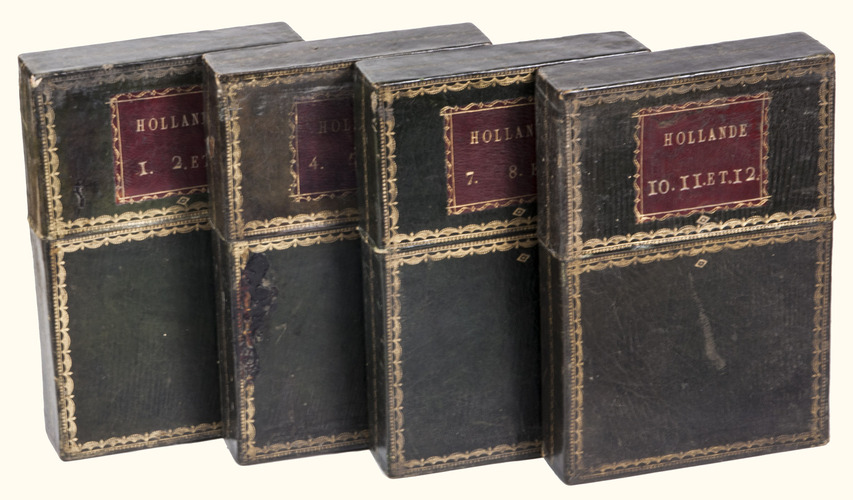
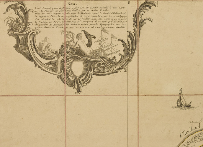
Paris, Jean Dezauche, 1790. Published on 12 sheets, numbered as 48 quarter-sheets. An engraved wall map of the Netherlands (excluding Zeeland), with the main title in a large cartouche at upper left, the Latin title at upper right. Many cities and coastlines, and a few other features, highlighted in colour. Cut, mounted on cloth and folded, in 4 contemporary gold-tooled green morocco boxes.
€ 8,500
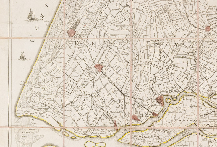
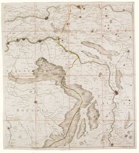
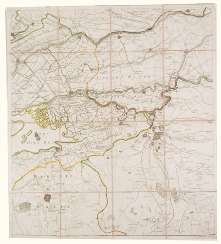
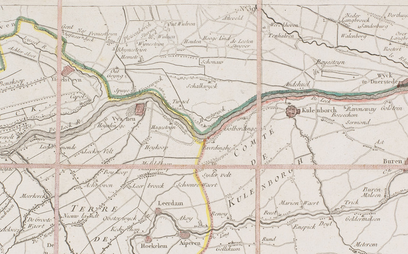
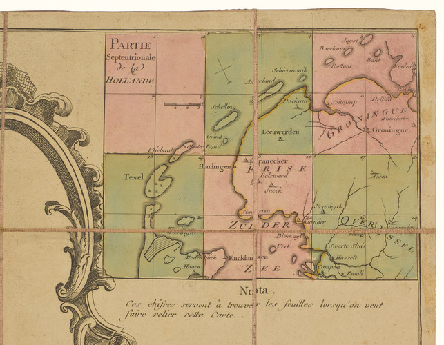
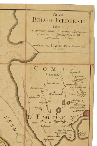
Third state of the first map of the Netherlands on such a large scale, mostly about 1:105,000, but with some eastern regions squeezed in at about 1:140,000. Fully assembled it has an image area of about 231 x 152 cm. Then as now, foreigners used the name "Holland" to refer to the entire Northern Netherlands, at this time comprising the seven provinces of the Dutch Republic. Zeeland falls almost entirely outside the borders of this map, however, so it covers the provinces of Holland, Utrecht, Friesland, Groningen, Overijssel and Gelderland (Drenthe was admitted as a province independent of Overijssel only in 1796). Originally published by Le Rouge in 1748, the plates were revised for publication in a second state by Jean Crepy ca. 1770, and in a third by Jean A. Dezauche in 1790.
2 sheets with slight glue stain in blank margins. Boxes a bit rubbed and scratched. Fine, well-preserved copy. De Vries, "Een Franse wandkaart van Nederland uit 1748", in: Caert-Tresoor, 1 (1989), pp. 24-29.
Related Subjects: