PENTHER, Johann Friedrich.
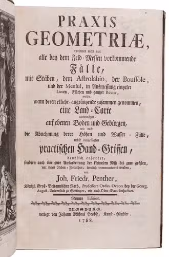
raxis Geometriae, worinnen nicht nur alle bey dem Feld-Messen vorkommende Fälle, mit Stäben, dem Astrolabio, der Boussole, und der Mensul, in Ausmessung eintzeler Linien, Flächen und gantzer Revier, welche ... eine Land-Carte ausmachen, auf ebenen Boden und Gebürgen, die Abnehmung derer Höhen und Wasser-Fälle, nebst beygefügten practische Hand-Griffen, deutlich erörtert... Neunte Edition.
With: (2) PENTHER, Johann Friedrich. Zugabe zur Praxi Geometriae, worinn noch verschiedene zur ausübenden Geometria nützliche Stücke, dabey auch zweyerley Arten architectonische Schnecken ... zu zeichnen angeweisen werden, und endlich eine Zusammensetzung einer guten Wasser Waage, wie auch derselben Gebrauch mitgetheilet wird.
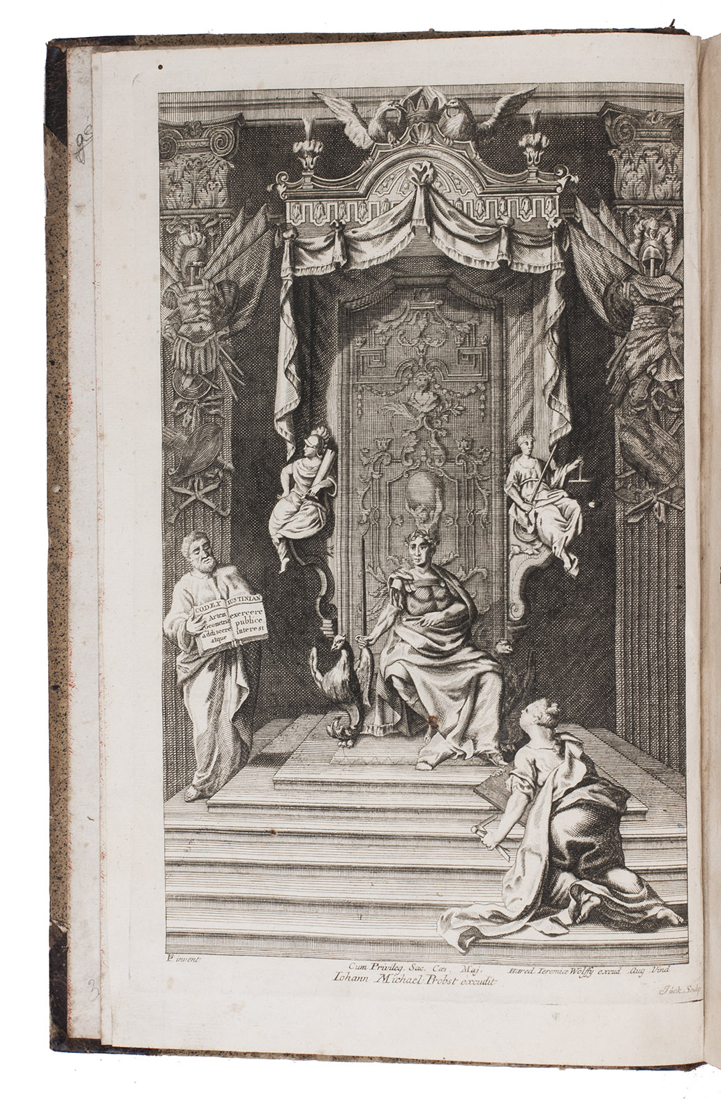
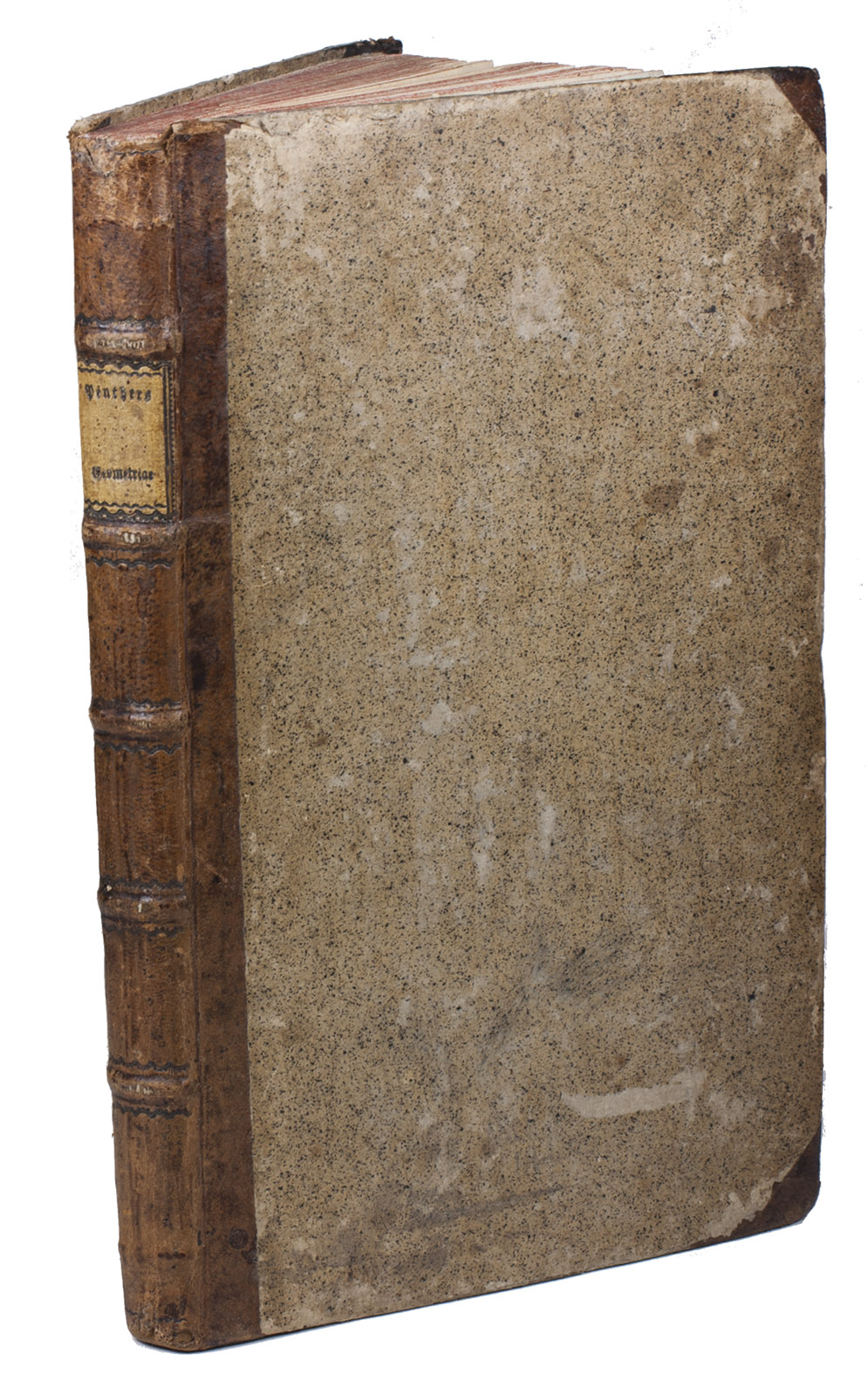
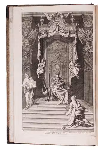
Augsburg, J.M. Probst, 1788-1790. 2 parts in 1 volume. Folio. With 2 engraved frontispieces, second title-page with half-page engraved town view, and 39 folding engraved plates. Contemporary half calf. [6], 97, [5]; 55 pp.
€ 500
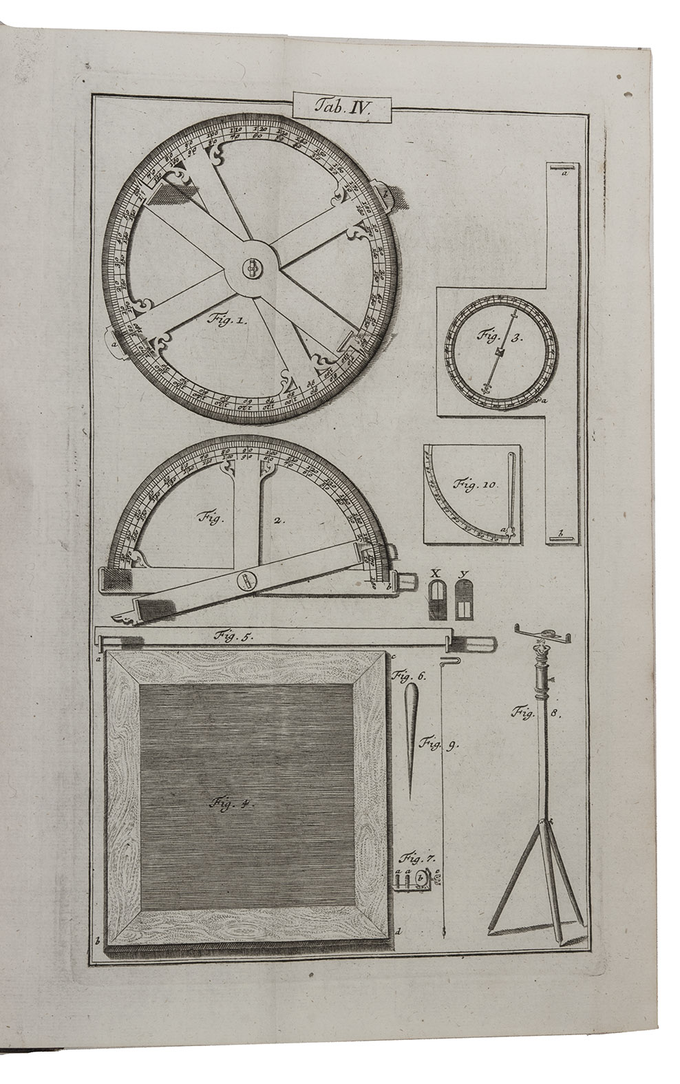
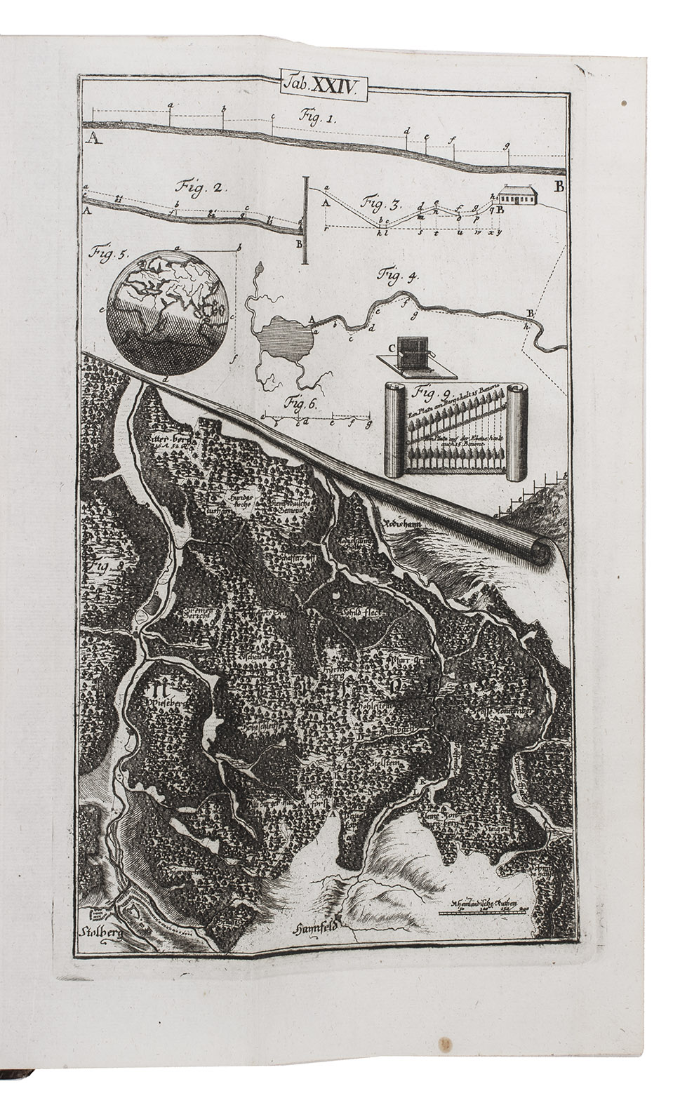
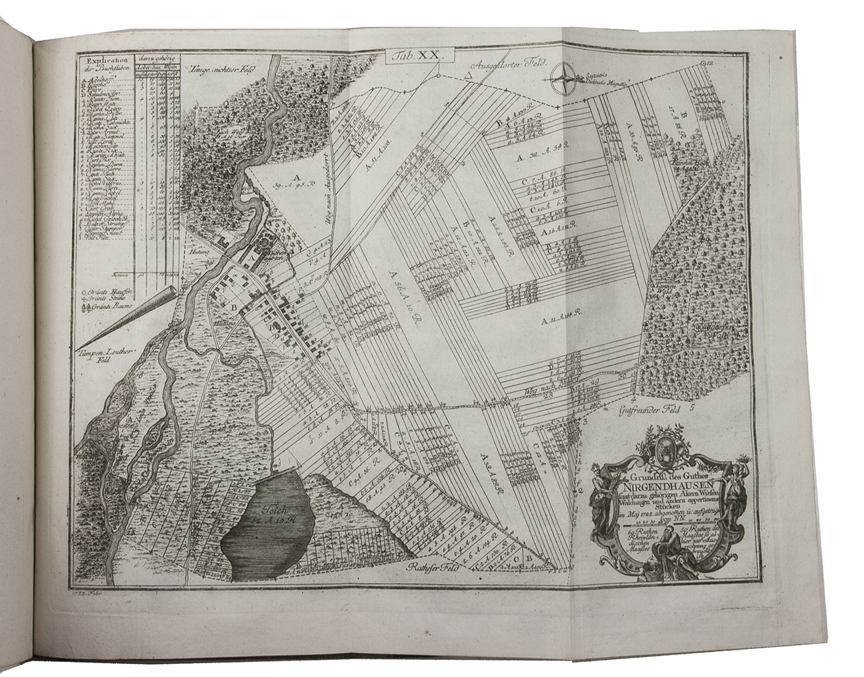
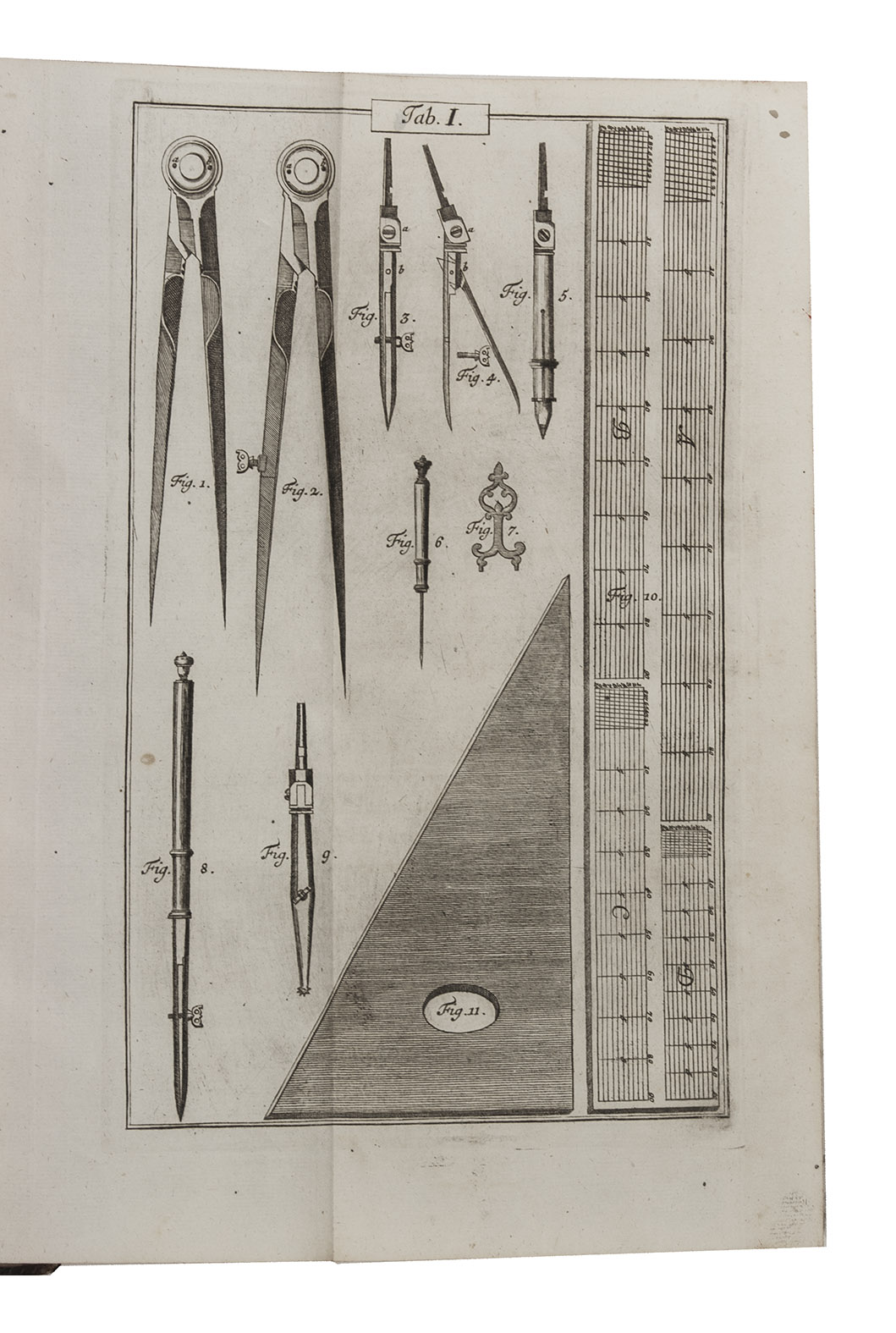
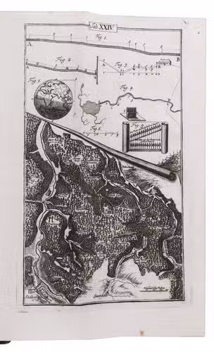
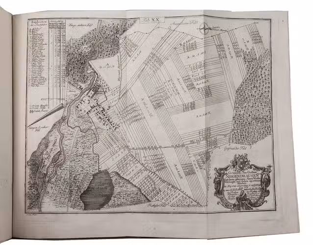
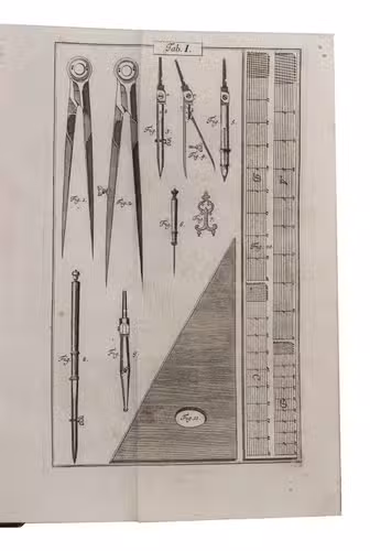
Ninth edition of "one of the most popular German works on surveying" (Sotheran). Johann Friedrich Penther (1693-1749), professor of mathematics and economy at the university of Göttingen) deals with geometry and its application in surveying. He discusses the instruments used, such as rules, compasses, graphometer, geometrical circle, geometrical table, surveyor's level pole, and shows how to calculate the size of differently shaped surfaces, circles, cones and cylinders, how to draw multiple-angled surfaces, circles, etc., how to calculate distances in flat areas and mountainous terrain, how to divide a piece of land, how to draw a fortification, etc. The Zugabe deals with the calculation of the contents of cones and cylinders. This knowledge is applied to tunnels, architecture (sloping walls, arches, etc). Penther also includes his design for a surveyor's level pole. Each subject is accompanied by a folding engraved plate showing measuring instruments, geometrical figures, maps of lakes, roads, estates, architectural structures, etc. Penther's lucid style and the attractive illustrations made his work very popular and it went through nine editions (see Sotheran, who states there were eight editions).
With owner's inscription. Small corrosion hole in frontispiece and pl. 36, wormhole in upper right corner throughout, slightly affecting upper right margin of the plates, some browning. Nevertheless a good copy with the plates in good condition. Cf. Berlin Kat. 1735; Honeyman 2444, 2445; Poggendorf II, cols. 399-400; Sotheran, Second suppl. 2158-2159.
Related Subjects: